Sunday, May 26, 2013

Pian dei Grassi

Woke this morning to clear skies and the odd sight of snow covering Pala Fontana, the mountain above our town.  I don't remember this happening in late May previously.  Temps are also unseasonably cold.  I cruised down through Vittorio Veneto and turned toward Revine Lago.  At the first town, Longhere, you take a right turn marked "Fais."  It's immediately steep, and other than a couple of brief dips and tornanti ends, stays that way for the next 12 km.  Worst bit is the village Vizza, with 400 meters averaging 14%, with some 17-18% ramps.  Around 630 meters the country lane turns into a wide modern road- excellent!  The road mostly stays around 8% from here on, with some 11-12% stretches.  Lots of Sunday bikers, hikers out today; during the week this road is virtually deserted.

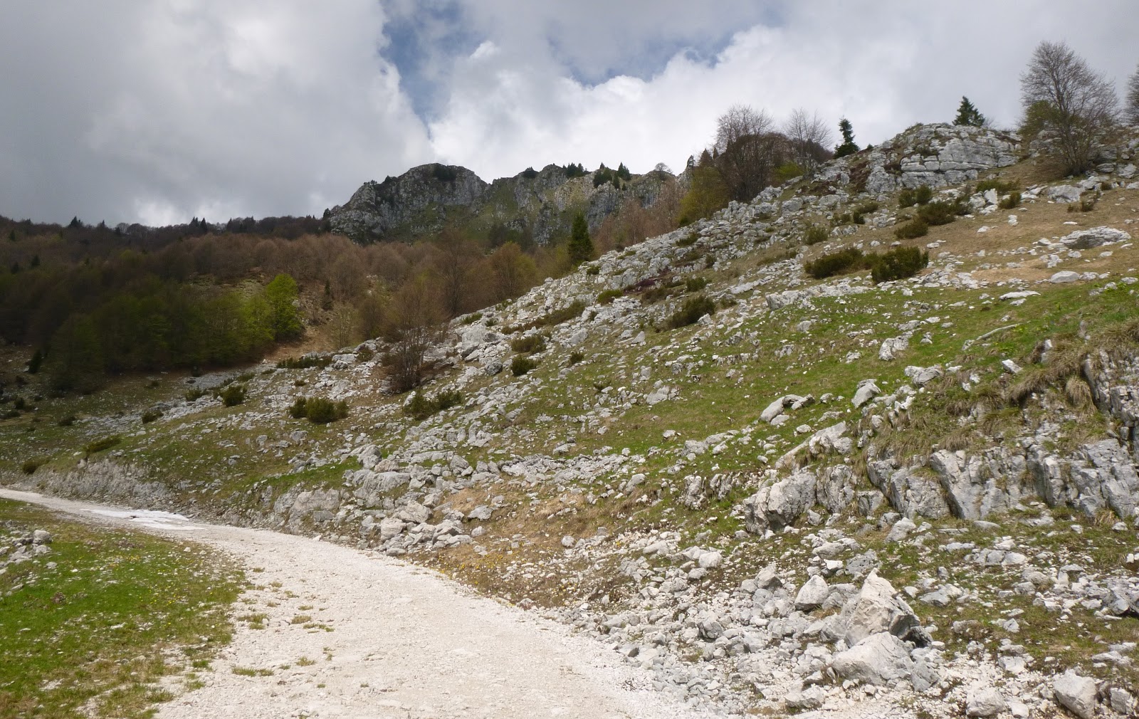
The pavement ends at 1217 meters, though there is a side road that will take you up to Monte Cor at 1300.  Today I was beat so I turned around.  Had a nice tailwind from Vittorio Veneto to Fiaschetta- that helped.  The gathering black clouds finally sprinkled a little as I reached Giais, then after I was safely home it started raining.  Very lucky!  This is a good hard climb. 
   

Vittorio Veneto and the prosecco zone;
too hazy to see Laguna di Venezia today.

Col Visentin on upper left and Monte Pizzoc on the right

Beautiful pedemontane between Caneva and Vittorio Veneto

Ca' Andrea rifugio at Pian dei Grassi


Thursday, May 23, 2013

Strada degli Alpini Hike

I headed up Valcellina past Lago di Barcis, both filled to the brim with snowmelt and spring rain.  At Claut I continued down to Torrente Cellina at Lesis.  Men were paving the road, and understandably they told me not to ride my bike on it.  I asked the guy if I could walk along the narrow grassy edge and he said ok if I carried my bike.  Luckily I had brought along my sneakers in my backpack so I put them on and carried my bike past the work site.  From here I crossed the river (which was roaring white water instead of the usual gently babbling brook).  After a bit the road heads quite steeply up a shady series of switchbacks.  I stood most of the way and was surprised I didn't have to stop to rest.  Then around 660 meters I heard kids and found a gaggle of schoolchildren on a field trip with their teachers.  I waited for them to go on, but a couple of minutes after I restarted I caught up with them again.  The teachers herded them mostly onto the right side so I slipped by. 

Shortly afterward, the pavement ends and the road turns to gravel, barely rideable on skinny road bike tires.  I made it to the pastures at Casera Casavento and locked my bike to a trail signpost.  I put on my sneakers and headed up the trail toward Forcella Clautana.  I've been wanting to go up there ever since an Italian mountain biker, Ermione, told me you could cross the pass and descend to Lago Ca' Selva.  The trail is called Strada degli Alpini, built by Italian mountain soldiers during World War I.  Great trail, with plenty of long switchbacks to ease the gradient.  I wouldn't be able to ride a mountain bike up it though.  I think there are some rideable stretches on the descent, saw a video of it that looked fantastic.  Anyway I made it to 1118 meters, the top of the waterfall that plummets 200 meters down to  the dinosaur footprint fossil the schoolkids had hiked to see.  I had run out of time and wouldn't make it to Forcella Clautana today.  Maybe I'll bring the dogs and we'll hike it soon.

Casera Casavento from Strada degli Alpini trailhead

Young bull with  bell at Casavento- this is the color of the local cows,
though there are also Herefords and Holsteins here nowadays

Looking down from Strada degli Alpini at Casavento pastures

Wild Genziana along the trail

Looking back up the valley toward Forcella Clautana

Tuesday, May 21, 2013

Panuch

Tried to get in a quick ride before the rain.  Very bad storm yesterday afternoon- hail damaged my neighbor Tony's son's car on their way up here from Venezia.  Also took out our internet service until 1400 today. 

I left early with wind jacket- it's 50℉ in late May in Italy.  After Meduno headed across Lago di Tramonti dam and then up Val Silisias to Lago Ca' Selva.  Both lakes are very full with sluices wide open to let the water out.  I don't remember seeing that before.  After crossing Ca' Selva dam I headed up a short gravel stretch and then the main attraction- the 1 km paved road averaging 14% up to Panuch (645 meters).  The road is shady, damp, slippery with wet leaves, with drainage grates wider than my tires.  In other words, great fun!  I made it up to the little bridge at 600 meters before stopping to rest my head on the handlebars and pant for 5 minutes.  Refreshed, I assaulted the remaining climb, stopping at the highpoint, Panuch, to do some more hyperventilating.  You can continue down to near lake level where the road turns to gravel, but I was whooped today.

Sped home and beat most of the rain except for some drizzle at Montereale.  Good medium ride. 

Open sluices at Ca' Selva dam on Torrente Silisias

Roaring water interrupting the silence of Val Silisias

Looking north across full-to-the-brim Lago Ca' Selva


Sunday, May 12, 2013

Monte Pizzoc da Villa a Villa

Heavy rains yesterday washed all the haze from the sky, and this morning was crystal clear.  I headed through Caneva to Villa a Villa and began the climb.  This is probably the prettiest of the southern approaches to il Cansiglio, as well as the least-travelled and shadiest.  Despite the shady stretches I was very hot until 750 meters, where I submerged into a thick, dark, and cool beech forest.  This wonderful environment continues to 950 meters where you join the road coming up from Sarone.  The beech forest also continues, though the trees are a bit further apart. 

After La Crosetta you descend briefly and then turn left toward Monte Pizzoc.  They've paved this road recently so it's very smooth.  The high beech forest is even more spectacular, with tall, thick trees and mossy karst-stone understory.  Around 1400 meters the forest gives way to alpine meadows.  Now big thunderheads were forming overhead, but still with beautiful clear views across the plain to the Adriatic coast curving from Istria to Venice.  Quite cold up here- everyone was wearing parkas with hoods. 

I descended rapidly to Sarone then it rained until I reached Polcenigo.  It actually felt pretty good, maybe because I was still euphoric.  My wet clothes dried out on the remaining ride home, keeping me from overheating.  Great ride!


Gorgeous alpine meadows

The plains below stretching east, Adriatico in background

Grassy meadows of Piancansiglio, backed by Monte Cavallo group

Prosecco valley stretching west from Lago Revine toward Valdobbiadene

Vittorio Veneto, the prosecco zone, Il Montello,
Venice laguna in background

Thunderheads getting bigger, time to descend


Thursday, May 9, 2013

Casera Campo

Rode up through Barcis to Piancavallo.  Just before you head down the descent toward Aviano there's a right turn marked Sauc on Via dei Rododendri.  This is a beautiful road that carries you a few kilometers to Casera Campo, where the pavement ends at 1450 meters.  With a mountain bike or hiking you can continue to Valle Friz at 1500 meters, then join the road which goes above Mezzomonte toward Il Cansiglio.  I'll have to try it from the other end next time.  Great views from up here, though a little hazy.  Fun descent and ride home.    

Castaldia seen from Via della Cansiglio

End of pavement above Casera Campo; thunderheads forming to northwest

Casera Campo seen from below

An unusual plant that was growing all along the road around 1400 meters

View down Val Croda; the cliffs on the left, and on the right
the winding road coming  up from Dardago


Tuesday, May 7, 2013

Monte Valinis

Rained all morning but around noon the sun popped out so I pulled my bike gear on and took off.  As I passed Cavasso Nuovo toward Meduno 2 guys coming the other way waved me off and said the bridge was closed.  So I turned south toward Orgnese and Sequals, crossed the river down there, and headed north toward Meduno.  I could see 11 paragliders flying along the mountain where I was headed.  At Meduno I turned right, starting the climb to Forcella Meduno, with nice sunny weather to the little pass at 650 meters.  From here a brief flattish stretch then steeply upward to Monte Valinis at 998 meters.  The paragliders' vans had all headed down while I headed upward, and now the skies grew menacingly dark.  I could hear thunder and see lightening flashing within towering stratocumulus clouds.  Descended as quickly as I could, then down to the previously closed Meduna bridge, which I had seen from the mountain was now open.  Not sure why it was closed an hour or so earlier.  I rode home as fast as possible, assisted by a tail wind.  Managed to make it home dry, but within 5 minutes the tempest hit.   Great ride!     

Downhill mountain bike racers:  come try this!

Clouds above Monte Raut 

Booming thunderheads- time to get the hell outta Dodge

More clouds to the north


Saturday, May 4, 2013

Col Grande

I thought I knew pretty much all the climbs in our area but I was wrong.  The climb up to Mezzomonte starts only 15 km from home, and it's familiar enough.  But in December I found a "new" road climbing from Mezzomonte's cemetery up the mountain.  I was stopped by snow at 830 meters and vowed to return.

Today I climbed the road to end of pavement at 1450 meters.  It's very steep, comparable to some of the best climbs in Veneto and Trentino Alto Adige.  With an altitude gain of 1,400 meters, traffic-free road and gorgeous environment at the top, it's tough to match.

A few caveats- there are metal drain gutters crossing the road every 50-100 meters so  pay attention to wheel angle when crossing.  I bunny hopped most of them on descent.  The stretch between 1200-1300 meters is very steep, with a 200 meter 18% concrete ramp.  I had to get off to rest  a couple of times, then gave up and pushed my bike for several hundred meters.  When you reach the junction at 1345 meters, taking a right there is a rough gravel road for maybe 100 meters, then it's paved until you reach 1450 meters altitude.   

I will return to explore this area- I think it may be possible to reach Il Cansiglio by turning left at the 1345m junction.  Also a concrete road climbs north which I think goes to Col delle Tiede.  And the road I stopped at end of pavement 1450m goes to Valle Friz, Casera Campo, and Piancavallo.  Not sure if these are rideable on a road bike, but I'll bring sneakers and walk if necessary. 

A view from1250 meters of a few of the switchbacks below

A view of the steepness around 1200 meters

The dirt road to left at 1345m- maybe goes to Cansiglio?

End of pavement 1450 meters

Piancavallo area on left, Castaldia antennas are on second ridge
on the right (obscured by clouds)

View of Cansiglio area in distance from around 1400 meters

Carved wood shrine at Alpini memorial above Mezzomonte 

Altimetria up to 1320 meters


Friday, May 3, 2013

Osservatorio Tigre

Today I revisited an area Marilyn and I hiked with our dog when we lived in Castelnovo del Friuli (1995).  After riding from Meduno to the west edge of Travesio I turned left on a road marked Alle Genziane Agriturismo (a restaurant).  Ascend steeply to a junction with a road coming from the left marked Palestra di Roccia (rock climbing school).  Bear to the right, continuing to Alle Genziane.  Now climb onward to another fork, bear left avoiding the road marked Poligono (firing range).  The climb continues to a junction: turn left on road marked Osservatorio Tigre (with warning to use Low Gear and 4-wheel drive).  Follow this road up to end of pavement, 552 meters, at an abandoned Italian Army observation post.  I had to stop and walk maybe a 100 meters on this section; I was beat already and the 20% ramp was too much today.

The descent was fun, and I varied the route by following the signs toward the Palestra di Roccia, which takes you back to the main road for Meduno.  Fun ride with a tough climb to test yourself. 

Alle Genziane

20% ramp before the summit


Wednesday, May 1, 2013

Val Cantuna

Today was an Italian holiday and the weather was good so there were many hundreds of bikes on the road.  I rolled down through Caneva and headed to Anzano.  After Vittorio Veneto I headed north toward Lago di Santa Croce.  This section had the only "bad" weather of the day, a bit of drizzle.  I barely got wet.

After Lago di Santa Croce I continued on SS51 almost to Ponte Nelle Alpi, but took a right toward Arsie just before PNA.  After riding through a couple of little towns the climb proper begins.  It's called Val Cantuna and is part of the Giro d'Italia this year, on the stage from Longarone to Treviso.  It's a gorgeous road, wide, well-paved with long, looping switchbacks to ease the gradient.  The scenery is spectacular as well, woodlands and meadows in the conch valley of Alpago surrounded by Friuli's mountains to the east,  and Dolomiti Bellunese to the north and west.  The road ends at Pieve d'Alpago, a pretty hillside town.

Below Pieve d'Alpago I tried another new road connecting Garna with  Chies d'Alpago.  All down hill this direction, but it would be a steep climb going east to west.  I descended to Cornei and started the long climb to Tambre, Spert and Il Cansiglio.  The toughest part is the climb from the gorge below Spert up to Campone and Il Cansiglio.  After that you're home free.  Plenty of visitors picnic-ing and hiking around Il Cansilgio on this sunny day.

The descent was fun but the long ride home up Via Pedemontane was hard- I had already used up all my energy and there was none left the last few miles.  Good ride though- I may try the Val Cantuna approach next time I climb Monte Dolada. 


Val Cantuna with Monte Dolada (1938m) in background

Across the meadows toward Nevegal and Belluno

Sign for the Giro d'Italia stage