Showing posts with label Piancavallo. Show all posts

Wednesday, June 10, 2015

Montelonga MTB

Got up early and rode through the tunnel almost to Barcis, turning left at Ponte Antoi.  Crossed the dam and rode along the south shore of the lake past the turn-off for Rifugio Vallata.  Just after the turn-off turn left on paved road heading steeply upslope.  This was new to me- I thought it was a driveway for the rifugio.  In the next 3 km you average 15% gradient, with some 20% thrown in.  The pavement is great so I have no excuse: I must try it with the road bike.

Once pavement ends at 900 meters you turn right and begin climbing on dirt and gravel.  It was a very good road and is completely rideable for the next 4 km of 9.6% median gradient.

At 1350 meters you reach a junction with Casera Montelonga to the left and the trail to Le Ronciade on the right.  I rode a little way  toward the casera then turned around.  The area is lovely grassy pasture with views of Monte Ciastelat.  Back at the trail head I started hiking, pushing the bike.  I had to pick it up now and then to clear bouldery stretches.  A skilled MTBer could probably ride much of this.  After about a mile I arrived at the gravel road heading toward Le Ronciade, a great road if you're starting from either end, Pian delle More or Col Alto.  Good for snowshoeing in winter too.

From Col Alto down the backroad to Castaldia, the main road to Rifugio Bornass, and the closed backroad to Costa di Aviano.  Awesome ride.  Will try the paved section with road bike once my legs recover. 


End of steep paved road at 900 meters

Monte Ciastelat from meadows near Casera Montelonga 

The trailhead, start of a mile of bike pushing  

Looking back at hiking trail before reaching gravel road

Finally riding again, toward Le Ronciade

The steep paved road

The gravel climb from 900 to 1350 meters


Sunday, May 10, 2015

Monte Ciastelat Hike

From my back window Pala Fontana (1637 meters) dominates the view.  You can even see it as far south as the Adriatico shore.  If instead you approach from the north there is a tree-covered altopiano with huge outcroppings of karst stone dominating the scene.  The highest point, less than a km northeast of Pala Fontana, is Monte Ciastelat (1641 meters).  Today I hiked there from the trailhead at Pian delle More (1193 meters).  It's an easy hike with fantastic views.  Along the way you pass through an area of ancient pastures with piled-rock walls.  Also there are ruins of an old stone casera (cheese maker).  The summit of Monte Ciastelat is a rocky outcropping, but not difficult to scramble up.  From the top a 360 degree panorama from Adriatico to Alpe awaits.  Definitely try it if you're in the area.   


After climbing from Pian delle More,
begin the trail to Monte Ciastelat here 

Rocky pastures below north side of Pala Fontana

Ruins of cheese maker's hut

Ruderi casera

Ruderi casera

Looking through the entrance of the cheese maker's hut ruins

Piled-rock walls kept sheep from wandering away

Piled-rock walls

Monte Ciastelat summit

Almost there: now you must scale these rocks

From the summit: looking east toward Slovenia

Monte Raut and the southeast end of Monte Ressetum 

 Monte Ressetum wall east of Valcellina

Taller peaks to the north

Panning north northwest

Monte Cavallo Gruppo (Piancavallo area far left)

North side of Pala Fontana showing microwave reflector (from our house
only the side view is visible: looks like a short tower)  

Zoom in on tall peaks to north (need to look them up in peakfinder)
I think the town is Cimolais

Panned to north northwest

Must go explore these huge karst formations; may be easier to reach
from Monterale Valcellina Osservatorio Astronomico


Wednesday, February 4, 2015

Colle delle Lastre

A few more inches of snow on Monte Cavallo over the weekend, so thought I'd see if it's deep enough to snowshoe.  At first the trail was packed down so hiking boots were sufficient.  At the snow meadow I turned right onto Passeggiata delle Malghe and began climbing.  At Casera Casserate I noticed a footpath headed to the west up a little valley, and decided to try it.  After a few minutes the snow got deep enough, so I sat on the ruins of an ancient shepherd's hut and donned my snowshoes.

The trail now descends and climbs a series of consecutive conch valleys through Colle delle Lastre until finally reaching the paved road from Castaldia to Col Alto.  This road to Col Alto was snow-covered, but enough 4WDs have driven through to pack the snow, so I just hiked with boots.  Before long houses appeared and I reached the car.  Good workout through beautiful country.   

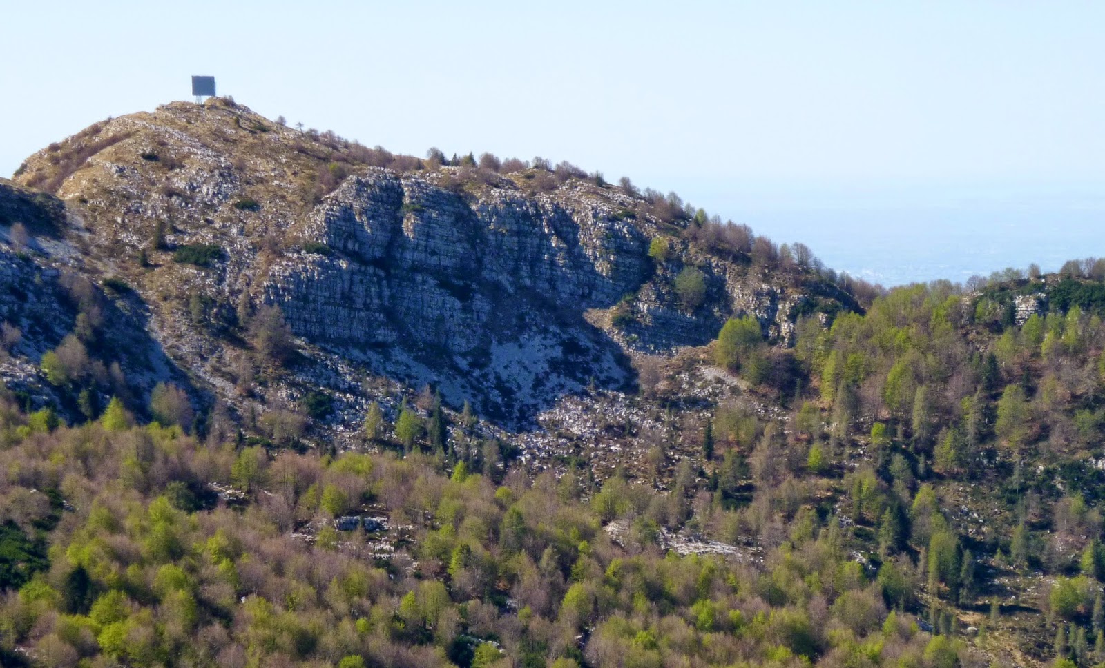
Monte Cavallo Gruppo from Passeggiata delle Malghe

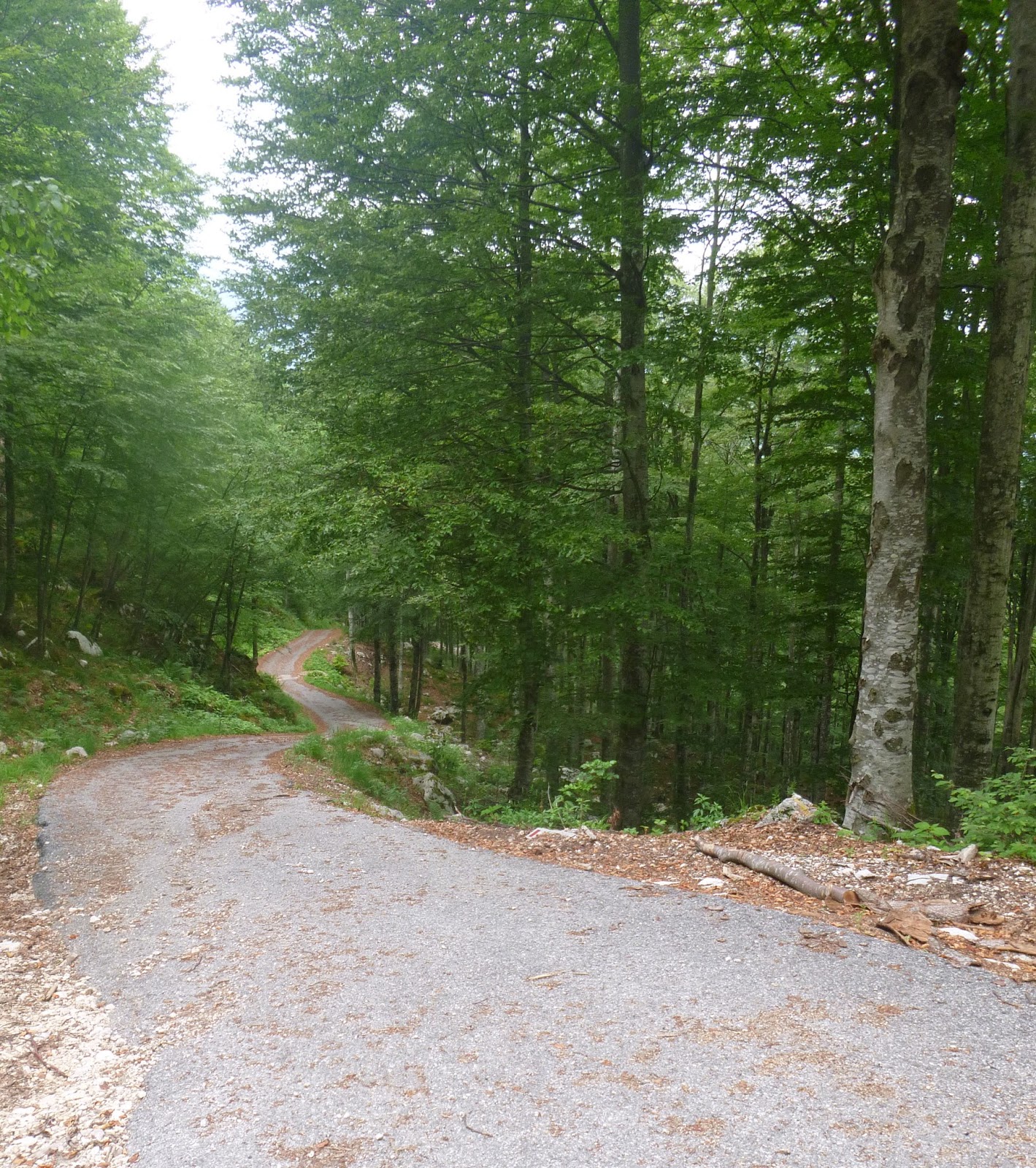
The footpath heading west

Ruin of ancient shepherd's hut; no mortar, just stacked rocks

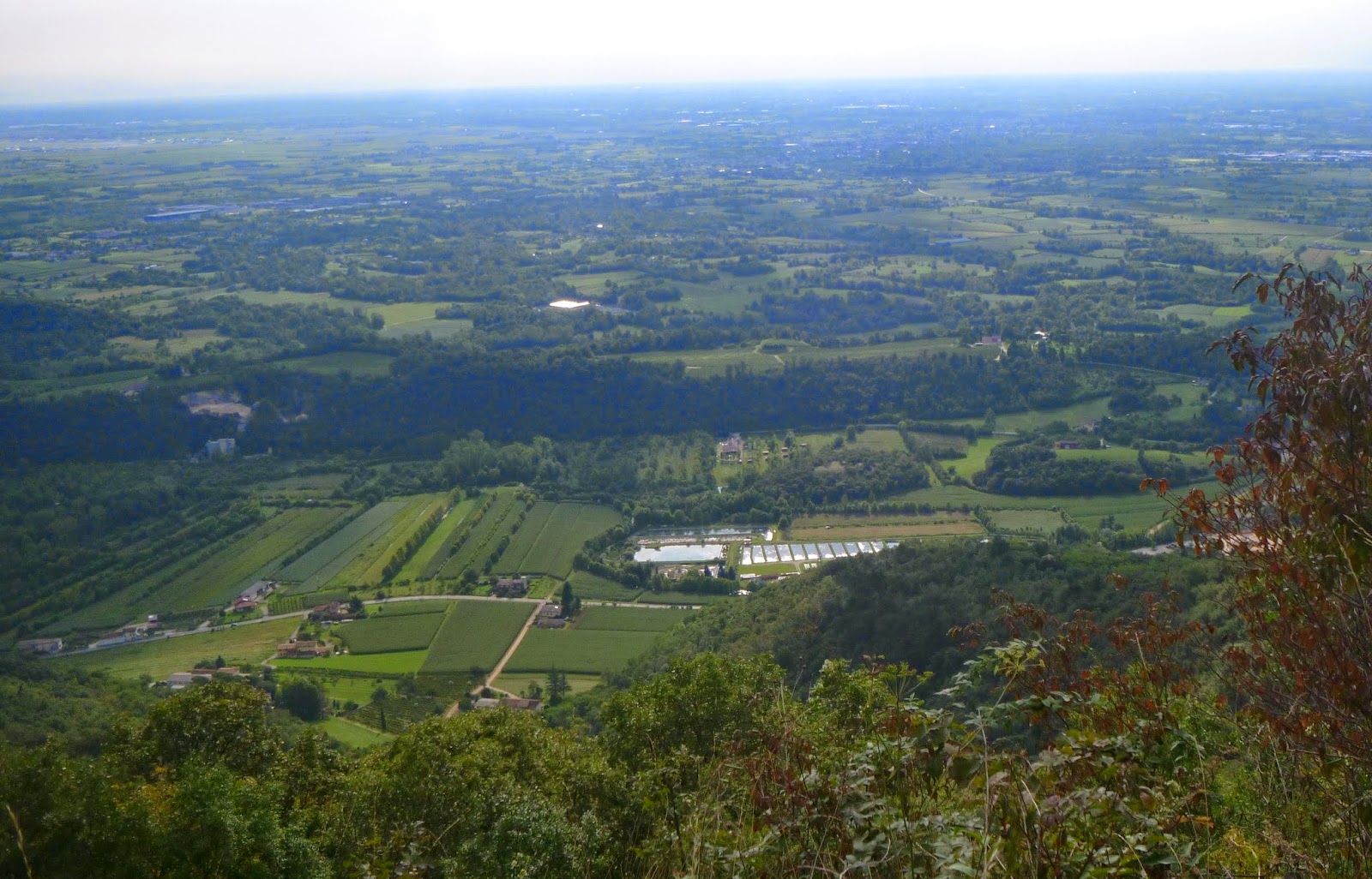
Looking back east at Casera Casserate

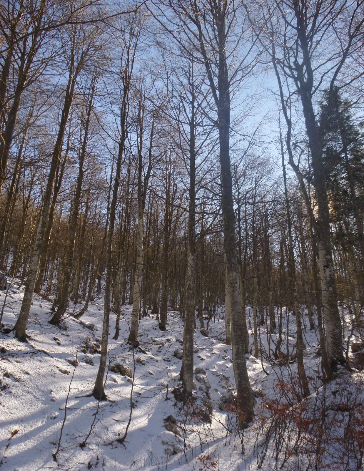
The second conch valley

The third and final conch

Road to Col Alto


Wednesday, January 28, 2015

Le Ronciade Hike


A cold but sunny, crystal clear day.   I intended to snowshoe this route, but the snow was only a couple of inches deep so I hiked instead.  From Col Alto I took the Ronciade trail to the east, where last February sled dogs were training with their musher.  The trail (a dirt road in summer) meanders through faggio forest until the junction south of Pian delle More.  Here I turned right and shortly afterward turned right again onto trail 985.  Another few hundred meters and I reached il incrocio di sentieri, where I turned right and continued on 985.  This trail rises until reaching a concrete road accessing the repeater towers above Giais.  If instead you descend on that road it carries you to Casera Valfredda, where I MTBed in October.  

I tried at first to continue on 985, but the sun-exposed section  of snow had repeatedly thawed and frozen into a downhill ice track.  I was certain to break my neck continuing that way, so I turned right and tried another wide trail, still covered with snow and heading uphill to the north.  This was excellent with 270 degree open panoramas.  At the top it died though, so I finally looked at my map and saw I had a 200-meter high slope to descend unless I turned around and retraced my steps.  I gingerly traversed back and forth down the snowy slope, using trees and boulders to keep from tumbling.  When nothing else was available I drove my trekking poles into the snow and grappled down.  Amazingly it worked.  Back on the level trail I went fast to make up time and soon arrived at the car.   


Faggio forest rising from the trail

Sun-lit beech trees


Pala Fontana (right); the reflector is visible from our rear window

Monte Ciastelat (left), Pala Fontana (right)

Looking up Valcellina at high northern peaks  

Close up of high northern peaks
Monte Cavallo Gruppo


Monte Cavallo Gruppo close-up


Monte Cavallo Gruppo close-up


Monte Cavallo Gruppo close-up


Wednesday, December 10, 2014

Casera Valfredda MTB

Beautiful cold clear weather has finally arrived.   I MTB'ed from Costa up through Rifugio Bornass to Castaldia, took the back road toward Col Alto till Candaglia and then turned onto the gravel road.  A little snow and ice but not bad.  I intended to continue to Forcella di Giais or Ronciade but ran out of time at Casera Valfredda (1385 meters).  I'll have to return and finish the loop later.  Many good trails in this area.


Monte Cavallo from Casera Valfredda

Panning out to show the area

Skirting around the left side of this hill (1500 meters high with
microwave relay towers)  you arrive near Forcella di Giais

Pretty little conch valley below Casera Valfredda

View east of Julian Alps near Slovenia


Friday, August 22, 2014

Lama di Som - Valle Friz MTB

I've ridden these two routes previously, but separately and in the opposite direction.  Weather looked promising this morning so I gave it a try.  I warmed up on Via Pedemontane to Coltura, near Polcenigo.   I turned north through town, then turned west on Via San Michele.  This street soon leaves town climbing, then turns to a dirt road.  It switchbacks back and forth, climbing all the way up to 612 meters near Lama di Som's pastures.  Here you turn right on the paved road and soon arrive at a left turn marked Malga Pizzoc.

This is a remote road in forest, with some steep sections concreted.  Eventually you reach a little house where you ride through the folks' front yard (marked Private Property) but they didn't mind, they were busy trying to herd their pugs, chihuahuas, and mixed breed cagnetti which were running everywhere.  Afterward at the junction you turn right toward Malga Pizzoc, and shortly after that Malga Brusada.

The road continues winding upward, sometimes concreted, to Malga Fossa di Sarone.  Here is beautiful open pastureland surrounded at a distance by forested mountains.  Higher still are Malga Folador, Casera Costa Cervera, and Casera Busa Bernart.  Eventually you leave this zone of dairies and cheese makers and arrive on the forested ridge.  About this time the cool clear weather turned into clouds and fog- quite chilly.  The road deteriorates into a stony, washed out forest road.  Before long you reach Col delle Palse where the paved road from Mezzomonte arrives.  

After the brief concrete and asphalt section near Col Grande (I had road biked it last week http://dolomiti-friulane.blogspot.it/2014/08/col-grande.html ) the road again turned bad.  There was a friendly group of horses walking alongside the road but they wisely used the only decent path, so I hopped off and churned through the rock pile awhile.  Eventually you reach Casera Valle Friz at 1520 meters and continue roughly until reaching the concrete road down to Casera Campo and Sauc.  The brief paved climb to Piancavallo was followed by a plummet down to Rifugio Bornass.  Somewhere before Madonna della Monte the sun came back out and it warmed up.   I was very tired and glad to get home.    


View of area west of Polcenigo: Palu di Livenza

Little valley between morainic hills and the mountains:
a characteristic of the Pedemontane

Horses feeding in pastures at Malga Brusada

Beautiful Malga Fossa di Sarone

Malga Fossa di Sarone dairy and pond

West of Col delle Palse; the channels dug into these steep slopes
let loggers slide tree trunks down to the valley
Further downhill, the road coming up from Cultura to Mezzomonte

Some of the very sweet horses foraging along the road near Col Grande.
I will remember to bring them an apple or carrot next time.