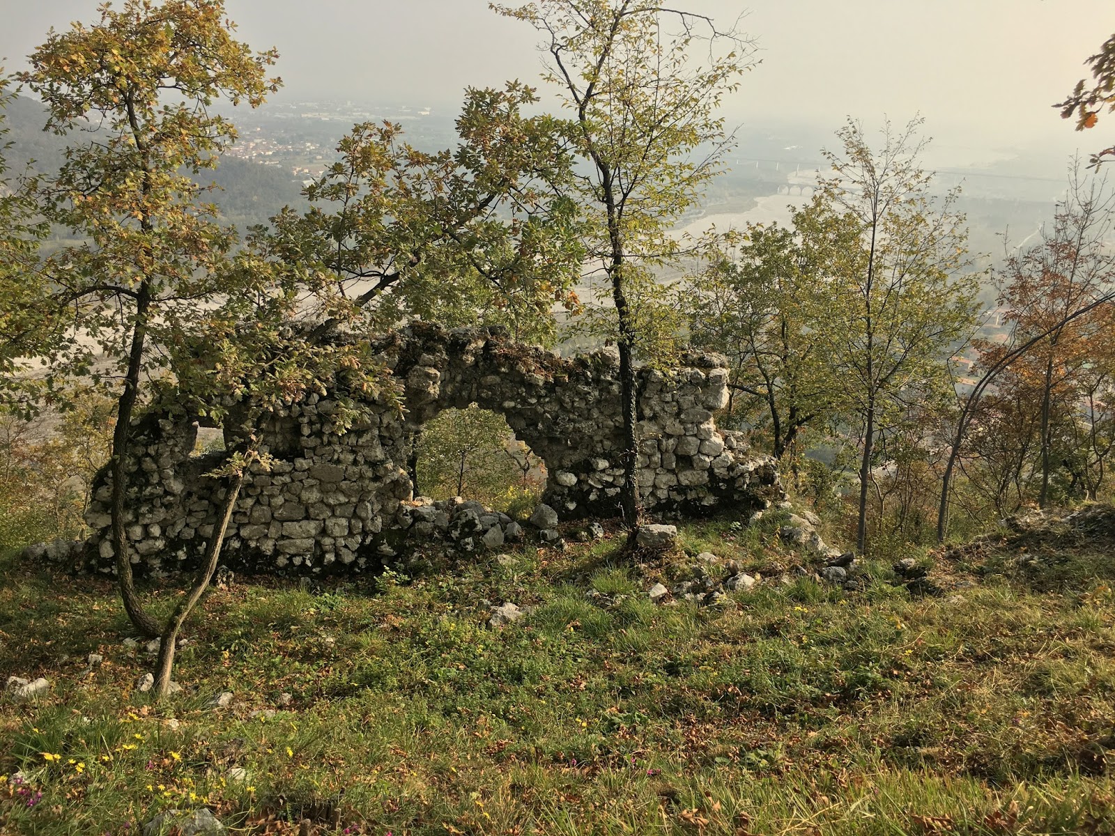
I was holding my own on the road bike until the junction with the dirt road from Rifugio La Pala at 766 meters, where I went into vapor lock. I was comfortably hyperventilating when a heard some noise high above, looked up and saw a large John Deere tractor braking down the grade with a trailer full of large faggio logs. So I'd unwittingly chosen a good spot for my crisis, as this tractor was as wide as the road (which has no shoulders, only immediate forested slopes).
Before long I was underway again and made it up to 927 meters, ending on a not too steep stretch of gravel road. I remembered from MTBing up here a few years ago it gets very steep and rough right after this.
The descent was dreamy if cold, even with full winter kit (except shoe covers). Must repeat in late Spring after snowmelt.
 |
| Reflective lake |
 |
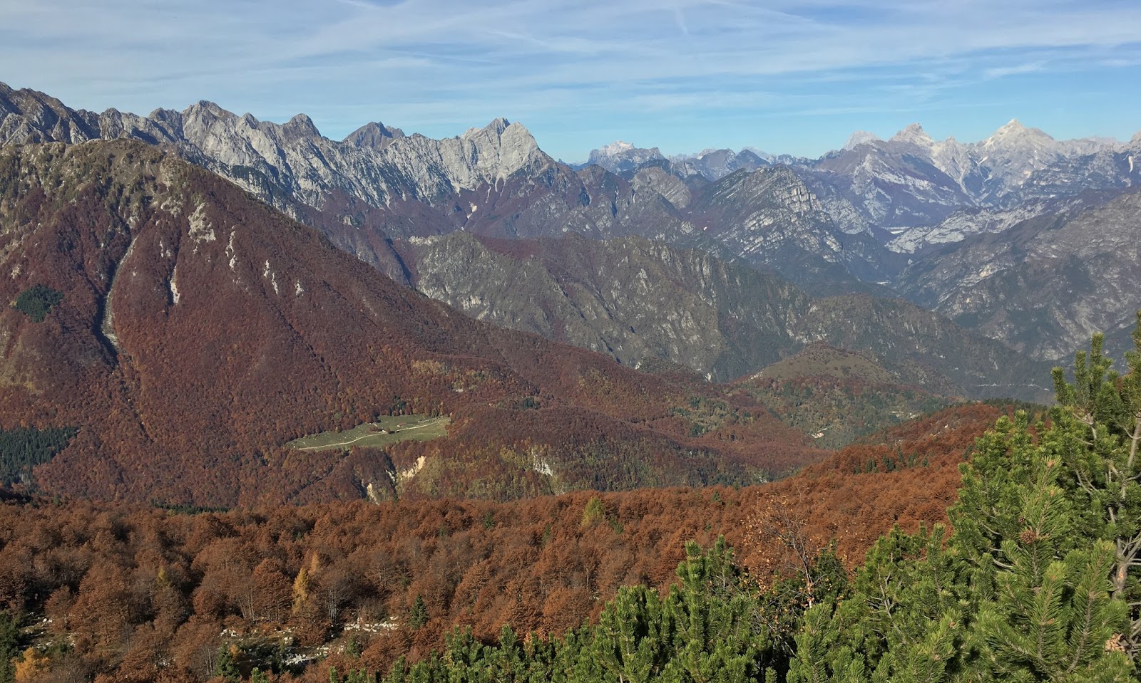
| View east |

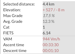 |
| The steepness |
 |
| First time on Michelin Power Endurance, great traction |