Showing posts with label Tolminske Ravne. Show all posts

Wednesday, September 17, 2014

Planina Razor MTB

Tolmin, Slovenia is starting point for 3 big climbs in Triglav National Park: Cadrg, Tolminske Ravne, and Planina Razor.  The last of these I climbed with my road bike a couple years ago, but couldn't complete the final 6.5 km with skinny tires.  Today the weather's beautiful, so it's time to try it with a MTB. 

I parked at Tolmin and rode briefly to Poljubinj (225 meters). The paved road up to Planina Stador (1040 meters) is a good workout with glorious views of the Soca River and lush green countryside.  After some climbing on dirt alternating with concrete  pavement, the road begins rolling along the contours of the  mountainside without gaining additional altitude.  At Planina Lom, a dairy where you can buy a meal, the road begins ascending in an area with open grassland.  This continues until Planina Razor (1310 meters), on steep grassy slopes ascending to rocky peaks.

I had read about a MTB trail descending to Tolminske Ravne, a pastural area visible far below.  The trail is marked Mulattiera (mule trail) and was beyond my MTB skills at first.  I was prudent and walked down the steepest, rockiest parts, and coasted with one foot unclipped on the iffy bits.   The rideable stretches eventually arrived more frequently and after awhile I was able to ride safely.  It later levels out, turning into a lovely forest trail.  Finally I reached the open grassland at Tolminske Ravne, and soon was descending the paved road along the gorge of the Zadlascica, then a brief climb up the other side of the gorge and an easy coast to Tolmin.  Fun!    


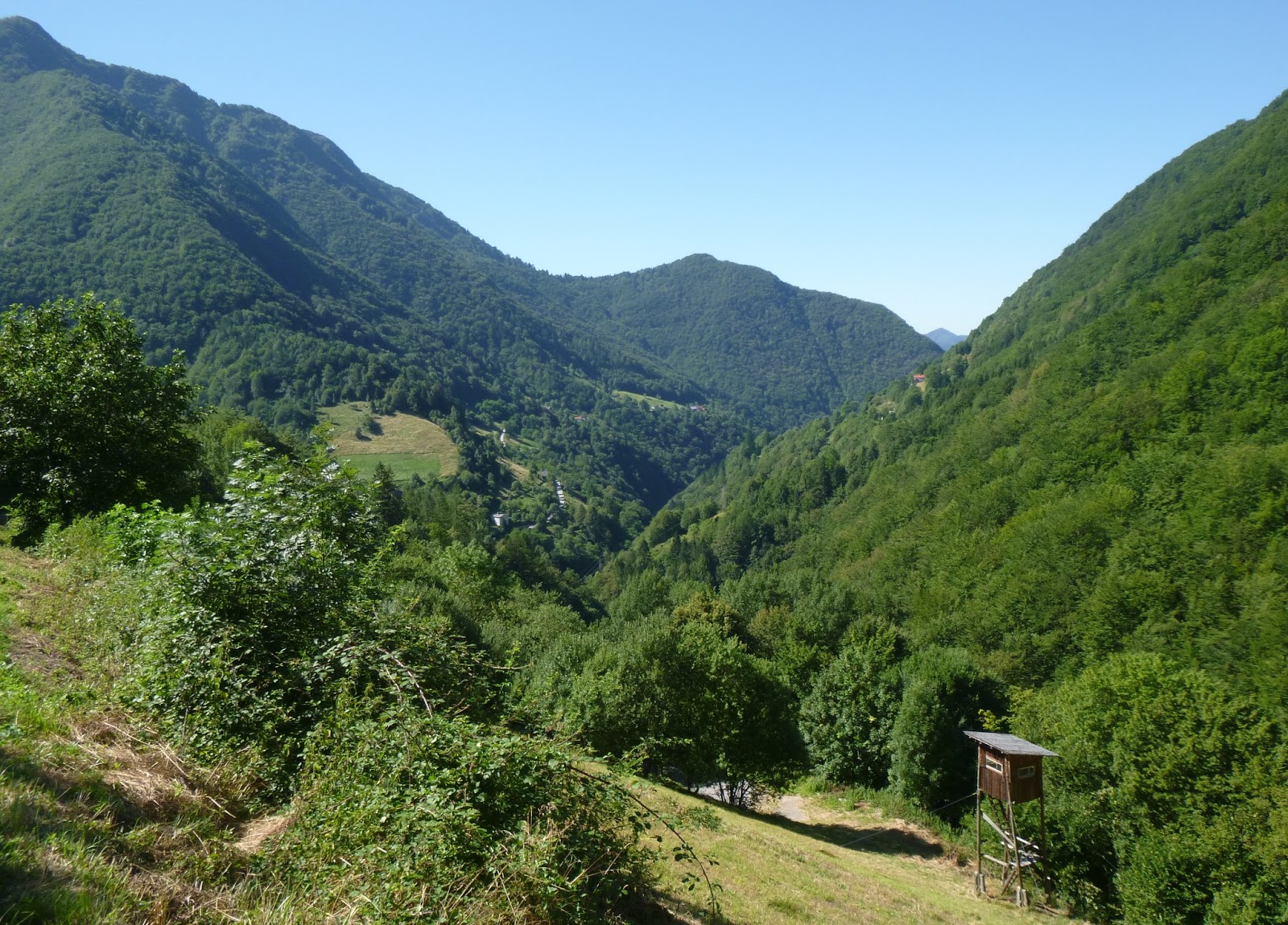
The view east from Planina Lom

The grassland zone between Planina Lom and Planina Razor

Far below to the west, Tolminske Ravne
in a grassy niche in the mountainside 

The gorge of Torrente Zadlascica, Kozlov Rob (hill where
 Grad Tolmin perches), and mountains to southwest

Planina Razor, with clouds hiding the mountain above

A fontana along the Mulatteria to Tolminske Ravne

I was so glad to arrive at Tolminske Ravne.  I survived!

Veliki Stador 

Tolminski Kuk, left

Vogel to the east

Look closely and you can see the dairy at Planina Razor


Friday, August 2, 2013

Tolminske Ravne

I drove to Kobarid, Slovenia, parked, then pedaled down the east bank of Soča River.  This is a quiet country road through a gorgeous river valley- one of the nicest leisurely bike rides I know of.  Eventually you approach Tolmin along the steep sides of Kozlov Rob, topped by Grad Tolmin castle ruins.  When you reach the main road, turn left and descend to the bridge across Tolminka River.  Immediately after climbing out of the gorge, turn left on road marked Žabče.  Be careful because if you miss it and take the next left you go up the wrong mountain, like I did last year Planina Razor.  Once you reach the little town of Žabče there is a sign directing you to go right toward Zadlaz.  This winds around along wooded hills till about 445 meters, where you begin descending steeply to a bridge across Zadlaščica River (370m).  Now you climb short switchbacks steeply out of the gorge, then the switch backs get longer (but just as steep: 5.7km averaging 9.2%).  This part of the ride is in dense forest, with some clearings where you can view the panorama. 

Eventually you arrive in a big meadowy area with a few houses, the town of Tolminske Ravne (920m).  Great views of the the surrounding big peaks.  There is a path leading to Planina Razor (1315m) which I hear is mountain bikeable.  Have to try that.  Descent was easy, then back down the beautiful east bank of Soča River.  Great ride.

Note: my Garmin's elevation read 50-60 meters low the whole ride- I needed to set it manually but forgot. 

Sveti Bric (Santa Brigitta) at Volarje

Close up Sveti Bric

Kozlov Rob (Billygoat Hill), topped by Grad Tolmin


Grušnica, from above Zadlaščica River

Javor (1361m); note road climbing to Tolminske Ravne

Zabijska Vrh (772m)

The valley and ascending road (looking back toward Tolmin)

Close up of ascending road (Tolmin church steeple in notch)

Hillside with haypole ( pre-hay roll method) 

Edge of town

Thatched-roofed stone house

 Grušnica (1570m), left; Bogatin (2008m), right

Bogatin (2008m), left; Tolminski Kuk (2085 m) middle;
Planina Razor meadows (1315m), right