
I've been looking for bike paths for my wife to ride on her hybrid, so thought I'd explore a couple in Valcellina I saw here: http://www.barcis.fvg.it/fileadmin/documenti/PistaCiclabileValcellina.pdf
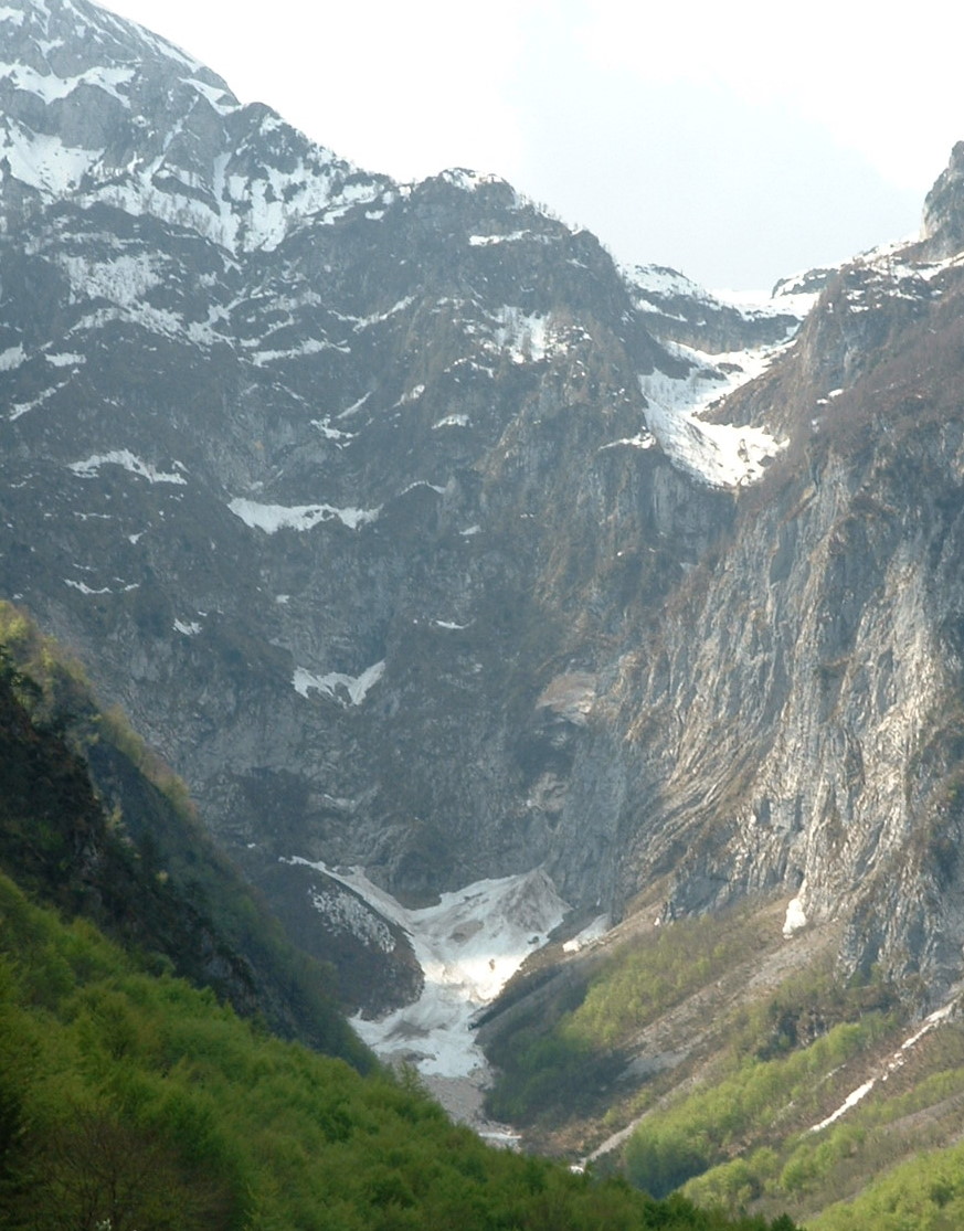
The first area I checked was below Lago di Barcis. Near Molassa, Fiume Cellina enters a deep narrow gorge only a few meters wide at points, where the rock has been carved into smooth round shapes by the rush of water (La Forra). Now there's a dam so the flow is reduced, but imagine a hundred years ago in Spring, how violent the turbulence would have been. Only a short portion of the original road has been made into a year-round pista ciclabile. The main portion down to Lago di Ravidis (near Montereale) is closed due to rock falls, except for August and weekends in September. I rode it once about ten years ago (tossing my bike over the fence then climbing over) but security has been tightened and I'm getting old. I'll try it again when it opens later this year.
So after completing this brief pista, I rode to Molassa, then up over Monte Dint. The views were gorgeous, and the ride was very pleasant, despite a stretch of 14% grade. I then took the road along the back shore of Lago di Barcis, past the turnoff to Piancavallo I climbed last week, to the suspension bridge across the upper end of the lake. Before I reached the bridge, a side road caught my eye, so I explored it. It passes through the Val Pentina, with beautiful wilderness scenery to the end of asfalto after several kilometers. I then rode back and crossed the suspension bridge.
Here I joined the main road toward Claut and Cimolais (see write up in February http://dolomiti-friulane.blogspot.com/2010/04/valcellina-passo-san-osvaldo.html ). The Cellina was full of snowmelt, a brilliant blue-green color. At Claut I looked for another pista ciclabile, which starts just past the bridge over the Torrente Settimana near the Palaghiaccio. It's a nice bike path, which heads up a slight grade through the pine-covered plain toward Cimolais. At one point it gets very steep- reading 19% on the Garmin. Then it rejoins the main road, which isn't heavily trafficked and has very smooth pavement (great for biking). At Cimolais I found the last pista- my favorite. It's through woods along the edge of the plain, almost level for several kilometers. Then it heads downhill to the mainroad junction to Claut and Cimolais. Maybe I'll bring my wife's bike up here in the car sometime so she can try it.
All downhill from there. A bit of headwind but counterbalanced by the downslope, so no problem. At Barcis the road levels out, but once you reach the 4 km tunnel it's downhill again with a tailwind from the ventilation system- feels like your flying.
An easy ride through spectacular scenery on a warm April day (didn't even put on the windjacket on the descent or in the tunnels). Best of all, Valcellina is only 4 or 5 km from my house.
Water-carved rock in the Forra


No comments:
Post a Comment
Note: Only a member of this blog may post a comment.