Thursday, October 19, 2017

Castello di Montereale MTB

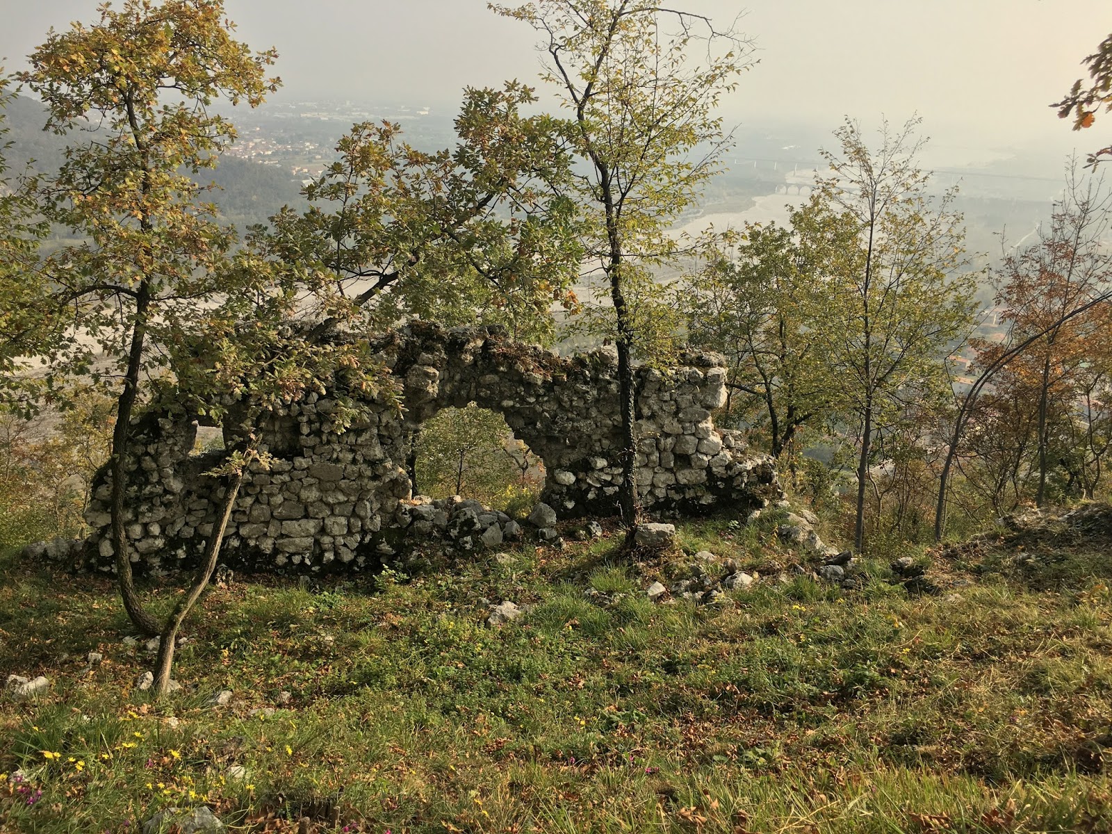
Another day of cross-training, this time on the MTB.  I rode to Montereale and just before the cemetery turned left onto the switchbacks up to the overlook at Diga di Ravedis.  From there I mostly pushed the bike up to the castello.m  Walked around and shot some pictures, then headed down toward the west.  Eventually I crossed over the top of the tunnel above Montereale, pushed up another steep stretch, then started riding to the junction with road toward Osservatorio Astronomico, then turned downhill toward Montereale.  This is a great short ride, and when I get acclimated to the MTB again I'll be able to ride more of it.  

Diga di Ravedis overlook

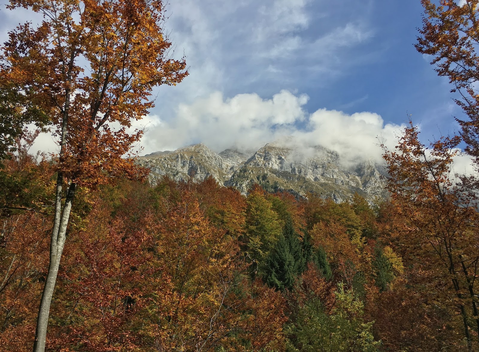
Colorful trees at castello

Lago di Ravedis from castello

Ruins with Monte Fara and Monte Raut backdrop

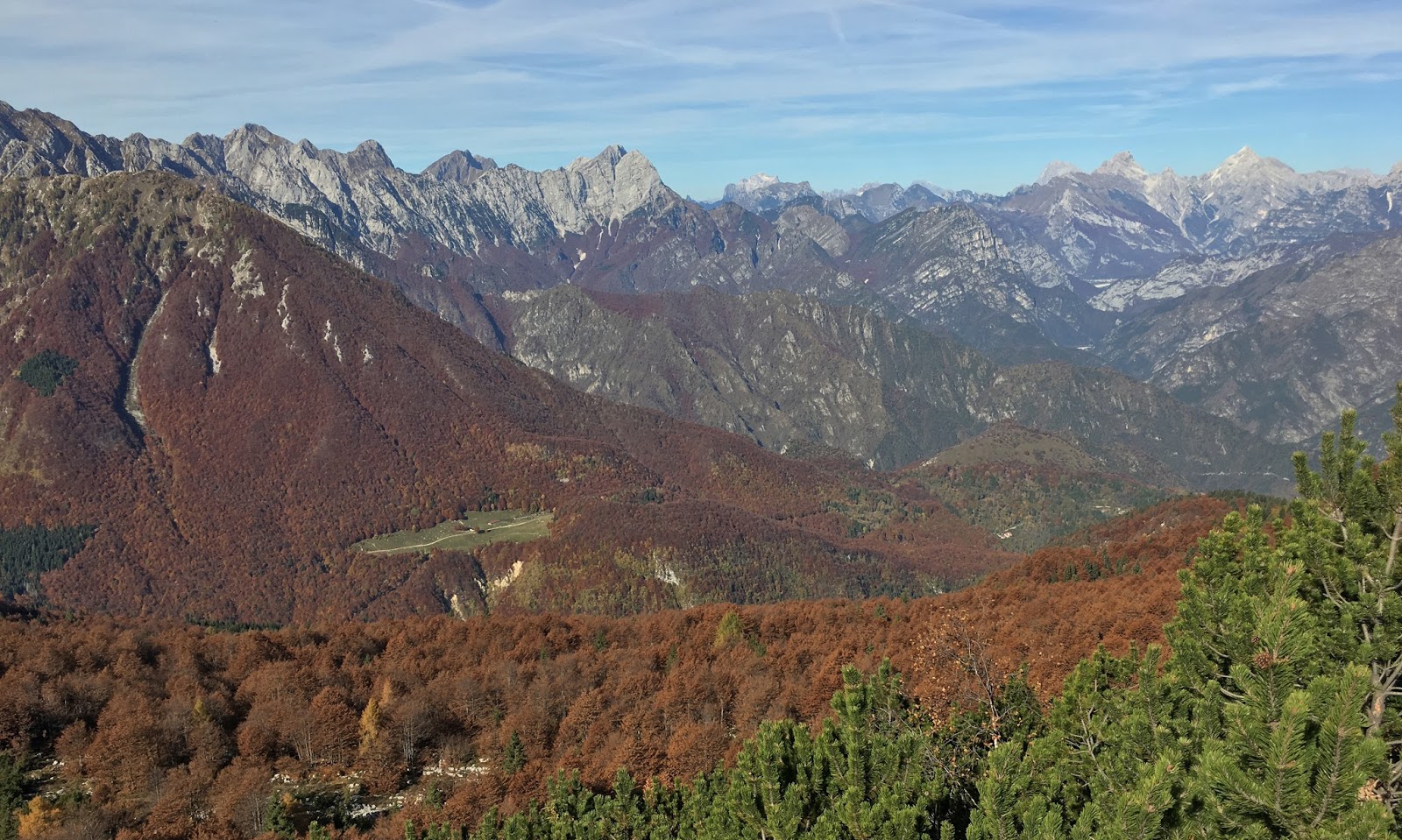
Trees with Monte Jouf backdrop

Ruins above the lake


Cannonball exit wound (?)  above Torrente Cellina


Tuesday, October 17, 2017

Monte Ciastelat-Pala Fontana Hike

A little cross-training today, trekking in the mountains above our village instead of pedaling.  I hiked from Pian delle More up through rocky Casera Dietro Ciastelat to Monte Ciastelat at 1641 meters.  This is a rocky knob with 360 degree views.     

Unlike my previous visit I decided to try going along the rim trail to Pala Fontana (1637 meters).  Great views along the ridgeline straight down to Giais where we live.  Descending from Pala Fontana  down to Forcella di Giais (1442 meters) was the trickest part because of the downhill steepness.  I used my trekking poles almost like crutches to keep my knees from hurting.  I was glad it worked. 

After the forcella it's flatter and you can make up time.  Beautiful hike on an unusually warm October day  Can't wait to go snowshoeing up here in a few months.

 
View north


Monte Ressetum to northeast


Torrente Cellina


Giais

Pala Fontana from the east


Stone circle livestock pastures at
Casera Dietro Castelat  


Note: the Garmin Oregon recorded 300 meters low today, so please ignore the altimetria figures.

Sunday, October 15, 2017

Vrsic

We're enjoying Indian Summer, or l'estate di San Martino as they call it here, so  I seized the opportunity to climb some passes along the Slovene border.  I started from Chiusaforte and climbed through Val Raccolana to Passo di Selle Nevea (1195 meters).  Startled to see a couple MTBing up this pass with their well-trained dog trotting alongside their bikes on a lead.

Now you descend steeply down to Lago del Predil then climb up to the Slovene border at Passo del Predil (1160 meters).  Some interesting fortresses here from the Austria vs Napoleon war in early 1800s.

After a long descent you end up at Kluze fortress from the same period, and finally the Soca River.  This begins the longest part of the ride: beautiful scenery with saliscendi stepwise rising to 600 meters.
It just seemed long because I kept anticipating the main event: the climb to Passo di Vrsic.  Eventually I reached the start of the pass, with a 49 tornanti sign.  Slovenia adds both sides of the pass together, so the climb from the south really had only 20 switchbacks or so.

After about 4 tornanti I pulled over, stripped off my long sleeve jersey and winter tights, then proceeded in bike shorts only.  Either that or heat stroke, I was in survival mode.  I managed to reach the pass without stopping at 1603 meters.  It was quite crowded with tourists taking advantage of the warm weather.  The descent was easier of course but quite torn up with construction.  This older road was built by Russian prisoners in WW I with cobblestone pavement.  Slovenia is preserving this history, which I admire and accept the added maintenance delays.

Finally I reached Kranskja Gora and turned toward Italy.  This is another interminable road which mercifully leads to the Alpe Adria bikeway at Tarvisio, built on the roadbed of a disused railway.  So wonderful riding with only other bikers and walkers away from the traffic.  This peaceful path continues to Pontebba and on to Grado on the Adriatico, but today I was tired and took a shortcut on SS13 after Ugovizza.  So relieved to reach the car again at Chiusaforte, stanco di morte.


View from Selle Nevea toward the north

From Sella Nevea looking south

Mangart from near Lago del Predil

Golden trees at Vrsic

Add caption


Vrsic climb


Friday, October 13, 2017

Degnona

Haven't been up here above San Martino in Alpago for 5 or 6 years.  In the past I went through here going to or from the long traverse to La Carota on the southeast flank of Monte Dolado.  Today though I wanted to explore the road above San Martino,which I'd summarily dismissed as too steep previously.  Well, it is steep but the views are so pretty the suffering is worthwhile.  The road to Degnona bears right while the road left heads toward La Carota.  

I meandered upward on this torturous path several hundred meters before my first stop, and after a rest I restarted, wobbled a ways and stopped again.  Three or four more times.  Finally pavement ended around 1100 meters so I could get off for good and take pictures.  Really wonderful climb.  I'll try not to neglect it so long next time.     

End of pavement at 1100 meters 

Monte Teverone, 2328 meters

Autumn foliage 

Pretty mountain house with Monte Dolado in background


Climb from Chies d'Alpago

The killer above San Martino.
Garmin says max 16%; I say 20.


Tuesday, October 10, 2017

Val Zemola

This is a gorgeous ride over Passo San Osvaldo, to Erto above Lago di Vajont, then steeply up Val Zemola.  It was not too bad of a surface even on a road bike, all the way to Casera Mela and a bit beyond.  Previously I'd MTB'd it and went further north toward Rifugio Maniago.  Wonderful scenery and good exercise in pristine air.  Love it.


Saturday, October 7, 2017

Poser Puner

I parked above Vittorio Veneto and rode through Revine Lago and Follina to the prosecco vineyards at Combai.  Here turn right toward Madean and Casera Budui.  The woods were filled with hunter gatherers stalking wild chestnuts which were raining down upon our heads.  Luckily I was helmeted.

Around 1000 meters the trees thin somewhat and you can see the sky.  Usually I quit at Casera Budui or take the paved traverse to Pianezze, but today I continued on a dirt road alternating with concrete to Rifugio Poser Puner.  Great views here over the ridge toward Dolomiti Bellunese and Feltrese.  Poser Puner itself is beautul rolling grassland with horseback riding and hiking.  Spectacular autumn ride. 

The trail winding on toward northwest 

Views from Poser Puner

View northeast


Laghi Revine rift valley

Horseback riders

Looking back at Poser Puner before diving into the forest


900 meter gain in 11 km; hardest
 part is the middle 5 km averaging 9.5%


Wednesday, October 4, 2017

Val Resia

It's been 5 years since I climbed Val Resia and I really have no excuse.  Maybe I was too busy trying to find new climbs instead of treasuring the wonderful ones we have right here in Friuli.  The road turns off from the Alpe Adria bike trail in the town of Resiutta. You ride alongside  Torrente Resia for quite awhile, eventually climbing high above it.  Before long you reach Stolvizza, then dive down through a stack of switchbacks to a river crossing, and then begins the main event: 4.5 km averaging over 11%. It's hard but they've paved the road better since I was last here, so less tendency for wheel slippage.  You still get a bit from fallen leaves but it's manageable.  At the end starts a walkway of riverstones embedded in cement, which I elected to skip.  Eventually I'll get up here on MTB.  While I rested a buck was bellowing to attract mates, a wild sound perfectly suited to this spectacular forest.
I'll be back before another 5 years next time.      

Torrente Resia

Beautiful panorama near Coritis


I was too knackered to climb up the riverocks

Gorgeous autumn colors