
After checking out the town I looked for the start of the Valle della Venzonassa climb. Turns out is on the north side of Torrente Venzonassa- just keep heading east and eventually you run into it. I was glad I had warmed up touristing around the town because the climb immediately steepens to 10%. Very quickly you leave all habitation and are in the wilderness. You are soon high above the river and surrounded by steep forested mountains.
The road is paved at first, then you dive down a steep side canyon, pass through an unlit tunnel with a pool of water at the low end- I hopped off and walked along the edge of it. After the tunnel the road becomes gravel with concrete on the steepest stretches. You continue climbing on this segment for 3.5 km, averaging 11.7% with max of 21%. After a little dwelling marked Borgo Prabunello you continue climbing a while longer and finally top out at 823 meters. Now you descend following the slope's contour through beautiful beech forest until you cross the stream at 605 meters, followed by gorgeous meadows at Plan di Frassin.
Now begins the toughest part. The gravel road up the south side slope has a bit of concrete at the switchback ends and a few other spots, but is usually very loose surface. In fact it reminded me of Il Grave above Giais, but much longer. From the stream crossing up to Forcella Tacia (1011 meters) you climb 3.4 km averaging 11.2% with a max 15.5%, but the loose surface makes it feel harder.
From the forcella descend steeply on concrete to Plan di Tapou, then on a closed asphalt road with many boulders, rock slides, slumps in pavement, etc. I was within reach of civilization, but the bridge across the stream at Ristorante alle Sorgenti is under repair, so I deviated to a switchback (on the road from Tarcento to Passo Tanamea). Easy downhill ride on paved roads through Val Torre to Tarcento, then back through Gemona to Venzone. Love to try this again, maybe continuing on foot to Cuel di Lanis (1629 meters). From there it's around 1000 meters vertical drop to Val Torre, and on a clear day I'm sure you can see the Adriatico, Trieste.
 |
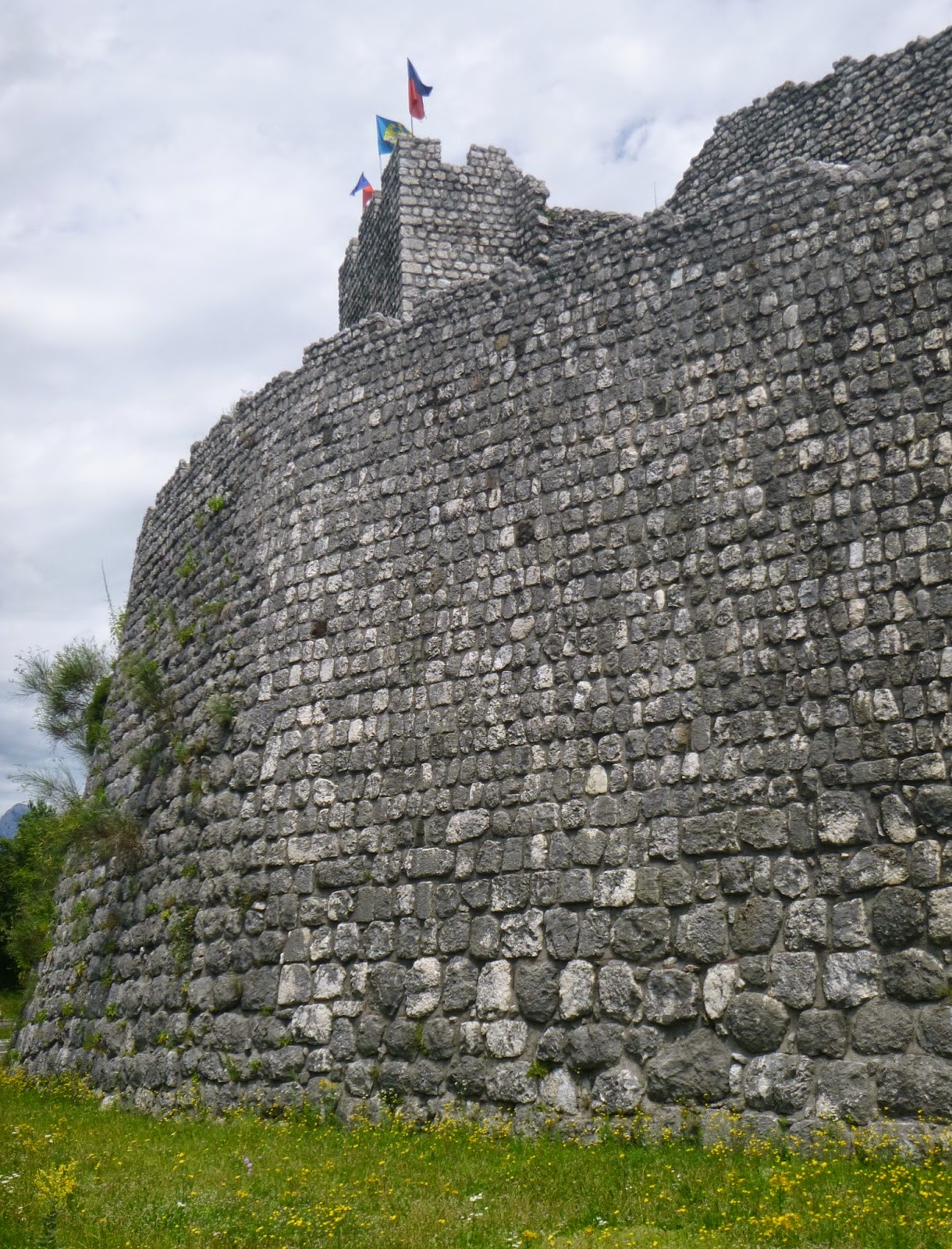
| East tower Venzone |
 |
| Empty moat, with crucifix |
 |
| Empty moat looking north |
 |
| West tower, Venzone |
 |
| The well-hidden start of climb |
 |
| View up the Venzonassa gorge |
 |
| The dirt road climbing upward from tunnel |
 |
| The dark tunnel. with pool |
 |
| Looking back toward west, showing road gradient |
 |
| Monte Chiampon (1709 m) from the north |
 |
| The peaks to the southeast |
 |
| Peaceful stream crossing at 650 meters |
 |
| Pretty Plan di Frassin |
 |
| I emerged from the wilderness onto this switchback on the road to Tarcento |
No comments:
Post a Comment
Note: Only a member of this blog may post a comment.