Wednesday, February 11, 2015

Colli Asolani - Montello

Always wanted to visit Asolo but never have gotten round to it.  So I took advantage of the clear cold weather today for a giro of Colli Asolani and the WW I battlefield Il Montello.  I drove to Nervesa della Battiglia on the Piave River and started toward Il Montello.  On impulse I turned right at the base of the climb onto the rolling panoramic road along Il Montello's northern flank.  This is one of the prettiest, gentlest bike rides anywhere.  

The road ends at Crocetta del Montello, where I asked some surveyors how to reach Cornuda.  There begins the northern route through Colli Asolani, a rolling mix of hills and valleys covered with vineyards.  Reminded me of Refrontolo.  Eventually I reached the north side of Asolo and climbed up.

Asolo is a gorgeous hill town.  I only saw a fraction of it and definitely will be going back.  I descended to the south, which is a much wider smoother road.  This main road continues through Maser to Crocetta del Montello, where I searched for the start of the dorsale road.  Instead I found Prese XX, which  climbs over the western end of the "hump" and comes back down to the plain on the other side.  Luckily though, it joined the dorsale (almost in Montebelluna) and I started climbing.  This dorsale is a fun ride, 15 km or so of continuous saliscendi, with 20 presi, military supply roads like ribs of  a backbone, descending at intervals steeply to north and south.  Shortly before Nervesa I inadvertently took one of these presi southward down to Giavera, where I joined the south-side perimeter road, meandering through flat fields and little towns.  Back in Nervesa I found the car by the Piave and headed home.  Must return soon.    


Locomotive from the war along Monfumo road

Castello di Monfumo, Monte Grappa in background

North gate into Asolo

Sottocastello in Asolo

Castle tower from the north

Palazzi below the big castle above town

Romanesque church in centro storico

The church tower seen from the east

The big castle above town 


Sunday, February 8, 2015

Pian del Cansiglio Snowshoeing

Drove to Pian del Cansiglio and hiked a loop.    First from the Veneto Agricoltura building up a snow-covered road to the left turn for Vallorch.  Instead of turning  I continued straight up the hill until entering the forest, then turned left on Anello del Cansiglio trail  Nice views of the snowy plain, the faggio forest, and snow-topped peaks to the north.  I eventually found a gap in the the electric fence and headed back toward the car.  The snowshoes worked great on the fluffy snow.  Found many more trails to try on future visits.


The view south with snowy Monte Pizzoc peaking over the hills

Vallorch farm buildings

Mountains north of Alpago

Cold War relic: an anti-aircraft missile battery from the 1960s

View up snowy creek bed toward western ridge

View from Anello del Cansiglio trail looking east


Saturday, February 7, 2015

Bornass Test Climb

I changed my click-clacking bottom bracket bearings and needed to do a climbing ops check.  So I rode down to Costa, up by Madonna delle Monte to Rifugio Bornass.  Beautiful clear day with no wind and just the right chill.  The bottom bracket is fixed!  Success!  

Made it up to 800 meters before the snowy road made me walk 

This trail connects to the area where I was snowshoeing the other day.

Snow-covered slopes above- will have to MTB up there this Spring


Note: the non-driveside Ultra-torque bearing does not contact the crank arm rubber seal as Campy states.  The first time I installed the bearing I continued tapping until it contacted the rubber seal, but the taper of the axle made the bearing very hard to turn.   I took a flat 10 km test ride and didn't detect increased resistance but the added force needed to turn the crank might make a difference on a very long ride or steep climb.  I pulled the crank arm back off and removed the bearing with Park puller.  The bearing felt fine after removal so I reinstalled it.  This time I didn't tap it down all they way till touching the rubber seal: left about a 1/16" gap.  The bearing turns smoothly and easily.  On my climb today it worked great.  So mind the gap!!  

Wednesday, February 4, 2015

Colle delle Lastre

A few more inches of snow on Monte Cavallo over the weekend, so thought I'd see if it's deep enough to snowshoe.  At first the trail was packed down so hiking boots were sufficient.  At the snow meadow I turned right onto Passeggiata delle Malghe and began climbing.  At Casera Casserate I noticed a footpath headed to the west up a little valley, and decided to try it.  After a few minutes the snow got deep enough, so I sat on the ruins of an ancient shepherd's hut and donned my snowshoes.

The trail now descends and climbs a series of consecutive conch valleys through Colle delle Lastre until finally reaching the paved road from Castaldia to Col Alto.  This road to Col Alto was snow-covered, but enough 4WDs have driven through to pack the snow, so I just hiked with boots.  Before long houses appeared and I reached the car.  Good workout through beautiful country.   

Monte Cavallo Gruppo from Passeggiata delle Malghe

The footpath heading west

Ruin of ancient shepherd's hut; no mortar, just stacked rocks

Looking back east at Casera Casserate

The second conch valley

The third and final conch

Road to Col Alto


Saturday, January 31, 2015

Ciclovia Alpe Adria

Ciclovia Alpe Adria is a bikeway running from Salzburg, Austria to Grado on the Adriatico.  I decided to ride the lower section of it today.  I planned on starting at Palmanova (a Renaissance fortress) but when I arrived it was raining so I continued further south until it was dry.   From Terzo d'Aquileia I rode down the smooth bike path to Aquileia, a Roman provincial capital from 2nd century AD.  Took a few pictures of the Roman forum  and the civil basilica  (a government meeting hall, later converted to a Christian church).  It has some of the best Roman pavement mosaics anywhere, but today I stayed outside.

From Aquileia the ciclovia continues south to the lagoon, a body of water between the mainland and the barrier island Grado.  The causeway across the lagoon has 2 smooth bike lanes separated from the busy highway, truly wonderful.  Once I arrived on the island I headed for the historic quarter.  There are archaeological digs here, including a late-Roman Christian church with sarcophagi.  Many working fishing boats were parked along the canals.

I headed back and soon regained Terzo d'Acquileia.  I'll try to return here this Spring with MTB to visit some of the birding areas along the Marano lagoon.      


Ruins of forum, center of town life.  The sculpted faces
were part of shrines to Roman gods

Some partially restored columns

Close up of original capitals

Entrance to basilica

Roman columns on the basilica grounds

The interior from the entrance: the pavementi are a must-see 

Romanesque campanile beside basilica 

Octagonal baptistry on left 

From the causeway bike path looking toward Trieste

The church at Grado

Another angle

Ruins of early Christian church at Grado;
 the rounded apse foundation

Unearthed sarcophagi: note the Celtic cross on right

Curious house dating from the early period

Looking east along Adriatico coast

The view west toward Lignano

This place reminded me of the French Quarter


Wednesday, January 28, 2015

Le Ronciade Hike


A cold but sunny, crystal clear day.   I intended to snowshoe this route, but the snow was only a couple of inches deep so I hiked instead.  From Col Alto I took the Ronciade trail to the east, where last February sled dogs were training with their musher.  The trail (a dirt road in summer) meanders through faggio forest until the junction south of Pian delle More.  Here I turned right and shortly afterward turned right again onto trail 985.  Another few hundred meters and I reached il incrocio di sentieri, where I turned right and continued on 985.  This trail rises until reaching a concrete road accessing the repeater towers above Giais.  If instead you descend on that road it carries you to Casera Valfredda, where I MTBed in October.  

I tried at first to continue on 985, but the sun-exposed section  of snow had repeatedly thawed and frozen into a downhill ice track.  I was certain to break my neck continuing that way, so I turned right and tried another wide trail, still covered with snow and heading uphill to the north.  This was excellent with 270 degree open panoramas.  At the top it died though, so I finally looked at my map and saw I had a 200-meter high slope to descend unless I turned around and retraced my steps.  I gingerly traversed back and forth down the snowy slope, using trees and boulders to keep from tumbling.  When nothing else was available I drove my trekking poles into the snow and grappled down.  Amazingly it worked.  Back on the level trail I went fast to make up time and soon arrived at the car.   


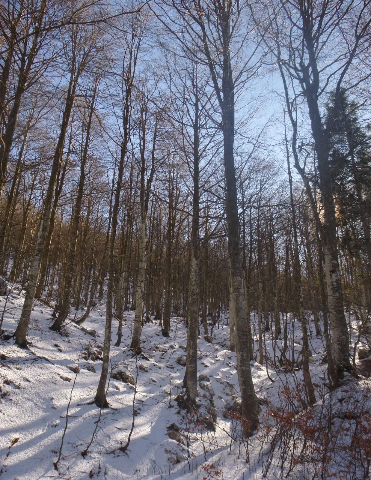
Faggio forest rising from the trail

Sun-lit beech trees


Pala Fontana (right); the reflector is visible from our rear window

Monte Ciastelat (left), Pala Fontana (right)

Looking up Valcellina at high northern peaks  

Close up of high northern peaks
Monte Cavallo Gruppo


Monte Cavallo Gruppo close-up


Monte Cavallo Gruppo close-up


Monte Cavallo Gruppo close-up


Monday, January 26, 2015

Val di Torrente Leale MTB

I drove to Alesso near Lago di Cavazzo and took off on my MTB.  The ride begins on the road to Val di Torrente Palar, which I explored last October.  Today after the steep initial climb to 520 meters I turned left onto a gravel road.  Great fun riding through the wilderness, level at first, then with many switchbacks.  Eventually I reached the first sign of civilization, Malga Amula at 750 meters.  No one there today but on weekends and in summer it's likely occupied.  

The road begins to saliscendi for a few km, dipping down to ford streams one after another until eventually I reached a much larger stream, Torrente Leale.  I forded it once, then again, and I think 2 or 3 more times before beginning to climb upward again near Malga Cuvii.  More switchbacks now ascending to 830 meters.  At a junction I could have turned right toward Malga Cuar but I was already fried.  I'll try that next time.  Today instead I continued mostly level, then descending to meet the paved road from Avasinis to Cuel di Forchia.  The paved road was fast and steep, and soon I was back at the car.  I will try next time from Cjanet or Monte Prat and try to reach the malgas up near the dorsal ridge connecting Monte Cuar and Monte Flagjel.

Stavoli di Forchia di Amula 

Malga Amula

The first ford across Torrente Leale

Monte Amariana 1905 meters

Monte Piombada 1744 meters