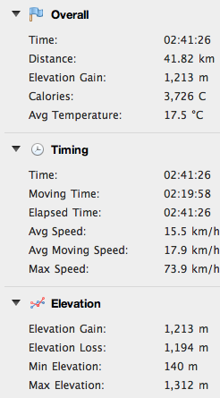
Just east of Udine, Monte Matajur straddles the Italy-Slovenia border. It is part of the Prealpi Giulie, which lie to the south of the higher Alpi Giulie peaks like Mangart and Triglav. Matajur stands out as the tallest of these prealps at 1641m (though the paved road I climbed today ends at 1320m).
To avoid the afternoon rain I left home at 6AM, and drove just east of Cividale to Ponte San Quirino. After an easy warm-up through beautiful Valli di Natisone to Savogna (212m), I climbed through dense beech forest to Ieronizza, and then Stermizza (691m). The trees shade this twisty narrow lane as it winds back and forth up switchbacks, continuing to Montemaggiore (945m). This is the first flat spot in 8 km, but don't get comfortable, because you're about to head upwards again.
This upper road is newer and wider, with very consistent gradient, so it feels easier. Or I may have been experiencing some kind of fatigue-induced euphoria- not sure. The landscape here changes to open alpine-meadow. At 1320 meters you reach Rifugio Pelizzo, which is a restaurant with lodging. There's also an astronomical observatory. Lots of hikers here, both Italian and Slovenian. The summit appeared to be socked in with dense clouds but the hikers weren't deterred.
I put on my windjacket and headed down. At Montemaggiore I turned left instead of returning through Ieronizza, and rode steeply down through Masseris. This road was a real delight- very well paved, steep with long straights, sweeping tornanti, and a double chicane thrown in just for fun. This descent alone makes the climb worthwhile- definitely will be returning!
On the way home I was starving so I stopped at Vogrig panificio and bought a focaccia for me and a gubana for Marilyn. Delicious!
 |
| The alpine landscape and cloudy summit |
 |
| Hazy view down Valli di Natisone |
 |
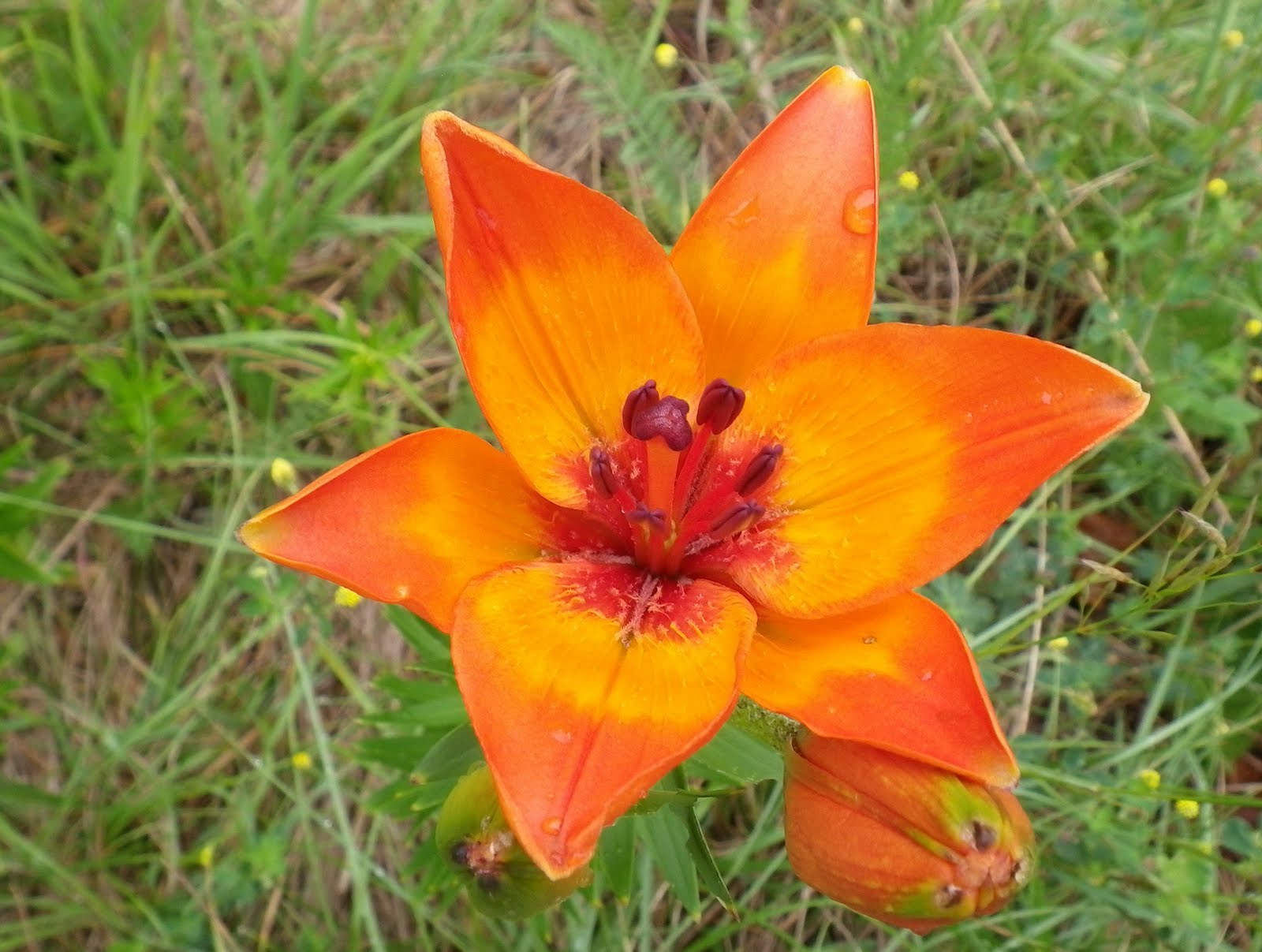
| Beautiful alpine wildflower |
 |
| Over 10% average gradient to Montemaggiore. |
 |
Steep spot above Montemaggiore. Ediciclo cites max gradients
of 17-18% and I'm inclined to believe them- they use an inclinometer,
while my Garmin only estimates gradient. |
 |
| Ascent on left, beginning of descent on right |
 |
| Wonderful fast descent- recommended! |


No comments:
Post a Comment
Note: Only a member of this blog may post a comment.