
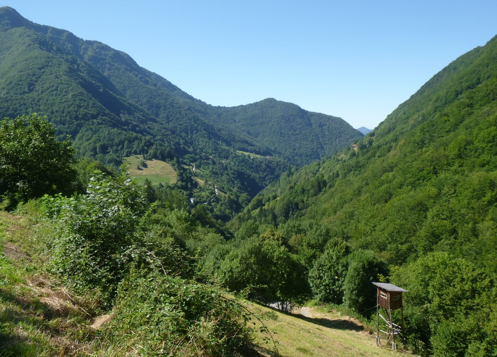
Eventually you arrive in a big meadowy area with a few houses, the town of Tolminske Ravne (920m). Great views of the the surrounding big peaks. There is a path leading to Planina Razor (1315m) which I hear is mountain bikeable. Have to try that. Descent was easy, then back down the beautiful east bank of Soča River. Great ride.
Note: my Garmin's elevation read 50-60 meters low the whole ride- I needed to set it manually but forgot.
 |
| Sveti Bric (Santa Brigitta) at Volarje |
 |
| Close up Sveti Bric |
 |
| Kozlov Rob (Billygoat Hill), topped by Grad Tolmin |
 |
Grušnica, from above Zadlaščica River |
 |
| Javor (1361m); note road climbing to Tolminske Ravne |
 |
| Zabijska Vrh (772m) |
 |
| The valley and ascending road (looking back toward Tolmin) |
 |
| Close up of ascending road (Tolmin church steeple in notch) |
 |
| Hillside with haypole ( pre-hay roll method) |
 |
| Edge of town |
 |
| Thatched-roofed stone house |
 |
| Grušnica (1570m), left; Bogatin (2008m), right |
 |
| Bogatin (2008m), left; Tolminski Kuk (2085 m) middle; Planina Razor meadows (1315m), right |
No comments:
Post a Comment
Note: Only a member of this blog may post a comment.