An overcast morning in Comeglians, with Monte Crostis wearing a corona of clouds high above. Not perfect, but maybe the clouds would keep the sun from baking me. I warmed up by heading away from Crostis, down the west bank of Torrente Degano to Ovaro, across the little dam, climbing up to the main road, and back to Comeglians at 532m). From here the real climb begins, easily for a km or so, then more intensely. Your surroundings for this climb are lovely- dense forest, views through the gaps of mountains to the west, and a series of villages far below in Val Degano. At 890m you reach Tualis, a pretty little town in a sunny spot on the mountainside. By this time two different ladies had each greeted me with "Bon di!" and then "Bravo!" Very friendly folks here.
After Tualis the traffic became practically nil. The climb continues through the forest up a long series of switchbacks. I passed a few mountain bikers, a young guy on a Scott bike passed me (later giving me my 3rd "Bravo" of the day when I arrived at the top). On one hard stretch I had wandered over across the center of the road when I saw a mountain biker descending slowly toward me. I apologized but he said "Vai tranquillo"- che simpatico. I was able to return the favor to another mountain biker struggling upslope and veering erratically, and like me he seemed happy that everyone was treating each other cordially.
This section of steep but shady slope, with nice switchback ends to rest in, comes to an end around 1500 meters, as the trees get smaller, more sun-exposed and the road starts following the contours of the steep mountainside. The worst section is a kilometer of over 13% average gradient at times hitting 18%, which had me gasping so hard a passerby would probably have forced me off the bike and started administering chest compressions. This wall of death mellowed some around 1800-1900 meters, and then you just keep going on fumes until the top, at 1934m.
The environment here is grass- and wildflower-covered rocky hills. To your right the meadows descend very steeply. I was quite chilly and donned my windjacket. Now you begin the strada sterrata known as Panoramica delle Vette. It traverses the mountainside for several kilometers toward the east, with great views (on a clear day) and a close-up experience of wild alpine terrain. I hit a pointy rock apparently, which cut a hole through my sidewall. I tried booting it with a bit of plastic, but it was useless- the tube stuck out through the hole like a bulging aneurysm. Nothing to do but press on and hope it would last a few km.
While I was changing the tube some tourists were animatedly talking and pointing toward some marmots downslope a bit. It was good to see them still around since the improvement of the road for Giro d'Italia last year. I was concerned the increased traffic would drive them away.
I finally reached the resumption of asphalt above Ravescletto (1871m). The descent has been vastly improved by the 2011 Giro preparations- there are barriers along the steep drop-offs, they've repaved the worst stretches, etc. I descended cautiously, not using my rear brake to prevent heating the rim and tube. At Ravascletto (958m) you join the wide, smooth main road, which has some great sweeping curves, still fun despite my one brake handicap.
I may try this next month in the opposite direction- when I ascended it last in 2010 the road coming up from Ravascletto was a deteriorating mountain lane- much better now.
 |
| Looking back at end of climb (1934m) from Panoramica delle Vette |
 |
| Bright green lichens on their rock |
 |
| Monte Crostis summit (2251m) |
 |
| Looking down at the twisty descent |
 |
| A hole in the cloud cover illuminates the slopes |
 |
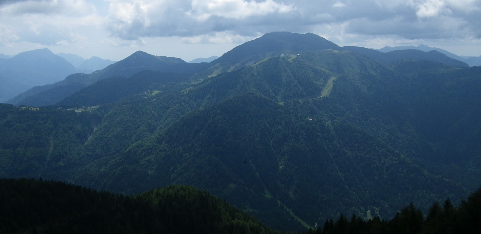
| Monte Zoncolan ski area across Sella Valcalda |
 |
| Circuit ridden clockwise |
 |
| The climb |
 |
| Panoramica delle Vette |
 |
| Descent (on the right) |
 |
| 12.7km of 10.8% average gradient |
 |
| The above-10% grades |


No comments:
Post a Comment
Note: Only a member of this blog may post a comment.