Thursday, July 19, 2012

Passo di Stelvio da Prato

This legendary climb speaks for itself:
- punto di partenza: Prato allo Stelvio, 950mt
- lunghezza: 24.3 km
- pass altitude: 2758 mt
- dislivello: 1808 mt
- pendenza media: 7.4%
- 47 tornanti


I left home at 0330 and arrived about 0800.  I spent 10 minutes looking for parking in Prato but it's all either pay-to-park (100 minutes max) or marked for clients only.  So I drove out of town and found a free spot along the climb.  I warmed up on the easier 5%-7% beginning stretch of the climb.  After the first 10 km it starts getting a bit steeper.  I remained seated except to stretch, and on the brief steeper parts.  The climb is long but not super-difficult, so don't be intimidated.  Today was especially nice; though there was full sun, the cool air compensated and I never felt too hot.  Traffic wasn't too bad on the early climb but quite busy when I descended- probably best to get started 0600-0700 so the traffic isn't too heavy on the descent. 
By the time I descended there were tons of cyclists climbing up: lots of ladies, older folks, even a couple of kids on small race bikes with 24" wheels.  Much different than the riders I usually encounter climbing around Friuli.

The most striking aspect was the natural beauty of this climb- whitewater, wildflowers, spruce forests, snow-capped peaks, even a very cool glacier.  I definitely want to ride it again  and explore the environs more. Upper Sud Tiröl is surely one of the most spectacular areas in Italy.

Roiling Rio Solda along the early kilometers of the climb

Wonderful view of Trafoi (1540m) church and surroundings

A very nice German man asked if I wanted a foto taken;
sorry as always for the helmet hair

View of the upper stack of switchbacks

A different angle

Awesome glacier "flowing" down slopes near Passo di Stelvio

Close up: note the dark grey "rock meal" covering most of the glacier surface

Glacier overshadowed by beautiful wildflowers

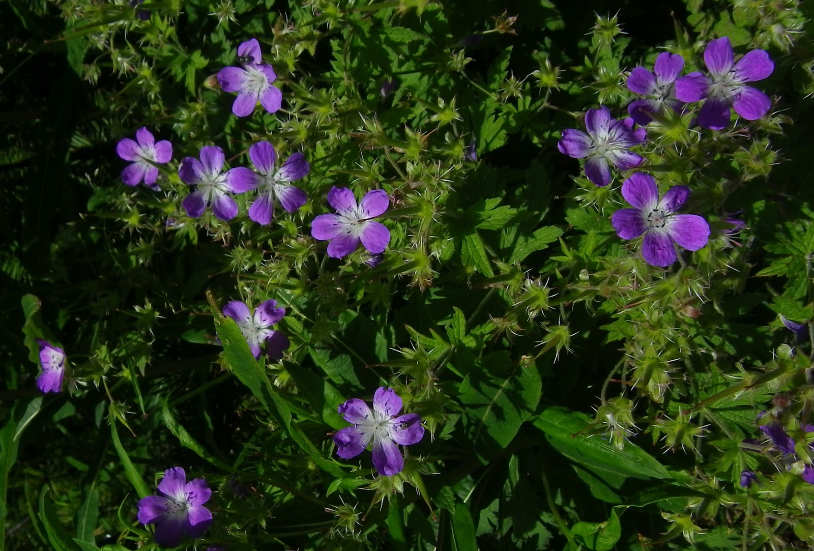
More wildflowers

Yet more wildflowers

Mountain biker scaling a switchback

Rio Solda with driftwood and whitewater  


Starting warm-up and the first tornanti

The tornanti higher up

Last 14km average 8.6% gradient

Monday, July 16, 2012

Planina Lom da Tolmin

Soča River valley in Slovenia is one of the most beautiful places I've ever been.  Broad green pastures, a turquoise river, flanked on both sides by steep spruce-covered slopes.  Here and there you find a small town, or a church with ornate copper steeple.   Numerous climbs scale the surrounding mountains, with magnificent panoramas of the landscape.  And it's easily accessible from Italy via Val Natisone.

I parked at Ponte di San Quirino below San Pietro di Natisone, and then warmed up by riding to Kobarid.  From here I followed the Soča down to Tolmin, and crossed through the town.  I intended to climb Tolminske Ravne but couldn't find the road (turns out you must follow the signs for Žabče).  So I saw another name I recognized and tried that- Poljubinj to Plainina Razor.  The climb is mostly tree-shaded, starting easy at 225m up to meadowy Ljubinj (390m), gradually getting steeper.  It averages 8-9% on the 8km from Ljubinj up to end of asphalt at Plainina Stador (1040m).   The dirt road isn't bad, though it was a little muddy after the 4 straight days of rain we've had.  The grade is easier (2-3%) till Plainina Lom (1060m), a pasture with a couple of huts/small houses with cows mulling about.  I turned around here, though the road actually continues, steeply up concrete ramps and on dirt roads for 6 more kilometers until 1315m at Plainina Razor.  The Ediciclo guide says you need a mountain bike.  Maybe I'll try it next time.  


Kamno from the road along the Soča River

Soča flowing downstream from Tolmin bridge

Kolovrat from Tolmin bridge

Rocky peaks to east

Tolmin looking back up Soča valley

Meadows and villages to the south

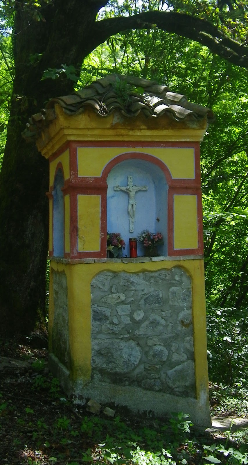
Capitello along the road to Ljubinj

Close up peak to east

This area is part of Triglav National Park 

Another shot of the tall rocky peaks to the east 

Most na Soči to the southeast

Village and meadows above Ljubinj


Close up of climb

Thursday, July 12, 2012

Monte Dolada, La Carota-San Martino sterrata

Monte Dolada is a sort of benchmark for me.  The first time I tried it a couple years ago I couldn't do it- had to stop, rest and hyperventilate several times.  Then last year I did a little better but remember struggling badly.   Today wasn't easy but I never felt overwhelmed, just kept gasping  and grappling away till the top.  

I arrived at Vittorio Veneto early (0630) and started the warm up to Sella di Fadalto.  Quite windy and cool- some windsurfers with parasail kites were hydrofoiling across Lago Morto- they must have been freezing.  Then around the west side of Lago di Santa Croce, past La Secca, take the right turn toward Tignes.  From here steeply upward to Pieve d'Alpago, and higher still to Plois (850m).   Now you head up a narrow farm road through the meadows with a half km of 15% average gradient.  Finally it levels out briefly at La Carota rifugio (1025m) and you can catch your breath while rolling toward the next challenge, a series of long steep switchbacks, the steepest being 1.5 km averaging 13.8%, with no chance to catch your breath.  The agony ends at 1494m, a parking lot for Rifugio Dolomieu.

I rolled back down, bunny hopping drainage channels every 20 meters it seemed.  When I reached the level spot near La Carota on a whim I headed down the backroad toward San Martino.  I had attempted this from the opposite end last year but flatted on the rocks and with no 2nd spare, gave up.  The ride from this end was considerably easier, with even a paved stretch at each end, and also briefly in the middle where it ascends a short wall.  It is also generally downhill in this direction (except for the wall).  It crosses a little bridge over the gorge of Torrente Tesa, which separates Pieve d'Alpago to the west from Chies d'Alpago in the east, then eventually becomes a paved farm road which descends to San Martino (866m).

Fun curvy descent through Lamosano and Cornei to Puos d'Alpago.  Great ride, though I wouldn't advise doing the road from La Carota to San Martino with 23mm slicks- something wider and knobbier would be better.


Early morning Lago di Santa Croce with Monte Dolada in background  

Closer shot of lago and Monte Dolada

Campanile of Pieve d'Alpago, with lago and Col Visentin in background

Lago from Rifugio Dolomieu.  See fungus on tree branches to right-
looks like Spanish Moss in Alabama, but with smaller tufts

Bowl shaped conch of Alpago, looking east

Close up of Alpago villages, meadows, forests 

Monte Teverone (2436m)

Monte Dolada's rocky cliffs, upper left

Cliffs of Montagna del Vescovo

Monte Teverone from near San Martino

Lago and Col Visentin from near San Martino


Rode clockwise

Monte Dolada climb on left, La Carota-San Martino sterrata center 


Monday, July 9, 2012

Pale di San Martino Loop

Pale di San Martino (2982m) first caught my eye while descending Passo Duron toward Agordo last year.  With its spires and towers and sheer cliffs it seemed like a craggy castle from Lord of the Rings floating in the sky above Agordo.  Then I read several accounts of rides around the Pale, similar to Sella Ronda's circling around Gruppo Sella.  When I looked closer at the climbs I realized riding it clockwise would be easier than counterclockwise, so I chose the easy route.

I started by warming up from Cencenighe (774m) toward Agordo.  The long busy Listolade tunnel is on the route, but they've retained the original road along the river bypassing the tunnel (just watch for falling rocks).  At Agordo (611m) turn right toward Passo Cereda.  You're going to Forcella Aurine first, but the 2 passes are close together, like Falzarego and Valparola, so they just list one.  The climb is very gentle and an excellent warm up.  Gorgeous views of little villages with flowers in window boxes, rolling green meadows, and towers of the Pale high above.  Clouds were already forming around the peaks so didn't get many pictures.

After Forcella Aurine (1299m) you descend briefly and continue along false flats to the start of the climb to Passo Cereda.  This one was a bit steeper, but still not bad.  After the pass (1369m)  a steep curvy descent toward Fiera di Primiero, with great panoramas of Vetta Feltrine across the valley.

At Fiera di Primiero (716m) turn right toward Passo Rolle.  This was the longest continuous climb I recall ever doing- 22km.  The gradient is easy (averaging 5.6%) but the unending effort is quite tiring.  Traffic was pretty heavy until San Martino di Castrozza (1452m), but luckily most people stay in these tourist centers, leaving the mountain roads to the rest of us.  I had a flat tire here, which was both annoying and restful at the same time.  Around 1800m the beautiful spruce forest thins out and soon you're climbing a stack of switchbacks up a grassy bald (1973m).  Wanted to take a foto of the Swiss  cows (with bells) munching on the grass and multicolored wildflowers but worried I would spook the cows being so close.

Great looping switchback descent, soon returning to spruce forest with white water streams.  Take another right at the Passo Valles sign (1552m) and begin a gradual climb through wonderful Parco Paneveggio (see http://www.parcopan.org/it/gallery.html) .  This would be a great place to picnic, walk along white water streams, etc.  After 3 peaceful km the inevitable steepness begins, never extreme but much 9-12%.  Again you exit the forest and enter the treeless pass area, topping out at 2033m.  Now begins the long descent, first steep and fast (85kph) to the junction with San Pellegrino climb, then down to Falcade and eventually Cencenighe.  There's another long fairly busy tunnel (galleria le Anime) just above Cencenighe, but I used the old road bypass along Torrente Cordevole, like last year.  It also has a shorter, carless tunnel, which they've now installed lights in for hikers, bikers.  This is great because last year I was terrified riding through the blackness here (you couldn't see daylight from the tunnel entrance or exit because of curves).

Great ride, though tiring.  Now I've got to build the endurance to climb it counterclockwise.    


Farmhouse on road to Forcella Aurine,
with Pale di San Martino above

Vetta Feltrine (2334m) mountain range above Fiera di Primiero

Southern end of Pale di San Martino above Passo Cereda

Grassy bald of Passo Rolle

Shrinking glaciers of Pale di San Martino, smaller every year for decades.
Continued global warming will likely eradicate them soon.

Torrente Travignolo in Parco Paneveggio

Cloudy spires of the Pale from Falcade