Saturday, May 31, 2014

La Vedetta da Possagno

Strada degli Alpini from Possagno is often called the toughest climb up Monte Grappa.  I've tried the other 3 eastern routes, so this one was next.  I warmed up from Pederobba, through Cavaso del Tomba and into Possagno (265m).  I turned right at the sign and headed up.  Not bad at first, 9-10%.  Then steeper and steeper.  I was doing pretty well until about 800 meters and the 18-22% stretches sent me into crisis.  I hung my head over the bars awhile and hyperventilated.  I walked some.  I rode a little.  Somehow I made it to the junction with the Passo del Tomba to Monte Grappa ridge road at 1067 meters.

I decided to keep going.  I've ridden this ridge road 3 times before and knew it was hard, but I'd survived it previously after hard climbs from Alano di Pieve and Cavaso del Tomba so thought I could do it.  Very slow grinding but I made it up the switchbacks and finally to La Vedetta dell'Archeson at 1469 meters.  Then I headed rack down.  Fun descent with lots of riders ascending from Passo del Tomba.  Then the plummet down to Possagno with hands cramped from clutching the brakes so long.  Saw only one rider on this stretch- he looked tired and was just getting started.

I will try this again someday on my mountain bike.  There are some interesting trails winding around the grassy slopes of Monte Archeson I'd love to explore.  


Turn right here at Possagno

Take this left 

Again take a left 

Don't turn left before this house, wait till after the danger sign

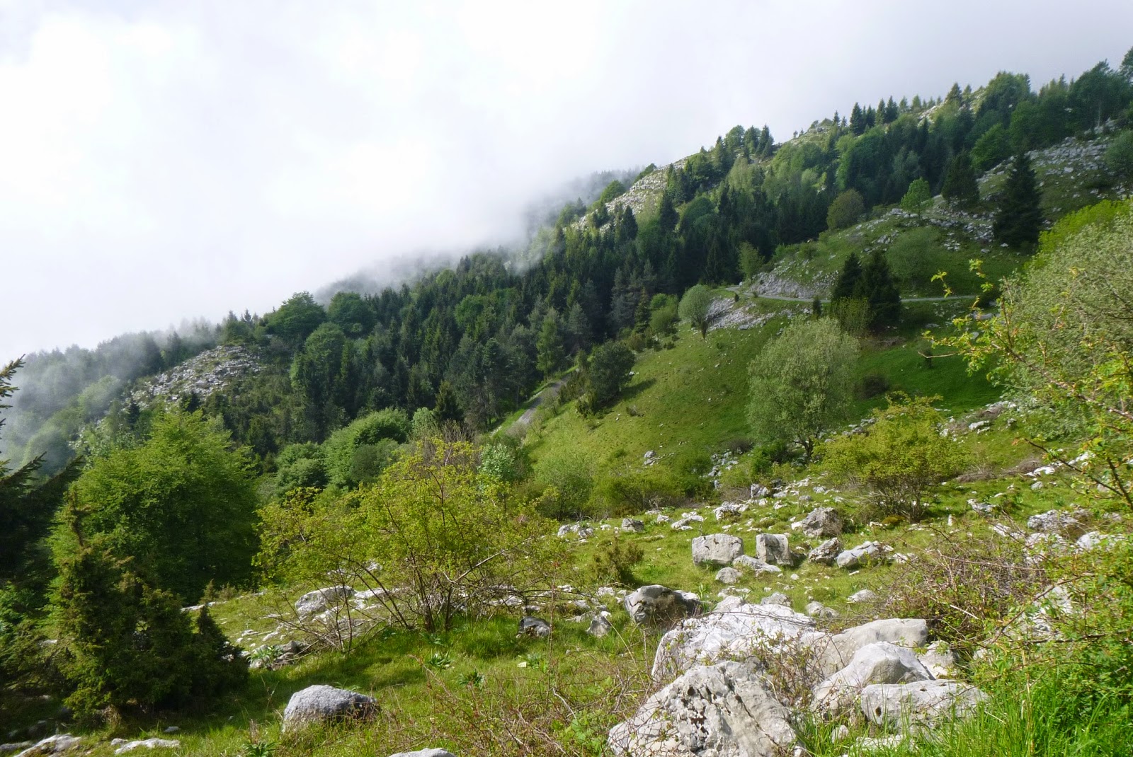
Asolo hills from 800-900 meters (while I was recovering)
Just below the junction with the ridge road
Turn left toward Cima del Grappa

Famous goat at the junction with Paderno del Grappa climb

Cima del Grappa (1732 m) site of Friday's cronoscalata finish

La Vedetta dell'Archeson chapel

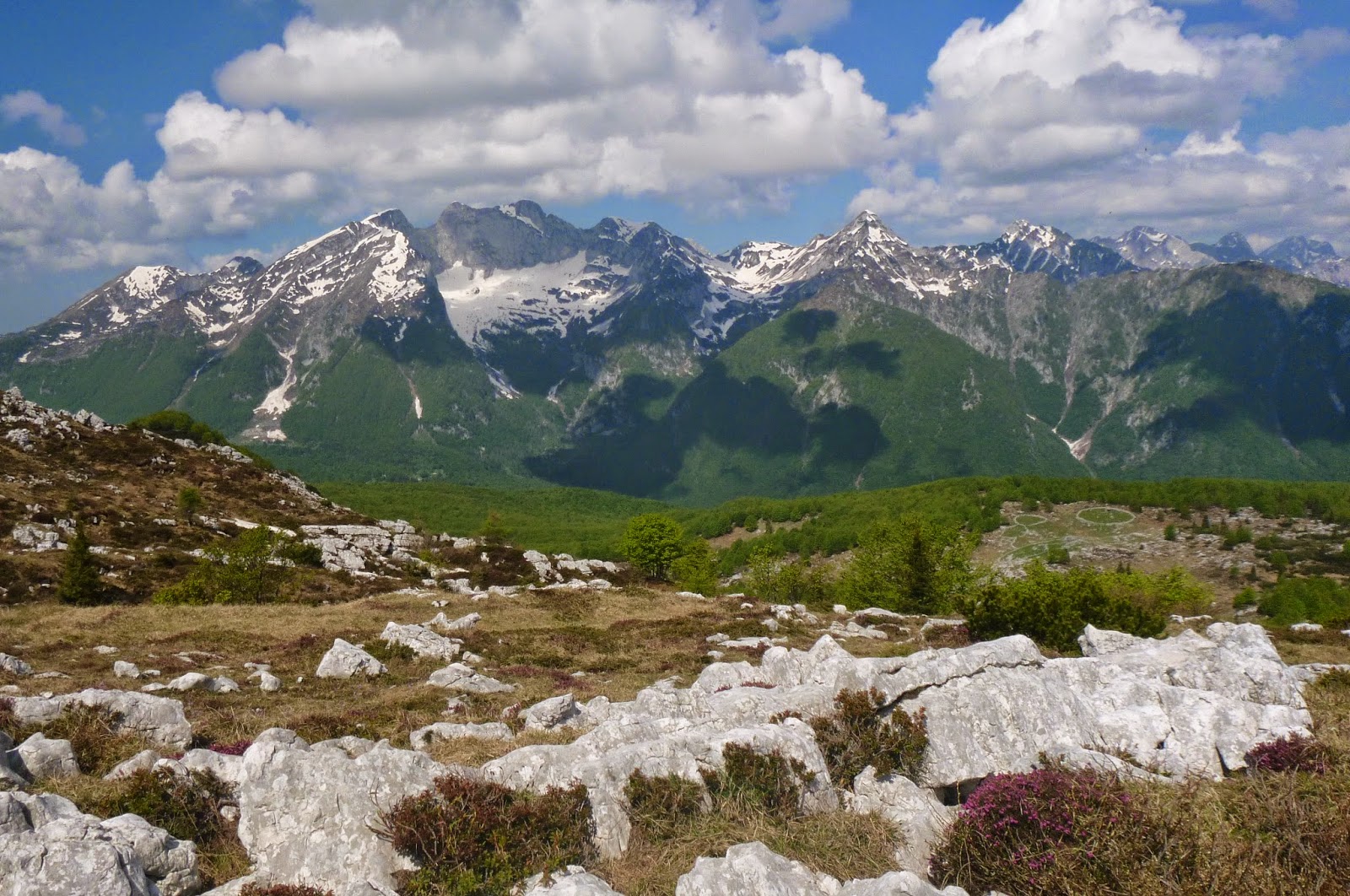
The grassy hills seen from near La Vedetta

Below the Vedetta,with Malga Archeson upper left

"Bocca di Forca", below La Vedetta, is the cyclist nickname
for the climb from Possagno (I call it Strada degli Alpini)


Miniature Tower of Pisa in Possagno yard

Rival Eifel Tower in neighbor's yard

Temple (church) built by Possagno native sculptor Antonio Canava 1819 


Thursday, May 29, 2014

Col delle Palse

The forecast called for rain in the afternoon so I tried to sneak in a local ride this morning.  After warming up to Coltura I turned off for Mezzomonte and headed up.  At 460 meters (by the cemetery) I turned left onto this steep mountain road.  Beautiful sunny climb up to 1358 meters where you join the gravel road from Piancavallo to Il Cansiglio.  I turned right and after 100 meters turned left onto a steep concrete road, which goes up the east flank of Col delle Palse.  I stopped before long because the rocky road wasn't working out with my skinny tires.  Looking at the GPS track I was only a hundred meters or so from joining the trail I MTB'd last year from Valle Friz to Casera Ceresera.

Low-flying clouds had moved in below, and the ride down was chilly.  Lots of drainage channels to keep you from building up speed (probably a good thing).  Back at Mezzomonte I began seeing bikers; they were all over the descent to Coltura and on Via Pedemontana toward home.   

This is a great climb.  I think it's harder and more peaceful than Aviano-Piancavallo, though much less fun to descend because of the rough pavement and drainage channels. 

I stopped here; trail to Casera Ceresera shortly ahead

Forested hills of the alpine zone

Down the concrete ramp toward Piancavallo-Il Cansiglio road
Beautiful scenery you climb through around 1300 meters

Curious horses in the road near turnoff toward Val di Lama


Sunday, May 25, 2014

Pala Fontana Hike

Pala Fontana is the first thing I see every morning when I look out my window.  It's the highest spot (1637 meters) on the front range sweeping up from the Adriatic coastal plain. 

 I started by walking from my house in Selva up Via Umberto Saba, which soon turns to gravel.  Turn right onto Troi dei Vuolth trail and climb to Baitola Polo at 813 meters.  From here continue up through a patch of cespuglio shrubby trees and then open alpine grassland to Ricovero Casera di Giais at 1289 meters.  This is a beautiful spot, grassy and flat to rolling, surrounded by higher ground on 3 sides.   Now head southwest on CAI 988 in direction Forcella di Giais.  After you pass through a delightful hidden forest of faggio (beech) you arrive at a right turn marked Pala Mont.  This is a comune trail rather than Club Alpino Italiano, but turned out to be fantastic.  It's well-marked and maintained, with lots of tornanti to ease the steep gradient somewhat.   This joins the ridge trail coming from Monte Ciastelat around 1595 meters and continues to the first high point, followed by a sella and then the cima di Pala Fontana at 1637m.  Great views up here.  

Instead of retracing my steps I decided to check out the trail down to Forcella di Giais.  This seemed much steeper to me- I would definitely recommend Pala Mont trail instead.  Near the forcella I joined CAI 988 and headed northeast.  This trail is very narrow, clinging to the side of a steep slope for a kilometer.  Finally arrived back in the cool shade of the hidden forest.  From here, retraced the route to home.

Wonderful weather and climb.  Next time I may try continuing northeast to Pala d'Alti and descending to the Osservatorio Astronomico.    


Turn onto Troi dei Vuolth

The faint trail continues to the
left of the irises at Baitola Polo

Pretty wildflower along trail

Ricovero Casera di Giais, Cima Valfredda (1307 meters) in background

Rocky cliffs north of Ricovero Casera di Giais

Looking toward Monte Ciastelat from near the ricovero 

The hill that the hidden forest hides behind
Cool, shady hidden faggio forest.
Note exposed karst stone 


Pala Mont trail head: turn right here

Along Pala Fontana ridge-line: some Via Ferrata,
not needed today but handy in the ice and snow 

Monte Cavallo Gruppo from Pala
Fontana ridge; note the erica (heather)

Val Cellina peaks; note Monte Ciastelat knob on right edge 

Casera dietro Ciastelat karst formations

ALIENS!!  No, repeated frost/thaw cycles
make these rock circles in Alpine zones

View northwest: note Piancavallo ski town,
and antenna farm on Col Ceschet (1394m)

Giais, my village on the plain far below


Thursday, May 22, 2014

Monte Resettum MTB

I decided to try climbing to Forcella Clautana from Mattan, just before Lesis along Torrente Cellina.  After the ride up Valcellina from Montereale, I descended from Claut to the river and turned right onto a dirt road at Mattan.  After crossing the river on a narrow bridge, I began climbing the concrete road steeply uphill.  The concrete road eventually ends and then resembles a logging road.  Generally not bad but there are many steep rocky sections.  

I continued switch backing up to 1300 meters and then large patches of snow began appearing, some completely blocking the roadway.  These I walked around pushing or carrying the bike.  The snowy stretches grew longer and more frequent until 1400 meters they were continuous.  I tried walking up through the snow for several switchbacks, thinking maybe it would become more sun-exposed and thawed, but instead it just got deeper, maybe a meter deep.  At 1425 meters I reached some snowshoe tracks coming down from the opposite direction, but had no idea how much further the snow cover persisted: was it just the mountain shadow of Monte Resettum or did it extend all the way to Forcella Clautana?  So I turned around and headed down.  Very long descent ( I went slowly) but once I got on the paved road I made up time on the long downslope home.   Will try this again- maybe by July the snow will have melted?   

Claut from 700-800 meters

Monte Resettum (2067 meters) from 1400 mteres on trail

The road becomes snow-covered, then gets deeper and deeper
the higher you go.

Beautiful wilderness to the east; note the pastures at Rifugio Pradut


Tuesday, May 20, 2014

Via Guitcillo da Montanara II MTB

I tried climbing up this road from Montaner to Cansiglio last month but couldn't find the trail above 830 meters.  Today I tried again.  The steep paved climb went much better this time- didn't have to stop to rest.  I don't know if this is a fitness improvement after climbing Zoncolan or if I just learned how to beat it from my experience last time.

Around 800 meters I turned right onto a dirt road I'd seen on the OSM cycle map.  It dead ended at an old farmhouse after a few hundred meters.  Then I tried a branch that went south to a beautifully restored farmhouse (another dead end).  As I headed back toward Via Guitcillo da Montanara I saw another branch near the turn off.  It looked promising but ended in a hollow full of ortica (stinging nettles).  I was wearing bike shorts so my legs felt like pincushions full of tingling needles.  Still do, a little.

I continued up the climb to the farmhouse at 830 meters, and followed the grassy ride to the right like last month.  I tried the same barely visible path I tried last month, but continued going even when it seemed to disappear.   Voila! I reached the elusive dirt road which descends from Il Cansiglio.  This road alternates between concrete and dirt, descending and climbing again.  Quite a fun ride- I'll have to try it from the top next time.  

I finally reached the paved main road from Vittorio Veneto to Il Cansiglio.  I turned right and ascended, skipped the first right turn to Nino Bixio and continued to the next right turn, for Col Oliver picnic area.  This is another fun climbing and descending dirt and concrete road.  Eventually you reach La Strada del Patriarca, which climbs up from Cordignano (Villa di Villa).  Shortly you reach the main Cansiglio road coming up from Sarone and Caneva.  I cruised down and rode Via Pedemontana  home.  Good climb through lovely landscape.

The house where I gave up looking for the trail last month; 
note the big tree my bike is parked against


Seen from the tree by my bike in the previous photo, this is
where the faint trail heads uphill (marked by my backpack)

Hike up to a ridge and you enter this clearing (there's a hunting
 blind to your left); head toward your upper right
Finally you reach this road; turn left
The big house where you emerge from the forest onto the main road


The main road from Vittorio Veneto; turn right

Turn right off the main road on this dirt road
toward Col Oliver picnic ground


This is where La Strada del Patriarca meets the main
Cansiglio road from Sarone and Caneva