Friday, October 13, 2017

Degnona

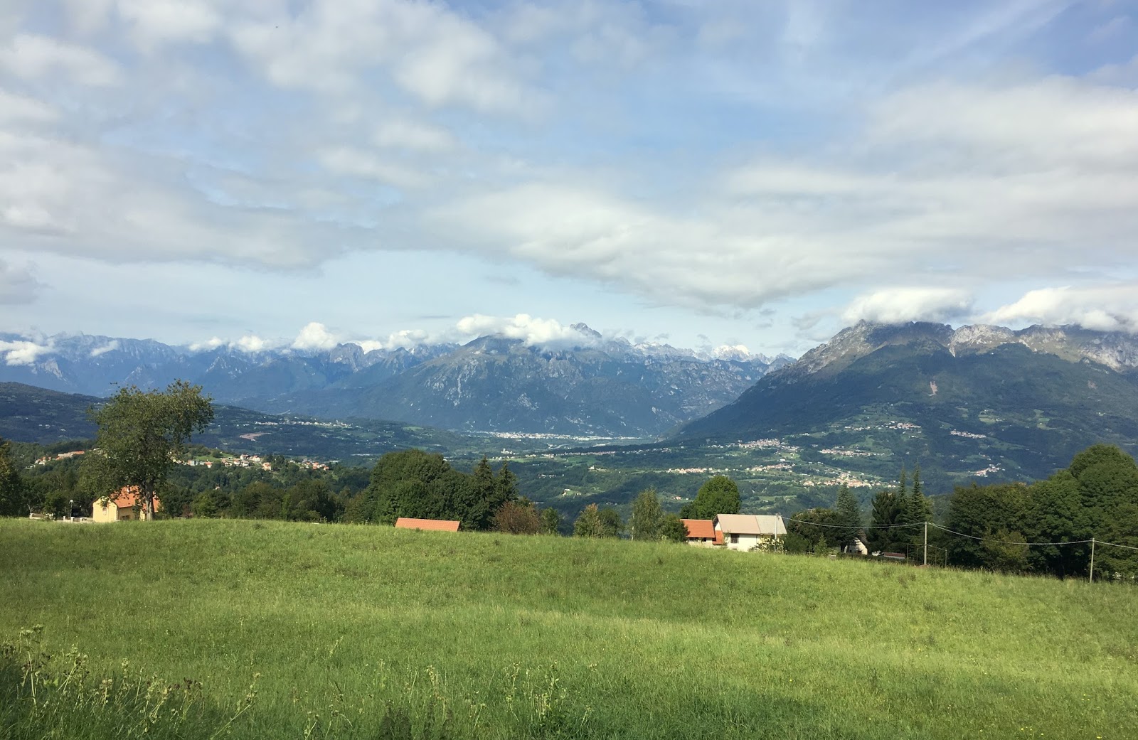
Haven't been up here above San Martino in Alpago for 5 or 6 years.  In the past I went through here going to or from the long traverse to La Carota on the southeast flank of Monte Dolado.  Today though I wanted to explore the road above San Martino,which I'd summarily dismissed as too steep previously.  Well, it is steep but the views are so pretty the suffering is worthwhile.  The road to Degnona bears right while the road left heads toward La Carota.  

I meandered upward on this torturous path several hundred meters before my first stop, and after a rest I restarted, wobbled a ways and stopped again.  Three or four more times.  Finally pavement ended around 1100 meters so I could get off for good and take pictures.  Really wonderful climb.  I'll try not to neglect it so long next time.     

End of pavement at 1100 meters 

Monte Teverone, 2328 meters

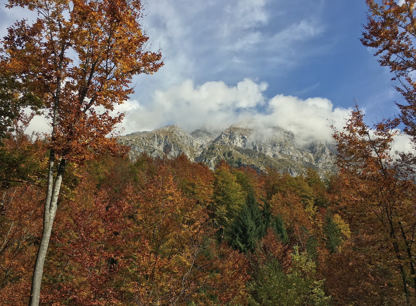
Autumn foliage 

Pretty mountain house with Monte Dolado in background


Climb from Chies d'Alpago

The killer above San Martino.
Garmin says max 16%; I say 20.


Tuesday, October 10, 2017

Val Zemola

This is a gorgeous ride over Passo San Osvaldo, to Erto above Lago di Vajont, then steeply up Val Zemola.  It was not too bad of a surface even on a road bike, all the way to Casera Mela and a bit beyond.  Previously I'd MTB'd it and went further north toward Rifugio Maniago.  Wonderful scenery and good exercise in pristine air.  Love it.


Saturday, October 7, 2017

Poser Puner

I parked above Vittorio Veneto and rode through Revine Lago and Follina to the prosecco vineyards at Combai.  Here turn right toward Madean and Casera Budui.  The woods were filled with hunter gatherers stalking wild chestnuts which were raining down upon our heads.  Luckily I was helmeted.

Around 1000 meters the trees thin somewhat and you can see the sky.  Usually I quit at Casera Budui or take the paved traverse to Pianezze, but today I continued on a dirt road alternating with concrete to Rifugio Poser Puner.  Great views here over the ridge toward Dolomiti Bellunese and Feltrese.  Poser Puner itself is beautul rolling grassland with horseback riding and hiking.  Spectacular autumn ride. 

The trail winding on toward northwest 

Views from Poser Puner

View northeast


Laghi Revine rift valley

Horseback riders

Looking back at Poser Puner before diving into the forest


900 meter gain in 11 km; hardest
 part is the middle 5 km averaging 9.5%


Wednesday, October 4, 2017

Val Resia

It's been 5 years since I climbed Val Resia and I really have no excuse.  Maybe I was too busy trying to find new climbs instead of treasuring the wonderful ones we have right here in Friuli.  The road turns off from the Alpe Adria bike trail in the town of Resiutta. You ride alongside  Torrente Resia for quite awhile, eventually climbing high above it.  Before long you reach Stolvizza, then dive down through a stack of switchbacks to a river crossing, and then begins the main event: 4.5 km averaging over 11%. It's hard but they've paved the road better since I was last here, so less tendency for wheel slippage.  You still get a bit from fallen leaves but it's manageable.  At the end starts a walkway of riverstones embedded in cement, which I elected to skip.  Eventually I'll get up here on MTB.  While I rested a buck was bellowing to attract mates, a wild sound perfectly suited to this spectacular forest.
I'll be back before another 5 years next time.      

Torrente Resia

Beautiful panorama near Coritis


I was too knackered to climb up the riverocks

Gorgeous autumn colors


Friday, September 29, 2017

Back to School

Rode to school  but they cancelled today.  No problem, nice day for a ride.


Fields below Giais

Monte Fara, Monte Raut, Monte Jouf

Pala d'Altei and Monte Fara


Thursday, September 28, 2017

Nevegal da San Boldo

This long hilly traverse from Passo San Boldo to Nevagal is one of the prettiest rides I know.  After the pass you descend to Campedei then again climb steeply toward Pianezza, a beautiful altopiano surrounded by fir forest.  Continuing northeast, more steep climbing followed by a fun plummet to Valmorel.  After Tassei you reach Piandelmont and climb steeply to Ronce, with several lovely forested stretches of strada bianca.  More climbing to Nevegal, where you begin the long descent to Quantin. After the Quantin cemetery turn onto the narrow steep lane down to Roncan.  Turn right and descend yet more to Cornelade and the shore of Lago di Santa Croce.  From here easy ride back down to Vittorio Veneto.  A classic.

Note: had GPS issues so I'm showing the map from a couple of years ago, which is mostly the same.  I did get a screen shot off the Garmin:  track distance is wrong, should be 72km


Above Campedei


Along the road from Campedei to Pianezza

Pianezza farmhouse

View from Pianezza-Valmorel road

View from above Tassei 


Asini near Ronce 

Monte Dolado from Quantin road

Alpago from Quantin road


Wednesday, September 20, 2017

Mezzomonte-Valle Friz-Piancavallo

Rain finally quit so I had to get some riding in.  Rolled down to Colture then headed steeply up to Mezzomonte.  By now I was baking in winter clothes. so I stripped down to bike shorts and headed up toward the Cansiglio-Piancavallo panaramica.  At the junction near Col Palse I headed right and soon reached Valle Friz and then Casera Campo.  From Piancavallo an easy glide down to Via Pedemontanae and home. 


Swiss cow and dappled horse, Col Palse


Snowy September peaks toward Slovenia

Val di Croda cliffs above San Tome

Torrente Artugna

Snowy Monte Cavallo gruppo from Caldastia

Best local climb: it's official


Wednesday, September 13, 2017

Pian Formosa

From Vittorio Veneto to Belluno spreads a spectacular cycling area: the Cansiglio altopiano, Lago di Santa Croce, the conch valley of Alpago, and Nevegal.  You're spoiled for choice and can't go wrong.  Today I revisited a spot I haven't seen since 2010, Pian Formosa.  I warmed up on this Novemberish September morning on Via Pedemontane and headed upward at Sarone toward il Cansiglio.  After crossing the altopiano I turned right at Pian Rosada, a gorgeous fir forest.  This ends up at Col Indes, with an eye-popping panorama of the Alpago conch.

I descended to Tambre and turned right toward Pianon.  Now you are on Via Cate, a cliffside  panaramica road  following the contour line along western Alpago.  At the turn off for Pian Formosa head steeply upward.  It's less than 2 km but makes you work for every inch, topping out around 1200 meters.

I headed home directly through the Cansiglio, skipping Col Indes and Pian Rosada.  Descending to Sarone something popped off of my bike as I sped over a big bump.  Looked around awhile and found my Garmin Oregon in the weeds.  I figured it was toast but it didn't miss a beat.  Heavy, but tough.    

Alpago panorama from Col Indes


Monte Messer


Pian Formosa

Monte Messer close up

The high pastureland of Pian Formosa


Sarone La Crosetta climb; I refused to use
the 34-34 gear out of vanity

Pian Formosa climb