 |
| Folds up to fit in train or airline overhead storage |
 |
| Pala Fontana from laundromat |

Cycling Dolomiti Friulane
|
| Folds up to fit in train or airline overhead storage |
|
| Pala Fontana from laundromat |
 |
| It was very cloudy so this was all I could see to shoot; this is the Italian version of Spanish Moss |
 |
| Add caption |
 |
| Looking down through beautiful Val Arzino |
 |
| Close up of mountains further down the valley. |
 |
| Pozzis along the Arzino |
 |
| Sella Chiampon meadows (sorry about the thumb) |
 |
| Sella Chianzutan peaks seen from Sella Chiampon |
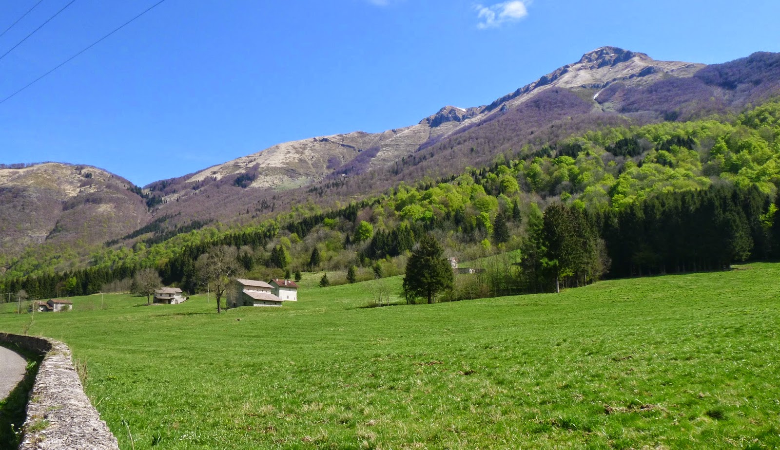 |
| Peaks from another angle |
 |
| The notch is Sella Chiampon (seen from Socchieve) |
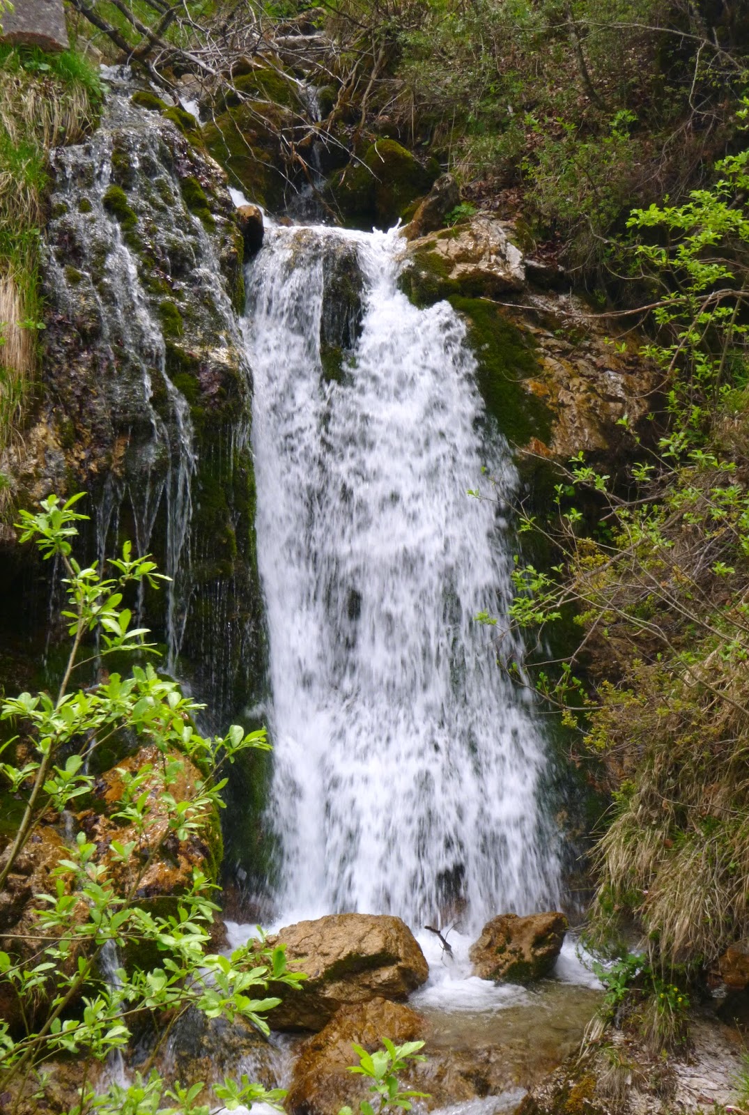 |
| Waterfall at the start of climb up north side of Passo Monte Rest |
 |
Climb stats up north side of Passo Monte Rest |
 |
| From near Cavasso Nuovo: left Monte Chiarandeit, center Monte Mulon, right Monte Valinis |
 |
| Frisanco, Casasola, Monte Raut |
 |
| Chiesetta Alpini at Forchia di Meduno |
 |
| I took the left gravel road (to Monte Chiarandeit); the right ends at a settlement called Ferrara |
 |
| View of Chiarandeit from Stalla del Bianco (hunting cabin). It appears to be a big rock scramble with trees. |
 |
| From Cereis: Cavallo Group, Poffabro, Monte Raut |
 |
| View northwest |
 |
| Monte Celant |
 |
| Monte Raut. Last fall I hiked up to the notch you see below the snowcap, Forcella Capra |
 |
| From Stalla Cereis: Il Von (1147m) |
 |
| Stalla Cereis |
 |
| The road on cliffs above Torrente Silisia to Lago Ca'Selva |
 |
| Primula bouquet surviving in a shady spot |
 |
| The road continues up to Madonnina del Domm (960 m) |
 |
| View of Faedis and the plain stretching to the Adriatico |
 |
| Chiesetta di Sant'Antonio; the road upward goes to Subit and Porzus, road to Slovenia to right, road down to Faedis on left. |
 |
| To north, snowy Jof di Montasio towering over the wall of Monte Musi |
 |
| Santa Barbara Orthodox Church, Borgo Val |
 |
| View west |
 |
| Casera Col de Fae |
 |
| Chiesetta del Santo |
 |
| Altar of chiesetta |
 |
| Sentiero Pagnoca map |
 |
| Chiesa di Montaner from 500 meters |
 |
| The road bike by lovely restored stone farmhouse |
 |
| Chiesa di Montaner from 700 meters |

 |
| Monte Raut from Monte San Lorenzo pass |
 |
| The higher bridge across Torrente Silisias. Quite spindly looking from this angle. |
 |
| Trail from Panuch toward Monte Raut |
 |
| Top end of the lake where trail for Strada degli Alpini starts |
 |
| The sluices on the left are dry, creek is low |
 |
| Tough climb from dam to Panuch |
 |
| Alpine wetland |
 |
| The stone house where I emerged from the wilderness carrying my road bike |
 |
| Junction of dirt road with Strada della Patriarca |


