Saturday, June 14, 2014

Via Buscole

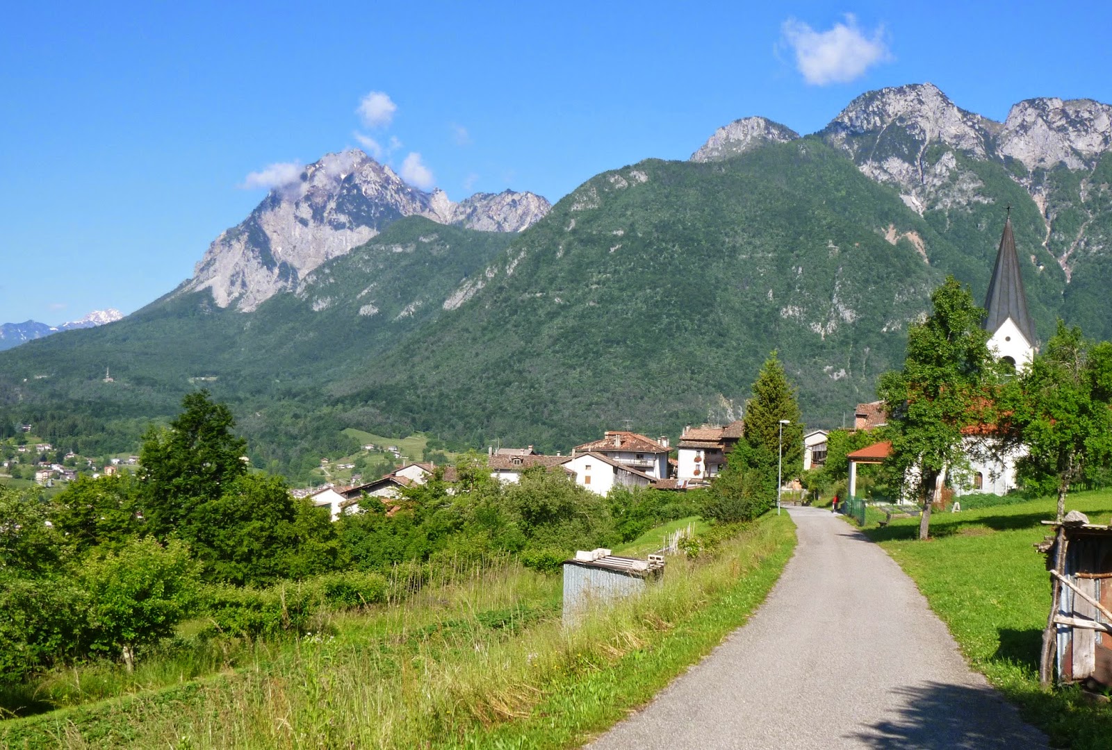
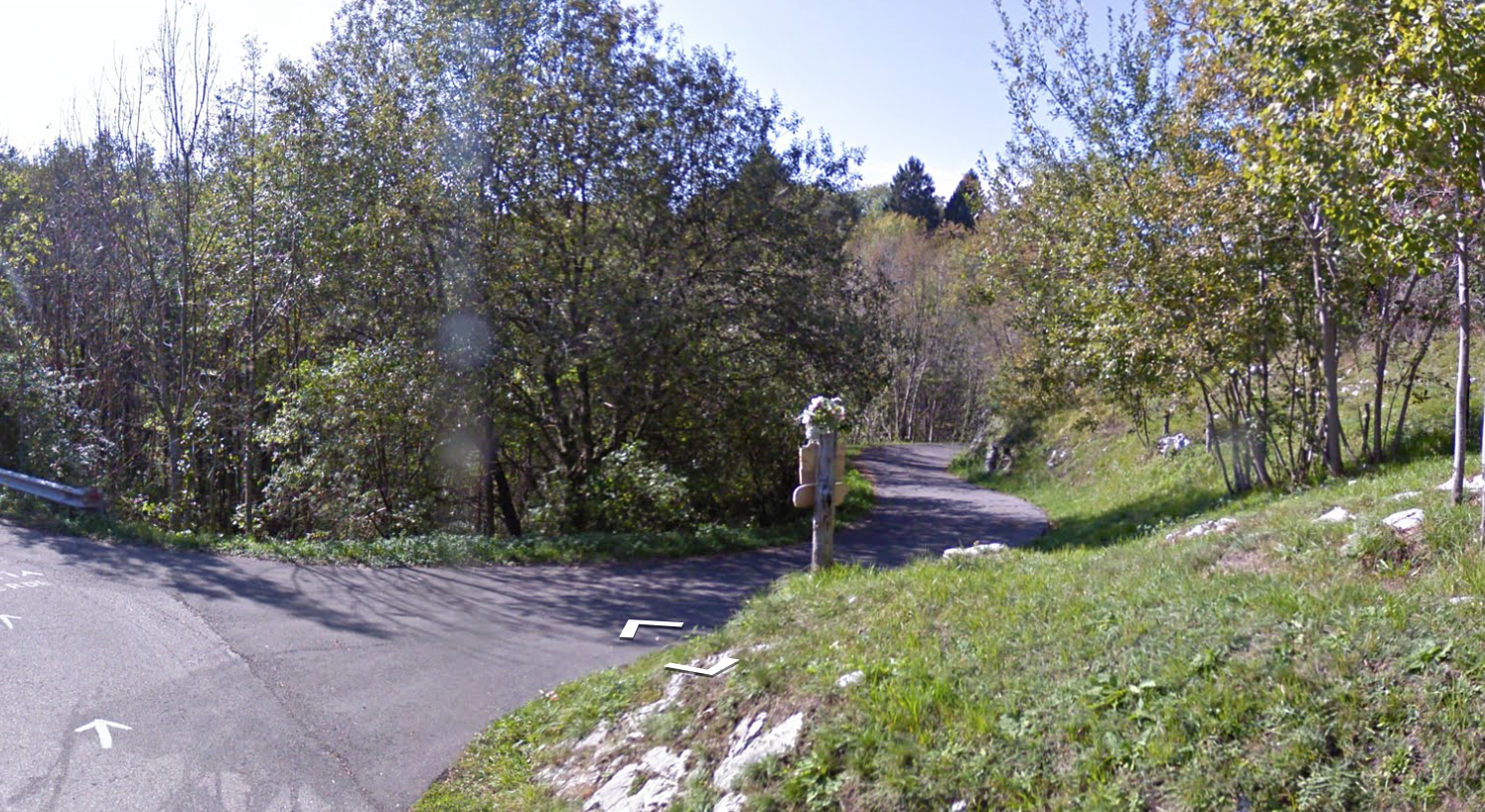
I've been hearing horror stories about Via Buscole and had to investigate. After riding to Vittorio Veneto, over Fadalto, and down the eastern shore of Lago di Santa Croce I arrived at Farra d'Alpago. Ride past the start of Mezzomiglio climb, over a short bridge and you reach the first roundabout of Farra d'Alpago.  Take the first right exit, marked Buscole.  After a brief ride the road ahead is marked dead end, so you must go up to the left.  This street switchbacks through the town until another sign indicating road is closed.  Often you can still get through on a bike, so I rode steeply up to a barrier bearing bad news: Ponte Crollato (bridge washed away).  But there was a footpath around the barrier so I donned my cleat covers and carried my road bike down to the stream bed then climbed up the opposite bank.

From this end of the missing bridge the road corkscrews upward very steeply.  I decided to just push the bike, and even this was difficult.  After several switchbacks the 20% lets up to 10%-17% so I found a flat runout and started riding again.  I wanted to stand on the steepest parts but the surface is wet, covered with dead leaves, and paved with round pebbles stuck in old asphalt.  Had to stay seated to get traction.  Finally this mellows out around 800 meters and you return to sub-10% gradients.

Soon you are in Spert, a pretty frazione of Tambre at the south end of Alpago.  The main road dips down to a stream crossing then you ascend back up to Il Cansiglio around 1000 meters.  Gorgeous ride through the dense forest and grassy Piancansiglio, then La Crosetta, down the hill to Sarone and home. Fun ride.

Lago di Santa Croce 

Boats with Monte Dolado in background

Washed out bridge and steep road on opposite bank

Looking back at the road coming from Farra d'Alpago

Mellower gradients just below Spert


Thursday, June 12, 2014

Monte Pala MTB

Monte Pala is a high point on the ridge above Clauzetto and Pradis.  It has an unusual shape, like a circular mound and is recognizable from far away on  the plain.  On a clear day you can see it from the airbase near Roveredo.  

I MTB'ed to Meduno and Travesio then started the climb.  After Clauzetto continue upward toward Pradis di Sopra until the right turn marked Rope, Zuaniers, Fraspedane, Ueres.  This newly paved road takes you steeply up to the right turn for Malga Polpazza.  This narrow lane switches back and forth from asphalt to dirt to concrete.  The forest and meadows you pass through during the ascent are peaceful and wild.  Above 1100 meters the trail steepens and it's tough to get traction.  Finally it tops out around 1192 meters in a grassy, scrubby flat area.  There are numerous antennas and repeaters up here.  Also Malga Polpazza, deserted today but looking like it gets a crowd during tourist season.

I took it easy on the ride down, careful to avoid falling.  Then the long ride home, along the edge of the sweltering plain.  I was very glad to reach the house and take a relaxing bath.  This is a fun ride- also a good hiking trail.  I snowshoed it with my terrier Rocky 18 years ago, though the only details I remember are it was snowy and I had to carry my tough little dog down because he was so worn out.       


Monte Rossa to the north

Tagliamento River on the plain to southeast

Meduna River to southwest

Pradis directly below and big peaks to the west in the distance

Malga Popazza, cow stalls on left, the human quarters on right 

 Wooden gate in stone wall around meadow;
mountains to northeast in background 

More of the stone-walled meadows with mountains 

Grassy meadows with Monte Pala in background


Tuesday, June 10, 2014

Val Zemola MTB

Above Lago di Vajont the towns of Erto and Casso cling to the northern cliff face.  Atop these cliffs hides a wilderness area of lush forests, tumbling mountain streams and high peaks.  From Erto the entry way to this area is Via Val Zemola.  I decided to explore there today.

After riding up Val Cellina and over Passo San Osvaldo I turned right at Erto and climbed up to 1000 meters.  The road continues north less steeply until pavement ends.  After a while pavement returns for a stack of switchbacks up to  Rifugio Casera  Mela.  Decision time: I intended to continue up to Rifugio Cava Buscada around 1800 meters.  But the trail seemed too sun exposed for such a hot day, and I was already sweating profusely and panting.  The other trail passes through shady forest.  I took the shady trail along the rim of Val Zemola gorge and on toward Rifugio Maniago.  Good choice: it was absolutely gorgeous.  The trail is a dirt road with a few concrete sections.  There are also three guadi (fords) to ride through and cool off a little.  At 1525 meters I reached end of the road, where a hiking trail continues to Rifugio Maniago at 1725 meters.  I'll have to come back and hike that another day.  And Cava Buscada I'll try hiking in autumn before it snows.


A great area to ride through that feels completely wild.


Steep-walled Val Zemola; the torrent descends very rapidly: later
you cross it at ground level, despite ascending to  1300 meters 

Dirt road heading toward Monte Duranno (2668m)

Cima Fortezza (2101m)

Forest at end of the road

Close up Monte Duranno


Friday, June 6, 2014

Forca di Pani / Lauco

Today a couple of climbs from 3 years ago that I'm finally revisiting, this time from west to east.  I drove to Tolmezzo and warmed up on SS52 to Ampezzo.  Here you turn right by the church toward Voltois.  After a brief descent to Torrente Lumei the climb begins.  In the next 5 kilometers you climb 643 meters, averaging 13.8% gradient, with stretches of 19%.  Normally I would have had to stop to rest several times but I have a new 11-30 Centaur cogset and I was able to ride all the way up.  From Forca di Pani (1111 meters) you descend steeply to a beautiful area of rolling pastureland, Pani di Raveo.  I took Via Macelis, a different more-northerly route than 3 years ago, very fun saliscendi through the fir forest with a final plunge to the village of Raveo.  From here you glide down a wide new road to Villa Santina.

At Villa Santina starts the climb to Lauco.  This is an excellent stack of switchbacks with very regular gradient (7-8%) for 7 kilometers.  I stayed in the 27 cog all the way up.  Around 870 meters you peak and descend to Vinaio.  3 years ago I rode to end of pavement at Val di Lauco (1180 meters) but not today; in a few weeks I hope to ride that route on mountain bike to Monte Zoncolan and Arvenis.  We'll see how it works out.

Today instead  I did a hellish series of climb/descents through Plugna (991 meters) Buttea (924 meters) and Fusea.  From Fusea down the switchbacks to Caneva, and across Torrente But to Tolmezzo.   Great ride!


View west from Voltois
After the inferno of Forca di Pani you arrive in this paradise

Warning: bears, goats and humans 

Pani di Raveo
Pani di Raveo close up 

The view toward the east
Southeast: Villa Santina and Tagliamento 

Guado in the forest: steep slippery climb up opposite bank
Wood rail fence in pasture

Country house

Wide pastureland to north

Fir forest

Tiny church with Zoncolan and Arvenis in background

Village of Raveo

I was tired after Lauco- this was the only photo I took:
bike route to Curiedi


11-30 Centaur cogset


The deadly stats for Forca di Pani climb


Monday, June 2, 2014

Cuel di Forchia da Cjanet MTB

This is a new route up to Cuel di Forchia starting at Cjanet, above Peonis near Tagliamento River.  Turn left off  Strada del Bottecchia and climb an easy series of switchbacks.  Much of this road has just been paved and is perfect.  Around 460 meters make a very sharp dogleg turn onto a dirt road ascending to your right.  This climbs gently for the most part up to 822 meters at the junction with the paved road fromVal Tochel to Cuel di Forchia and Avasinis.  I turned right and reached Cuel di Forchia at 877 meters.  Lots of people parked here to hike to Monte Cuar on this Italian holiday.

I cruised down to Val Tochel at 864 meters and then headed toward Monte Prat.  I took a little deviation on a road marked Val Borgna- very pretty route.  Easy descent from Monte Prat to Forgaria.  Tons of bikers out riding today.    

Giro came through Lestans 2 days ago and the decorations are still up

Cima Pala (909 meters); Fiume Tagliamento on left


Get ready to turn here at 460 meters.  It kinda snuck up on me

If you make the turn you'll be heading up this gravel road 

Here the road joins the paved road to Cuel di Forchia

From Cuel di Forchia you could also
descend this way to Avasinis


The right turn to Val Borgna


Saturday, May 31, 2014

La Vedetta da Possagno

Strada degli Alpini from Possagno is often called the toughest climb up Monte Grappa.  I've tried the other 3 eastern routes, so this one was next.  I warmed up from Pederobba, through Cavaso del Tomba and into Possagno (265m).  I turned right at the sign and headed up.  Not bad at first, 9-10%.  Then steeper and steeper.  I was doing pretty well until about 800 meters and the 18-22% stretches sent me into crisis.  I hung my head over the bars awhile and hyperventilated.  I walked some.  I rode a little.  Somehow I made it to the junction with the Passo del Tomba to Monte Grappa ridge road at 1067 meters.

I decided to keep going.  I've ridden this ridge road 3 times before and knew it was hard, but I'd survived it previously after hard climbs from Alano di Pieve and Cavaso del Tomba so thought I could do it.  Very slow grinding but I made it up the switchbacks and finally to La Vedetta dell'Archeson at 1469 meters.  Then I headed rack down.  Fun descent with lots of riders ascending from Passo del Tomba.  Then the plummet down to Possagno with hands cramped from clutching the brakes so long.  Saw only one rider on this stretch- he looked tired and was just getting started.

I will try this again someday on my mountain bike.  There are some interesting trails winding around the grassy slopes of Monte Archeson I'd love to explore.  


Turn right here at Possagno

Take this left 

Again take a left 

Don't turn left before this house, wait till after the danger sign

Asolo hills from 800-900 meters (while I was recovering)
Just below the junction with the ridge road
Turn left toward Cima del Grappa

Famous goat at the junction with Paderno del Grappa climb

Cima del Grappa (1732 m) site of Friday's cronoscalata finish

La Vedetta dell'Archeson chapel

The grassy hills seen from near La Vedetta

Below the Vedetta,with Malga Archeson upper left

"Bocca di Forca", below La Vedetta, is the cyclist nickname
for the climb from Possagno (I call it Strada degli Alpini)


Miniature Tower of Pisa in Possagno yard

Rival Eifel Tower in neighbor's yard

Temple (church) built by Possagno native sculptor Antonio Canava 1819