Wednesday, July 17, 2013

Zoppe di Cadore

Last year I rode to Zoppe di Cadore after climbing over Forcella Cibiana in both directions.  But my camera battery died so I got no pictures.  Today I tried again.  Instead of driving I rode from home, leaving about 6 AM and  following Valcellina to Passo San Osvaldo (822 meters) descending to Longarone on the Piave River (460m) Then climbing along the beautiful gorge of Torrente Maè to Forno di Zoldo (1000m).  Here you turn and ride through a series of lovely hill towns with wooden balconies and eye-popping flowers.  Then you enter an undeveloped wilderness: mountains covered with tall spruces, white water Ru Torto roaring far below, and a steep road hauling you ever higher till Zoppe di Cadore (1482m).  This is another pretty village, with a huge mountain looming overhead, Monte Pelmo (3168m).  Today it was engulfed in clouds, so I couldn't get a picture of it, but it was spectacular last time I was here (with dead camera battery).

I was now half-way done with my ride at 77 km.  Luckily the return has much more descending, though you still must climb from Longarone, past Vajont dam to Passo San Osvaldo.  Not too hot at noon today so it wasn't bad  A long ride but very enjoyable.  I'll try again later to catch Pelmo on a clear day.    

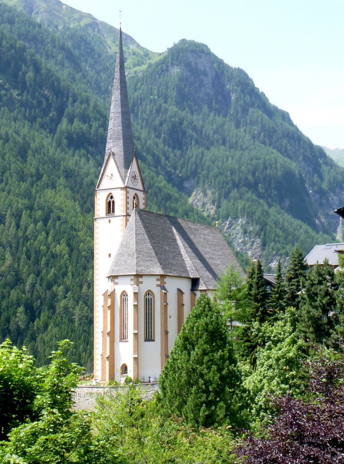
Little church at Zoppe di Cadore

You can make out a little bit of Pelmo above town, but not much

Dolomite peaks from the road descendin from Zoppe di Cadore

Beautiful old hay drying sheds with lattice work
to allow air flow 

Church on a hill outside Forno di Zoldo

Pretty chapel at Dozza

Big Dolomite peaks south of Forno di Zoldo

Pretty waterfall along road near Soffranco  


Sunday, July 14, 2013

Forcella di Giais Hike

I was preparing for a mountain bike ride to Piancavallo this morning when I took the dogs out.  When I returned them to their penthouse suite (upstairs hallway sleeping area), they gave me the saddest look imaginable with their big puppy dog eyes.  I acquiesced and switched everything  over to hiking gear- they were going to the mountains!

At Castaldia I turned toward Col Alto and parked at a switchback end above Candaglia.  We hiked along the gravel road through the meadows, which were surprisingly wet.  In the shady areas large accumulations of pea-sized hail were piled up and slowly melting.  We often get big storms in the evening this time of year and it comes down frozen up high. 

A bit further along a large flock of sheep was stretched across the road.  They let us by no problem but one of the shepherd dogs started bothering Teddi.  Honey snarled at the much bigger dog, so I picked her up to avoid controversy.  We eventually escaped; now I decided instead of going up the steep gravel road to go straight across the meadows on foot paths.  Naturally this was a mistake and we ended up scrambling up a scree slope eventually to regain ground.  The girls didn't seem to mind at all. They are the perfect companions, never complaining, always eager to surge forward, and very energetic.

We rejoined the gravel road which soon became CAI hiking trail 985.  It descended to La Ronciade, then we turned right onto CAI 988.  This rises to Forcella di Giais (1442m), a pass with great views of the plain (despite the haze) and surrounding peaks.

Hike back was uneventful but now there were many more people- they start hiking after the sun is already heating up, and the biting flies are coming out.  Much better to go early in the morning, in my opinion.

Teddi and Honey had a great hike and seem eager for another soon.  The bikes will just have to wait somedays.
  

Looking back across Candaglia meadows after first kilometer

Big herd of sheep enjoying alpine grass

Honey deciding which  fork to take

Teddi examining local flora

View west from ledge on Col Ceschet (1350m)

Eastward from Col Ceschet ledge toward Pala Fontana

Teddi standing against a prop to get better view
 of her surroundings

Pala Fontana (1637m) from Forcella di Giais

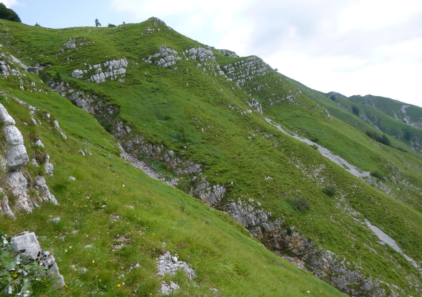
Lush grassy meadows above Giais

Our village, Giais, from the  Forcella (1442m)

Rugo della Fontana, bottom; Col Ceschet, right  

View north across La Ronciade, Monte Cavallo in the clouds

Friday, July 12, 2013

Grossglockner from Heiligenblut


Today I drove up to Austria and rode the southern side of Grossglockner Hochalpenstrasse from Heiligenblut.  Stunning scenery and perfect weather.  The 15km  from Heiligenblut to Hohe Tauern is unrelentingly steep, gaining 1236 meters, with an average gradient of 9.1%.  My Garmin seemed to dither from 10%-13% except for the little dip down to the turnoff for Frans Josef glacier.  Luckily it stayed cool, with even a cold, gusting wind higher up.

After the high point at Hohe Tauern (which would be even higher if they hadn't bored a tunnel under the pass)  I cruised down and then back up to Fuscher Törl (2425m), my endpoint last year when I rode up Grossglockner from the north.  Luckily Edelweiss Spitze was socked in with a cloud hovering over it, so I didn't feel obliged to punish my legs any further.

Beautiful descent and drive home over Plockenpass to Paluzza.  Stopped at Oberdrauburg and got Marilyn some fresh strudel as a bribe to let me ride again soon.


Jungfernsprung waterfall on right

Close up of the lovely waterfall

Side view showing how the water arcs away from the cliff

The valley below Heiligenblut

The side road to left leads to Franz Josef glacier,
 another ride for next time

From Hohe Tauren toward Fuscher Törl

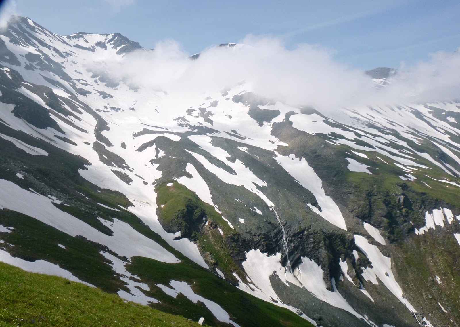
View of big peaks to west from Hohe Tauern

Close up of snowmelt waterfall

Pretty church at Heiligenblut


Tuesday, July 9, 2013

Valle Friz da Mezzomonte MTB

Today I'm attempting the climb from Coltura (55 meters) up to Mezzomonte and on to Valle Friz (1522 meters) on my mountain bike.  I got a late start and the sun was already blazing when I reached Coltura.  At Mezzomonte's cemetery (427 meters) you turn left and start the long slog.  Climbing this on my road bike in Spring I remember the steepness killing my legs, and then having to stand more so it killed my lungs too.  On the MTB the legs are no problem because I was spinning my granny gear most of the way, but the heat, and breathing hard to maintain the pace, took their toll.  Either way, you must suffer.

The only part I couldn't ride up was the upper part of the killer concrete ramp, around 1270 meters.  I was standing and grinding the granny gear, and thought "this is stupid, I could push the bike faster," so I did.  At the top of this climb (1345 meters) you join the rocky road from Cansiglio to Piancavallo.   Looming thunderheads were blocking the sun with a cold wind, which felt wonderful.  I continued on through Valle Friz, Casera Campo, and then joined the paved road up to Piancavallo.  I descended to Bornass and took the back way down to Costa.  This is a great ride and very strenuous.  


Wild roses around 1200 meters

Honey bee visiting the wild roses

Looking back down the concrete ramp of death;
the upper half is over 17-18% 

Immediately after concrete ramp you hit steep
asphalted road immersed in trees.  Cooler, but still deadly.

Thunderheads above karst formations in Valle Friz

Upper section of Val Grande, just below Valle Friz

Lower section of Val Grande; this gorge branches off of
Val di Croda di San Tome north of Dardago


Saturday, July 6, 2013

Breginj and Logje

Today I finally tried a route I've wondered about for a couple of years.  There are two roads into Slovenia in the Prealpi Giulia area north of Cividale that might connect and even be paved, creating a new loop.  Had to check it out.

After warming up from Attimis to Nimis I headed up Val Cornappo.  This is beautiful shady ride until the ponte over Rio Gorgons where the climbing begins.  In the next 6 km you gain 400 meters elevation and then descend to beautiful grassy meadows of Campo di Bonis.  From here you climb again to Passo di Sant'Antonio at 774 meters and then descend again to the town of Platischis.  The road continues descending all the way to Ponte di Vittorio Emanuele, crossing Fiume Natisone into Slovenia.

Here begins the unknown part of the ride, which starts climbing through spruce forest, gaining 220 meters in 3.5 km up to Breginj, a pretty village surrounded by mountains.  The road descends and climbs repeatedly until arriving in Logje, an even smaller town above the Nadiža River (Slovenian name for the Natisone).  A steep twisty corkscrew takes you down to the wooden bridge crossing the Nadiža, where the toughest climb of the day begins.  You gain 320 meters in 4 km with several 15-16% ramps, until reaching the village of Robidišče on the border.  After a brief  easy stretch you do one more push up to Bocchetta di Sant'Antonio (784 meters).

From here you descend the curvy road through Canebola to Faedis, and take the main road back to Attimis.  Fun ride with many possible variations.


Gran Monte from meadows of Campo di Bonis 

Matajur from Ponte Vittorio Emanuele over Fiume Natisone

Breginj chapel  with Stol (1673m)

Church tower at Breginj

Little church at Logje with Vogu (1124m)

Nadiža River from wooden bridge below Logje


Thursday, July 4, 2013

Losego da Cornolade

A last minute decision where to ride today, as weather forecast kept changing and I needed to get home early to take Marilyn to 4th of July festivities.  I truncated my plan to climb Nevegal, instead opting to explore Cornolade.  I've passed by the turnoff dozens of times, curious where it went. So today after ascending from Vittorio Veneto to Lago di Santa Croce I turned under the railroad tracks and up the steep climb.  From the map I was expecting a series of steep switchbacks but instead climbed a randomly curving, fairly steep lane up to Roncan and Col, just shy of 600 meters.  Here started a beautiful traverse/slight climb across the grassy slopes to Losego at 710 meters, with spectacular views across the meadows toward the mountains north of Belluno.  I headed south to Quantin (750 meters) and then back toward the turnoff for Cornolade.  Now I found the missing tornanti- steeply twisting back down toward the little bridge over Rio Maggiore.  This is a very curious stream, which has carved out a mini-canyon through sandstone strata.  Apparently it gets much larger downstream http://win.aic-canyoning.it/forum/topic.asp?TOPIC_ID=295 .  Back at the lakeside I pedaled fast as I could back down to Vittorio Veneto.  Quite a fun ride.   

Lago Santa Croce from road to Cornolade Basso

Monte Pelf (2502 meters) across the grassy meadows

Monte Dolada (1939 meters),  right, with
 Piave River valley stretching to the north

Cugnan's campanile with Monte Pelf above

Dolomiti Bellunesi stretching across the horizon

Rio Maggiore carving some sandstone

Tuesday, July 2, 2013

Monte Jouf da Pala Barzana MTB

A couple of years ago I was riding to Pala Barzana and met Erminio, a mountain biker headed toward Monte Jouf.  I've been wanting to try it ever since and today's the day.  The road above Bosplans had its giant fallen boulders removed and the landslide patched up since last time I visited.  At Pala Barzana (840 meters) I turned left onto the gravel road and began ascending through thick beech forest, nice and cool.  The road is in pretty good shape and eventually exits the forest into the beautiful grassy meadows atop Monte Jouf.  The road reaches 1132 meters and begins descending toward Maniago.  

You descend on an excellent wide dirt road with drainage channels every 100 meters or so.  The older concrete ones are fine because the channel is rounder, but the newer ones have a galvanized gutter down the middle with squared off edges.  This was no problem for the suspension fork but the rear wheel took a pounding.  If I had click-in pedals I would bunny hop over them, but I'm still using straps. Anyway one of these bounced my water bottle out of its cage and it shot down the steep mountain side.  Luckily a tree stopped it, and I rappelled down using some saplings as a rope.  Fun mountain bike ride very close to home.

Looking down at Pala Barzana from road to Monte Jouf

Gorgeous rolling meadows of Monte Jouf

Malga Monte Jouf, deserted except for
a couple of goats practicing butting heads

The high point of Monte Jouf, 1203 meters