 |
| End of plowing at 616 meters |
 |
| Horseshoe curve with Monte Toc (foreground) and Monte Castello (1923m) |
 |
| Monte Taront (1320m) |
 |
| Monte Caulana (2068m) and Monte Sestier (2084m) in background |
 |
| Monte Fara (1342m) on left |
 |
| Zuccul de Zan Modest |

Cycling Dolomiti Friulane
|
| End of plowing at 616 meters |
|
| Horseshoe curve with Monte Toc (foreground) and Monte Castello (1923m) |
|
| Monte Taront (1320m) |
|
| Monte Caulana (2068m) and Monte Sestier (2084m) in background |
|
| Monte Fara (1342m) on left |
|
| Zuccul de Zan Modest |
 |
| Torrente Chiarzo ice falls; these big ice sickles are about 20 feet long |
 |
| Ramp up to Piani di Clauzetto (683m) |
 |
| View to northwest |
 |
| Close-up of my nemesis on the right, Monte Dolada (1938m) |
 |
| Castello di Caneva |
 |
| Castello di Cordignano |
 |
| Some of the pathways connecting the caves of Caglieron, viewed from the bridge |
 |
| Junction above Glera. The red flag means the Italian army are live firing at the Poligono east of town |
 |
| Well done, puppies! |

 |
| Honey & Teddi pose above our village |
 |
| Up the gravon (scree slope) toward Forcella di Giais (1442m) |
 |
| Deer prints in the snow |
 |
| Teddi fearlessly looking over the edge of a vertiginous snow cliff |
 |
| Honey capturing the deer's scent from a hoof print |
 |
| Close up of deer print |
 |
| Glera's new fontana, with animal drinking water on left, human drinking water on the right |
 |
| The gravon is the grey patch on the left |

 |
| Monte Valcalda (1908m) in the distance, shot from Cristo |
 |
| The road winds upward through snowy meadows at Forno |
 |
| Castello Ceconi, with Monte Flagjel (1467m) |
 |
| View showing terraces supporting Castello Ceconi |
 |
| The ornate ferrobattuto front gate |
 |
| Finally got a picture of this waterfall on Torrente di Molin (normally hidden by foliage) |
 |
| Piancavallo from Costa Beorchia |
 |
| Steep gradients above Sottoforca |
 |
| Campanile of the castello ruin, Vigna |
 |
| Country house, olive grove on hill |
 |
| The view east from Vigna, with snowy mountains near Slovenia |
 |
| Castello campanile and Chiesa di San Nicolo |
 |
| Elevation profile |
 |
| Much gradient over 10% |
 |
| The girls donned their ruggedized mountaineering gear for this expedition |
 |
| Honey guards our southern flank while Teddi samples some of the local alpine grass |
 |
| World War II bunker with olive grove; the antenna is our wireless repeater |
 |
| Upslope is to upper left; after some orienteering trials Honey led us out of the wilderness |
 |
| Torrente Cosa, with Col Monaco in background |
 |
| Col Monaco with beautiful old church on top- there's a path from Celante to the church |
 |
| The twisty road descending to Manazzons |
 |
| My poor broken seat mast cap seat mount |
 |
| The missing piece of seat mount (under bolt head) |


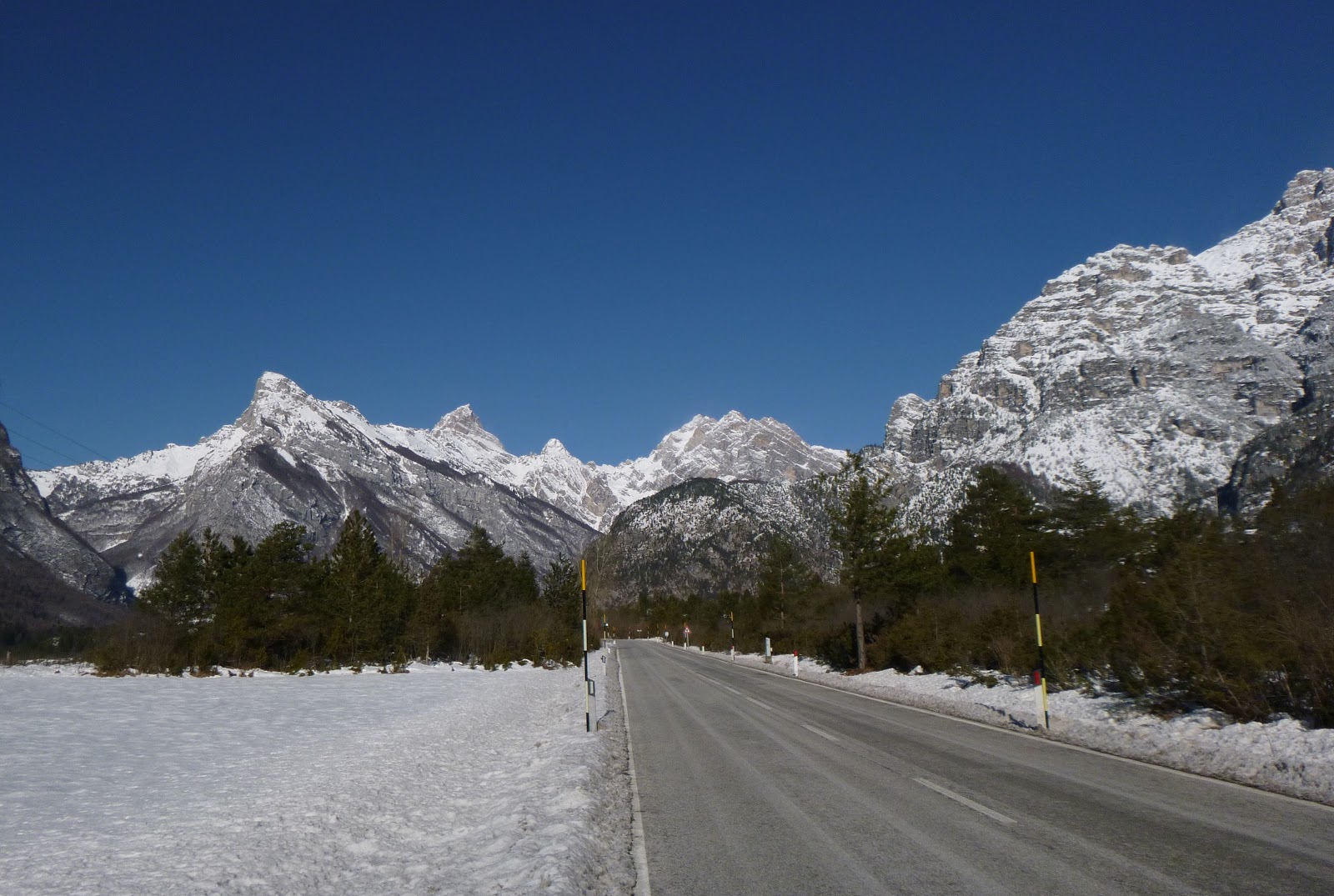 |
| The road to Cimolais |
 |
| In foreground: Pineda piney woods- has nice bike paths, lots of birds, deer, other critters |
 |
| Looking back down Valcellina |
 |
| The icy descent from Passo Sant'Osvaldo |

