Showing posts with label Val Visdende. Show all posts

Wednesday, August 26, 2015

Tillacher Pass MTB

I wanted to visit Val Visdende but didn't want to repeat the Strada delle Malghe from last year.  So instead I climbed from San Pietro di Cadore, up through Valle to Forcella di Zovo.  From there I descended into Val Visdende and began a gravel road climb to 2094 meters Tillacher Pass (or Passo Dignas in Italian) on the Austrian border.  It's quite steep in parts but other than a couple of very bouldery sections, was rideable.  Good views into Austria, where you can descend all the way to Obertillach on Gailtal Strasse if you have the energy.  Instead I rolled back down to Val Visdende, and bypassed Forcella di Zovo by descending directly to the main highway.  Great workout.     

The road coming up from Valle

The parallel road via Costalta which I climbed with road bike a few years ago

Forcella di Zovo, a few meters higher

Sea of clouds

Tillacher Pass is the notch high above

Looking east toward Strada delle Malghe

The switcbhacks up to the pass

Italian Army post from WW I

Austrian side of the pass

View of Austrian mountains

Porze Hutte in Austria

Lovely wildflowers along the trail


Metrics for Forcella di Zovo via Valle 

Metrics for Tillacher Pass from Val Visdende


Friday, July 11, 2014

Val Visdende MTB

I drove up to San Pietro di Cadore early this chilly July morning, then a bit further east turned left toward Val Visdende.  After crossing the Piave River the road switchbacks steeply up to Cimacanale at 1250 meters.  I parked and started riding on a paved road marked Strada delle Malghe, turned left at Pra Marino and continued toward Casera Dignas.  The road is narrow chip and seal, with many sections of pavement washed away.  The climb through the forest is silent and beautiful, with switchbacks when it's steep.  At 1686 meters I reached the casera with grazing milk cows.  

More climbing took me up above the forest into alpine pastureland.  Around 1800 meters the road reaches its westernmost point and turns east, with a steep dirt climb to Casera Campobon at 1920 meters.  A pair of marmots near the dirt road dove into their tunnel.  The menagerie up here includes donkeys, sheep, and deer as well.  This portion of the ride reminds me of Panoramica delle Vette east of Monte Crostis- dirt road running more or less horizontal along a steep slope, with forest far below.  This continues to Casera Cecido at 2014 meters.

At Casera Chiastelin everything changes, as the road becomes single track hiking trail.  Steep, technical, with numerous stream crossings, challenging.  Then at Casera Antola horrible mud (sheep and cow hooves really tear up the trail) combined with a lot of logging debris and steep descending.  Above Malga Chivion the road is being worked on, with tons of large, jagged red rock shards protruding from the roadbed- I was just glad it wasn't mud.

Everything changes again when the trail from Sorgente del Piave joins us, and the road has lovely switchbacks to ease the descent through the forest.  Here I see my first humans (some hikers) since starting the ride 4 hours prior.  The road gets better, then is paved, and finally I reach the car, exhausted.  I will try the Sorgente del Piave-Val Visdende trail next time, warming up on the main road to Cima Sappada.  If I do Strada delle Malghe again I will probably try turning right at Casera Chiastelin and descending the dirt road back to Val Visdende. 


Looking down at steep climb to Casera Campobon

Cima Palombino (2600 m)

Croda dei Longerin (2523 m)

Both peaks to the west, together

Peaks to southwest, Terza Grande (2586 m)

Rhododendron-covered alpine pasture

Monte Peralba (2694 m) to east

The scale of these slopes; Austria borders the ridge line

One of dozens of frigid streams to cross;
I got a foot-soak gratis in this one

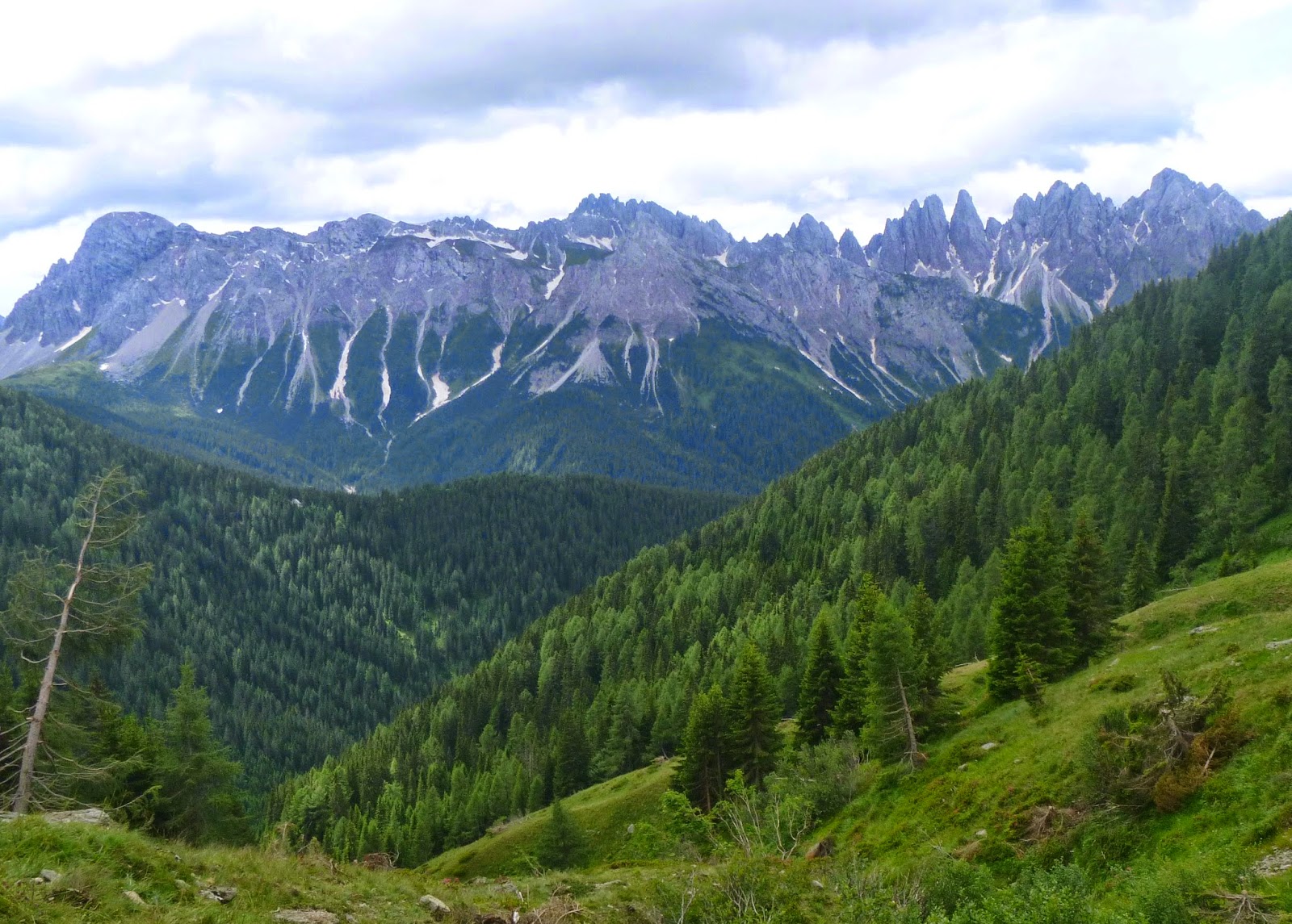
Rugged ridgeline to the south

Ruins of old farmhouse in Val Visdende meadow