Showing posts with label Pian delle Femene. Show all posts

Monday, October 27, 2014

Pian delle Femene

Pian dei Grassi and Pian delle Femene are two favorite climbs above Vittorio Veneto.  Today I tried to combine the two with a short connector at 1000 meters.

I warmed up on Via Pedemontane and entered Vittorio Veneto from Anzano.  I turned left onto the Valdobbiadene road and then turned right at Longhere onto the road marked Fais.  This is an excellent climb up through Borgo Olivi and Menegon and onward through the wooded mountainside toward Pian dei Grassi.  At 1000 meters I took a left onto a dirt road marked Valle Storta, which soon turns to concrete and descends steeply.  This connector road is great except for a short section of dirt/exposed rock which was tricky on the skinny-tired road bike.  If you climb it instead of descending, definitely use a MTB.

At 900 meters elevation you join the Pian delle Femene road which climbs upward a few km to 1127 meters.  I had some extra time so checked out the paved road toward Le Pose.  I'll try to MTB down that further another time.  Fast descent to Revine Lago and then the long ride home.  Now my legs are too tired to ride to school tomorrow.


Start of the connector at 1000 meters

Pian dei Grassi road continuing on up to 1181 meters

Pretty country house along the connector road

Junction with the Pian delle Femene road

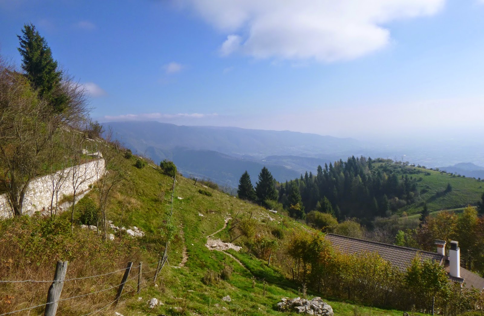
View up the connector road

View east from Casera Lovere (beyond Pian delle Femene)

Forest lane toward Le Pose

View north down Canale di Limana

View west across the grassy hills

View northeast toward Casera Grava

View of Pian delle Femene area from the descent


Friday, July 4, 2014

Casera Frascon MTB

The massif stretching from Lago di Santa Croce to Valdobbiadene has some of the prettiest scenery anywhere.  The north side, covered with miles of forest and meadows, slopes gently down to the Piave River.  Today I rode from Visome, across the river from Belluno, up to Valmorel, Malga Montegal, and Casera Frascon.  The shady country lane winds along Torrente Cicogne up to Pian del Monte (573 meters).  This spot was familiar: I descended here on the way down from Nevegal to Passo San Boldo in 2012 nevegal-valmorel-passo-san-boldo .  Like then, I dove down to Tassei then climbed steeply up the other side of the valley to Valmorel at 792 meters.  

From here I headed up toward Passo San Boldo, but instead turned left on a forested mountain road to  Malga Montegal (900 meters).  Beautiful pastures here, surrounded by tall firs.  I decided I would try a trail starting near Malga Canal del Gat.  Pavement ends as you cross the electric fence and head up a narrow gravel forest road to Casera Frascon (1140 meters).  Fun climb.  

From here you can see over the ridge, across the plains stretching to Venezia (today was hazy so the laguna was only a silvery shimmer).  A lady came down from Casera Frascon and hiked toward Pian delle Femene.  This was good because my map wasn't helping.  So I went the same way she did, a narrow single track on the steep slope, pounded into a trench  by the weight of horse hooves.  I pushed the bike on most of it because my pedals kept hitting the raised sides of the trail.  I descended to Pian delle Femene where you could take the paved road to Revine Lago, or the dirt road to Valmorel as I did.  This is a wide, smooth dirt and concrete road so you can go pretty fast.  I missed a turn at Casera Rosset: instead of going to Malga Montegal I ended up in Melere at 840 meters.  No problem- I quickly arrived in nearby Valmorel.  From here I descended to the Piave River via a different route.  First up steeply to 883 meters then down a wonderful smooth, wide, winding road through Valpiana to Giaon.   The car was parked nearby and I headed home.  Next time maybe I'll try the road bike from Limana to end of pavement at Montegal.  Many possible variations in this zone.


Tassei near Torrente Cicogne

Start of the trail from Malga Canal del Gat to Frascon

Malga Canal del Gat from trail

Malga Montegal from trail

Belluno peaks seen from Frascon pond

Hills to northwest

To northeast the roof of Casera Frascon is visible over the hill

Looking down at the hills west of Vittorio Veneto: prosecco country 

The horse trail to Pian delle Femene from Frascon

Hazy Monte Pizzoc on right, Col Visentin with antennas, center left
Looking down Canal del Limana toward Belluno

Monument to Women of the Resistance (WW II)

Asini in paddock at Pian delle Femene
From 883 meters before the descent to Giaon


Tuesday, June 4, 2013

Pian delle Femene

Pian delle Femene is the perfect climb.  It rises 880 meters in 9 kilometers, averaging 9.7%.   The road is well-made and maintained, with a fairly constant gradient  from start to finish,  climbing through a beautiful wild area with great views. 

I rode down to Vittorio Veneto and turned toward Valdobbiadene.  After Longhere you reach the town of Revine Lago.  Here you turn right.   Climb up out of town past the via crucis below San Francesco church, and the real climb begins.  The only chance to rest is in the switchback ends, where you can soft pedal briefly as you turn upward into the next 10-12% slope.  This goes on for almost 8 continuous kilometers.  

The top is covered in meadows and trees- absolutely beautiful.  I tried a newly paved small road heading west, until I reached a group of slow horseback riders and decided to turn around rather than get stuck behind them.  This road leads eventually to a rifugio called La Posa, but I don't know how much of the road is paved.  Must return on MTB to explore.

Descent was fun and had a tailwind all the way home.  Wonderful ride.  

Beautiful rolling pastureland at top.  Note road to La Posa

Haystacks on poles

View north- you must peep through the fir trees to see Belluno mountains

View of meadows to southwest

On the descent. views of Monte Pizzoc and Pedemontane

Lago Revine from the descent

Tuesday, May 8, 2012

Monte Frascone 2012

"Where are you headed today?" my neighbor asked.
"Above Vittorio Veneto: Pian delle Femene"
"So you are going there to look for women?" she teased.
"No, there aren't any women there.  Only grass and trees"  I played along. 
"Allora, buon viaggio."

I warmed up on the easy glide down to Vittorio Veneto.   Lots of cyclists out for a weekday, even 2 big groups of 20 or 30.  Turned toward Valdobbiadene and continued through the little town of Revine.  Just past the town is a right turn toward Monte Frascone / Pian delle Femene.  After an initial steep wall, you turn left toward Santuario di San Franceso Da Paola.  The road seems steep, but the parallel Via Crucis footpath to the church is even steeper.  Then you head up a series of long switchbacks through the forest averaging 10-12% for 4 km.  I was doing pretty well on this, but then I stopped at Madonna delle Nevi chapel to take some pictures.  It was tough getting back into climbing rhythm after that, and harder still on the following half-kilometer averaging 13.4%.  After 6 km the grade lessens slightly to 9-10%.  At 9 km you reach the end of pavement at Pian delle Femene. The previously crystal blue sky now turned black and it was clearly time to get outta there.  On the descent I went fast at first, then came to my senses and rode more cautiously.  It's a surprisingly wide, well-paved road considering it's out here in the middle of nowhere.  I got down to Revine and then cruised home with a lovely tailwind.  Hope to return to this climb again soon.  

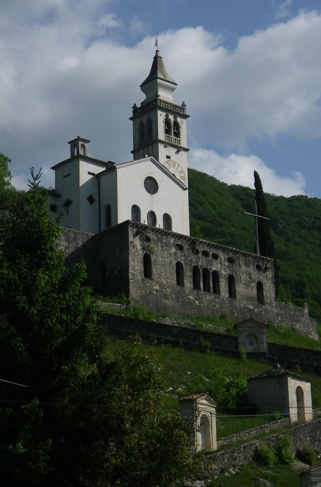
Santuario San Francesco Da Paola

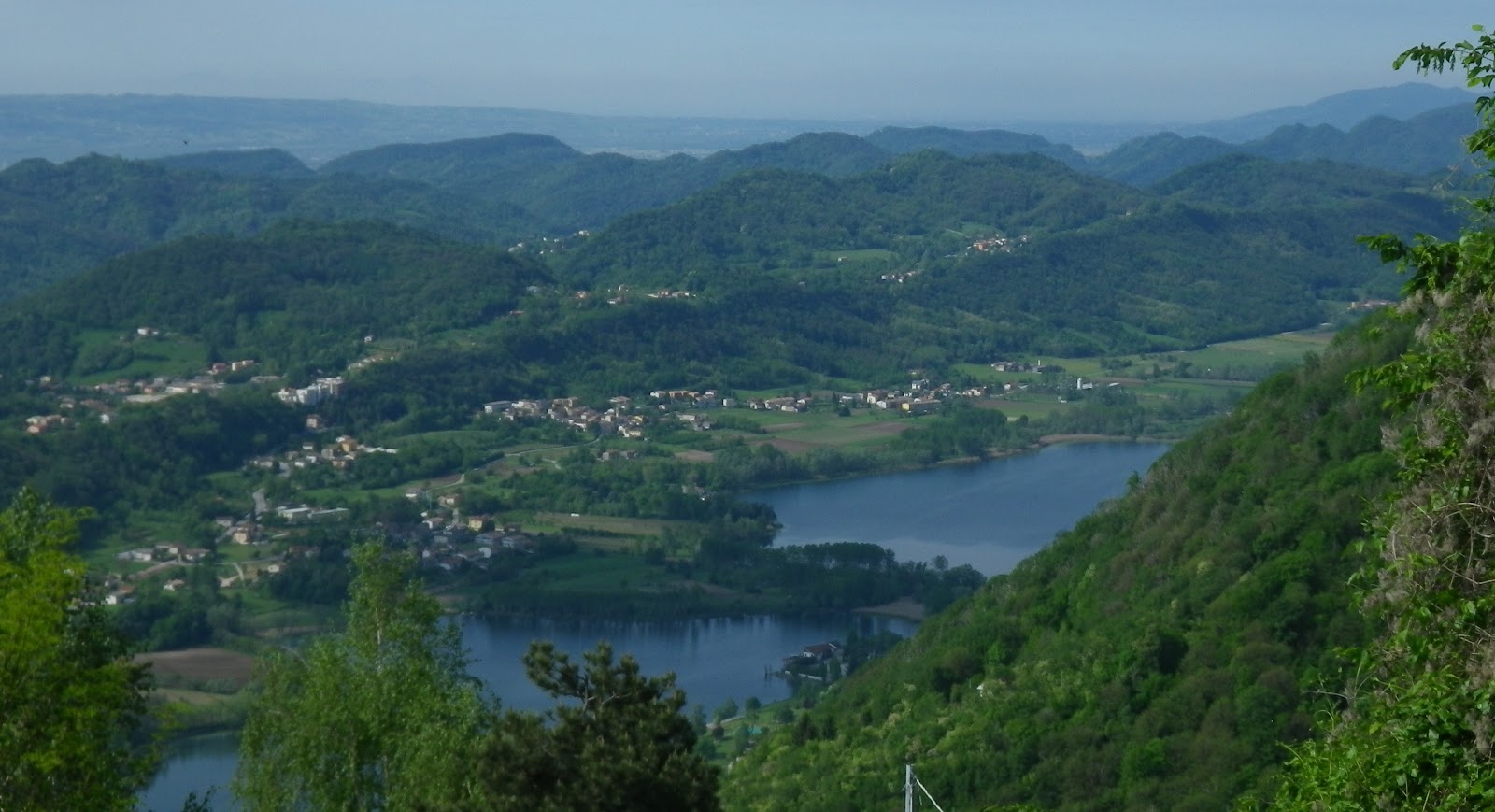
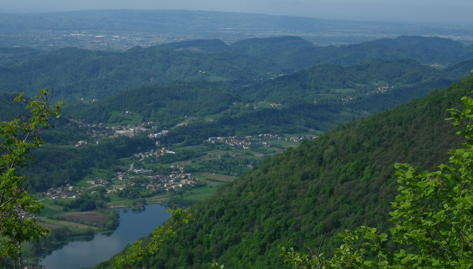
Lago Revine and the prosecco hills in background

Similar view from higher up at Madonna delle Nevi 646m

Memorial honoring women of the Resistance, who fought
against Italian fascists and Nazis

Memorial to the Alpini in WW I
at Vittorio Veneto  


9km averaging 9.7% gradient


Friday, April 8, 2011

Monte Frascone

This morning was overcast and a little chilly, so I over-dressed.   After cruising down Via Pedemontana through Caneva and Anzano to Vittorio Veneto, I stopped north of town to strip off the windjacket and tights- too hot.  Then I turned on the road for Valdobbiadene, and climbed to Longhere.  From here, a few km to Revine Lago.  I couldn't find the turnoff for Monte Frascone, and rode up several streets (one with 20% grade) in the little town looking for the road.  Eventually I headed west out of town, and finally found the turnoff.

The beginning (starting at 233m) isn't bad, riding up through the town, and then more steeply up past a pretty church above town, Santo Francesco di Paola (400m) around 2 km.   The next 2 km average 10%, with brief chances to breathe at the ends of some tornanti.  Then it gets worse- in the following 2 km you gain 236m elevation, averaging 12% with long stretches of 13%.  I had remained seated till here- now I had to stand most of the time.  Eventually the grade finally eases for a few hundred meters, then it's right back to almost 10% average for another couple kilometers.  At the end it mellows out for couple hundred meters until pavement ends at Pian delle Femene.

I'd reached the top last fall, but there was a biting fly invasion, so I turned around immediately.  This time I got to enjoy the lovely meadows and rustic farmhouses.  Very peaceful place.

The descent is fast (wide road with good pavement)- quite fun.  At Revine Lago I turned left and continued descending to SS52, the main road north from Vittorio Veneto.  I then continued for 40 km, through Vittorio Veneto and Anzano  to home.   Must have had a tailwind- seemed easy.  Didn't bonk and no serious leg fatigue this time.

Great climb- recommended!

Pretty meadows at Pian delle Femene

A farmhouse on the grassy slopes 

The southeast slopes of Monte Frascone; in background Monte Pizzoc

Revine Lago with some of the lower switchbacks in foreground

A stone house along the climb to Pian delle Femene


Gradient average 9.7% for 9 km


Tuesday, September 14, 2010

Pian delle Femene

A gorgeous September day.  Cruised down Via Pedemontane Occidentale to Anzano and Vittorio Veneto.  Near the park in front of the municipio I headed up the road to San Lorenzo.  This is a lovely shady parkway, climbing easily up 13 tornanti to 417 meters.  The village of San Lorenzo is in a pretty meadow, surrounded by rolling forested hills.  The road continues up to a pass, then descends curvily to a junction.  I turned right, through Nogarolo and down a bad road to Revine.  I think I'll try turning left next time.

At Revine I turned left on the road toward Valdobbiadene, then took a right toward Pian delle Femene.  It soon steepened to 10% grade.  My back was still sore from Castello Valdajer on Friday, so I stood to climb most of the ascent.  At 464 meters you reach the top of the Via Crucis from Santuario Santo Franceso da Paola, which reminded me of what I'd read in Passi e Valli in Bici Prealpi Venete  :  "preceduto dai capitelli delle Via Crucis, facilemente associabili al personale "Calvario" di chi sale con una pendenza che non scende mai al di sotto del 10%."

The road is less shady than San Lorenzo, and climbs relentlessly except for some easing in the 180 degree curves of the tornanti.   The baseline seems to be 10%, with numerous stretches of 11-12%, and a half kilometer of 13%.  The average grade is 9.7% for 9 kilometers.

I reached the end of the paved road at Pian delle Femene (1126m), a meadowy area on the side of Monte Frascon.  There were biting black flies so I headed back down.  Took it slow on the descent because the road is generally good, but has some craters that would be bad if hit at speed.

At Revine I headed on the main road to Longhere north of Vittorio Veneto, through town and back home.  Felt great on this return leg so I'm guessing there was a tailwind, because normally I'd have been tired.

I did notice on the ride home (and the earlier ride to Vittorio Veneto) a number of Italian young ladies driving just behind or alongside me, who then passed and smiled.  I found this odd and can't figure it out.  My hunches are:
     1.  My hair is sticking out through the vents in my helmet, like a Flowbee 
     2.  My olive drab CamelBak clashes with my blue bike jersey and shorts
     3.  They have never seen a road biker who doesn't shave his legs.

Anyway, try this climb if you are looking for a good workout.  It also has great views of Il Cansiglio, Lago Revine, Vittorio Veneto, and the pass of San Lorenzo (felt strange looking down at it so far below after climbing it earlier).

Casera Togo (To Go?) at Pian delle Femene


Looking down at passo San Lorenzo

Monte Pizzoc, Il Cansiglio

Lago Revine
North part of Vittorio Veneto
Gradient
Ride details