Thursday, July 26, 2012

Mangart

I started from Bovec (450m) in Slovenia around 0745.  It was heavily overcast and looked like it could start pouring any minute.  In fact after a few minutes it did begin drizzling lightly for a couple of hours, almost throughout the entire climb. The road climbs easily up the Koritnica River valley, past Kluže Fortress and onward to Log Pod Mangartom (645m), a picturesque village with wide meadows along the river, surrounded by mountains.   Here the gradient begins to steepen for next 4 km, averaging 8.6% through Strmec (975m).  A bit further up, after a tall bridge at 1100 meters you reach the turnoff for Mangart (or you can continue straight for another 2 km to Predil Fortress at 1156m).

The first segment of Mangart climb is through a rocky area along a stream, normally exposed to full sun.  But today it was cloudy with a cooling mist, so no problems.  A bit further on the environment changes to fir trees, then big shady beech trees.  Very nice through here.  Then you're exposed on bare rock again, with scattered trees and a few tunnels to cool off in.  The first tunnel had been commandeered by a maraudering herd of goats, who were laying about in the road without concern for passers-through.  Luckily I was able to weave a path between them without being impaled on any horns.  

The final section is alpine, bare rock with some small grassy areas here and there covered with wildflowers.  Quite cold here as the wind was blasting.  At the high point (2055m) I parked my bike and hiked up to the edge of the north facing cliffs.  Here are wonderful views of Laghi Fusine near Tarvisio, valleys, and more mountains.

The windy descent was quite cold, despite my windjacket.  Once I got down a bit lower it warmed up some.  Still I rode fairly slowly because of the damp pavement.  

Mangart's an excellent climb, 10km averaging 9%, with awesome scenery.  The road's not as busy as some others because of its remoteness, it's a dead-end, and has a toll on cars and motorcycles.   I'd climb it early in the morning or on a cloudy day because it's mostly exposed to full southern sun.

Jof di Montasio (2753m)

Kanin range (2587m)


Laghi Fusine with Austria in background

Skala (2133m)

Mangart (2677m)

Close up Laghi Fusine

Looking over the sheer cliff-edge, with wildflowers


Koritnica River gorge
Downstream the gorge narrows to only a few feet across


The climb from Log Pod Mangartom to Mangart

Monday, July 23, 2012

Grossglockner

I arrived at Bruck (near Zell am See) after 4.5 hour drive and started riding at 0800.  It was quite nippy at Bruck so I tried to warm up as quickly as possible up the gorgeous green valley of roiling Fuscher River.  This valley has more waterfalls than anywhere I've been, mind-boggling quantities of waterfalls.  Just past the small town of Fusch the Hochalpenstrasse starts, and immediately the road begins climbing.  A bit later it levels out briefly at a toll plaza and kid's nature park.  Luckily bicycles are now exempt from the toll (though they were originally included).  After the toll plaza the gradient steepens again, and mostly stays that way.  The low and middle portions of this climb have very few switchbacks, so there is not much chance to catch your breath.  The middle 13.5 kilometers have an average gradient of 9.5%, which is quite strenuous.  Higher up, more-frequent switchbacks give you a little chance to breathe at the bends.  Luckily the cool temps kept my radiator from boiling over, and the spectacular views made it difficult to dwell on the suffering.

At the top I was confused about which of the 2 summits to climb, so I continued up the main road to Hochter, a viewing area at 2504m.  Then I rode back downhill slightly, and began the hard climb up to Edelweisspitze (also signed Bikers' Point).  This is a 12%-average-gradient stack of switchbacks, paved in porphyry-block, ending at 2571m.  Panoramas here are unbelievable.

I put on arm and leg warmers for the descent (it was slightly above freezing up there, though sunny). The switchbacks were fun, as well as a few of the long straight plummets where there wasn't too much traffic.  But for the most part it was too congested to descend at full speed.  Not only cars, buses and motorcycles but quite a horde of bicycles, mostly mountain bikes and hybrids, a few fully-loaded tourers and some road bikes.

I want to return and do the climb up the south side, from Heiligenblut to the glacier at Kaiser-Franz-Josefs-Hohe, then roll back down to the main road and continue to Edilwesspitze.  Definitely recommend the Hochalpenstrasse- you've got to see it to believe it.

Grosse Wiesbachhorn (3564m) with fresh blanket of snow 

Snowy Hohe Dock (3348m)

Grossglockner (3798m)

Hochter with Hochalpenstrasse looping around it prior to descending the other side

Some of the upper switchbacks, with natural history museum lower right

Glacier below Grosse Wiesbachhorn

One of many glorious waterfalls

The valley below Hohe Dock

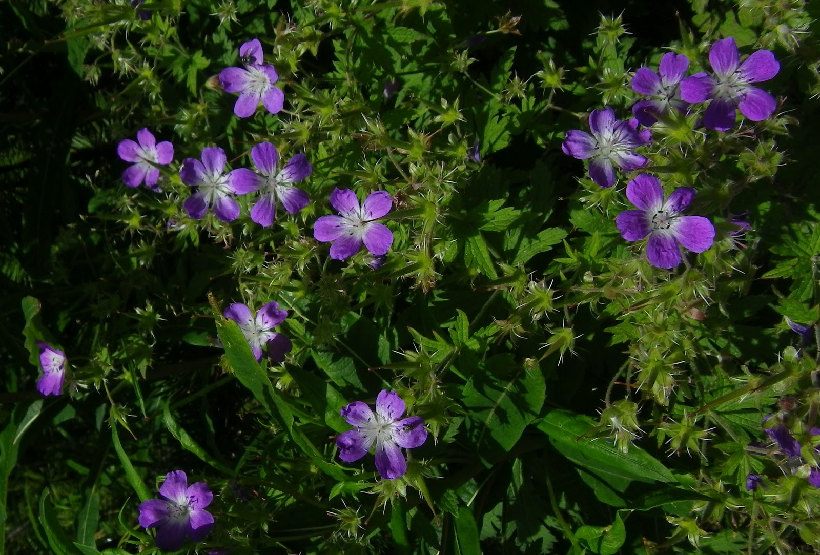
Pretty wildflower

Looking back up the valley from below

Another noisy waterfall

The warm-up

The upper climb

13km of 9.5%
Garmin reading about 95 meters low

Thursday, July 19, 2012

Passo di Stelvio da Prato

This legendary climb speaks for itself:
- punto di partenza: Prato allo Stelvio, 950mt
- lunghezza: 24.3 km
- pass altitude: 2758 mt
- dislivello: 1808 mt
- pendenza media: 7.4%
- 47 tornanti


I left home at 0330 and arrived about 0800.  I spent 10 minutes looking for parking in Prato but it's all either pay-to-park (100 minutes max) or marked for clients only.  So I drove out of town and found a free spot along the climb.  I warmed up on the easier 5%-7% beginning stretch of the climb.  After the first 10 km it starts getting a bit steeper.  I remained seated except to stretch, and on the brief steeper parts.  The climb is long but not super-difficult, so don't be intimidated.  Today was especially nice; though there was full sun, the cool air compensated and I never felt too hot.  Traffic wasn't too bad on the early climb but quite busy when I descended- probably best to get started 0600-0700 so the traffic isn't too heavy on the descent. 
By the time I descended there were tons of cyclists climbing up: lots of ladies, older folks, even a couple of kids on small race bikes with 24" wheels.  Much different than the riders I usually encounter climbing around Friuli.

The most striking aspect was the natural beauty of this climb- whitewater, wildflowers, spruce forests, snow-capped peaks, even a very cool glacier.  I definitely want to ride it again  and explore the environs more. Upper Sud Tiröl is surely one of the most spectacular areas in Italy.

Roiling Rio Solda along the early kilometers of the climb

Wonderful view of Trafoi (1540m) church and surroundings

A very nice German man asked if I wanted a foto taken;
sorry as always for the helmet hair

View of the upper stack of switchbacks

A different angle

Awesome glacier "flowing" down slopes near Passo di Stelvio

Close up: note the dark grey "rock meal" covering most of the glacier surface

Glacier overshadowed by beautiful wildflowers

More wildflowers

Yet more wildflowers

Mountain biker scaling a switchback

Rio Solda with driftwood and whitewater  


Starting warm-up and the first tornanti

The tornanti higher up

Last 14km average 8.6% gradient

Monday, July 16, 2012

Planina Lom da Tolmin

Soča River valley in Slovenia is one of the most beautiful places I've ever been.  Broad green pastures, a turquoise river, flanked on both sides by steep spruce-covered slopes.  Here and there you find a small town, or a church with ornate copper steeple.   Numerous climbs scale the surrounding mountains, with magnificent panoramas of the landscape.  And it's easily accessible from Italy via Val Natisone.

I parked at Ponte di San Quirino below San Pietro di Natisone, and then warmed up by riding to Kobarid.  From here I followed the Soča down to Tolmin, and crossed through the town.  I intended to climb Tolminske Ravne but couldn't find the road (turns out you must follow the signs for Žabče).  So I saw another name I recognized and tried that- Poljubinj to Plainina Razor.  The climb is mostly tree-shaded, starting easy at 225m up to meadowy Ljubinj (390m), gradually getting steeper.  It averages 8-9% on the 8km from Ljubinj up to end of asphalt at Plainina Stador (1040m).   The dirt road isn't bad, though it was a little muddy after the 4 straight days of rain we've had.  The grade is easier (2-3%) till Plainina Lom (1060m), a pasture with a couple of huts/small houses with cows mulling about.  I turned around here, though the road actually continues, steeply up concrete ramps and on dirt roads for 6 more kilometers until 1315m at Plainina Razor.  The Ediciclo guide says you need a mountain bike.  Maybe I'll try it next time.  


Kamno from the road along the Soča River

Soča flowing downstream from Tolmin bridge

Kolovrat from Tolmin bridge

Rocky peaks to east

Tolmin looking back up Soča valley

Meadows and villages to the south

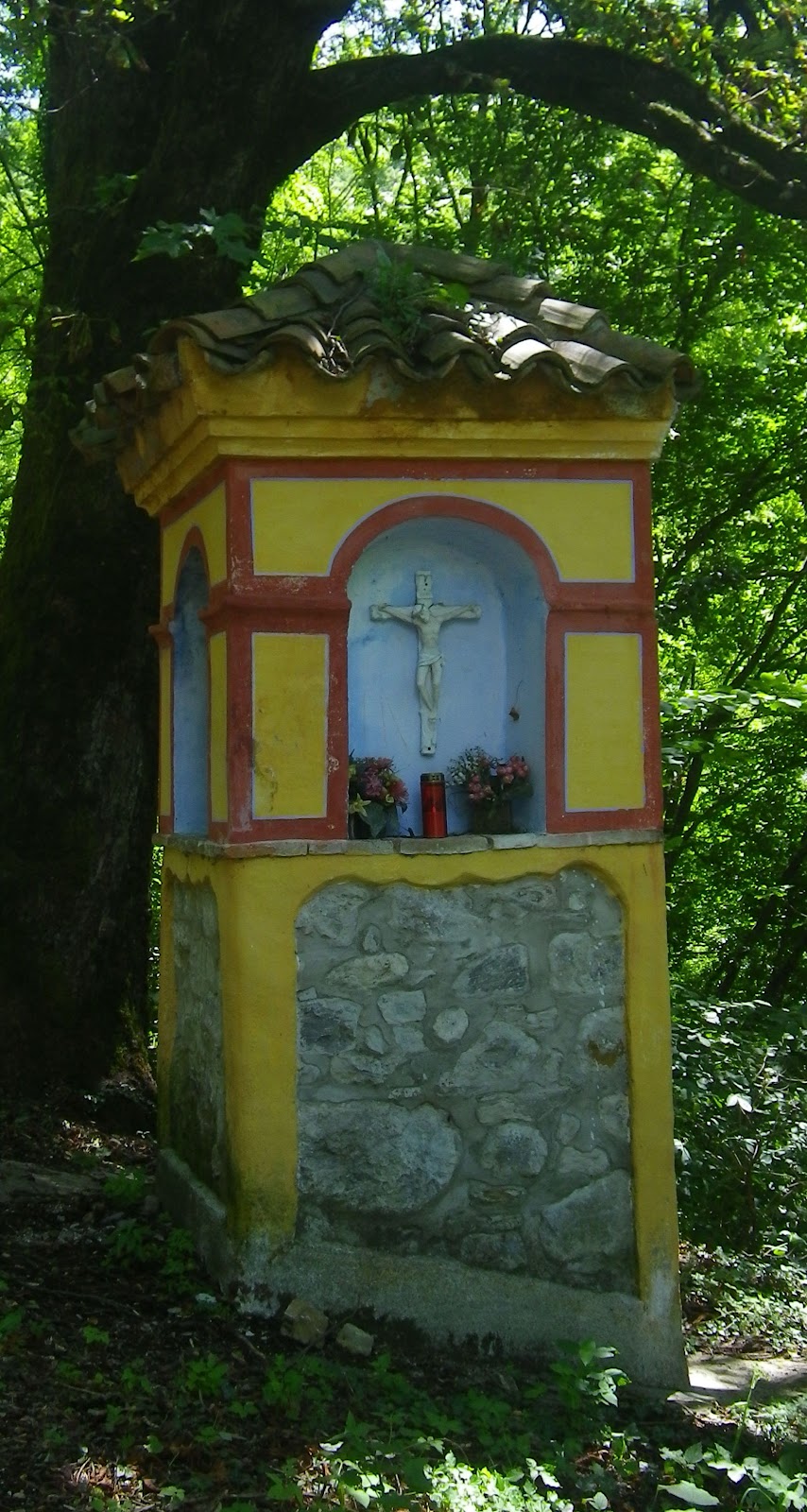
Capitello along the road to Ljubinj

Close up peak to east

This area is part of Triglav National Park 

Another shot of the tall rocky peaks to the east 

Most na Soči to the southeast

Village and meadows above Ljubinj


Close up of climb