
I descended to Tambre and turned right toward Pianon. Now you are on Via Cate, a cliffside panaramica road following the contour line along western Alpago. At the turn off for Pian Formosa head steeply upward. It's less than 2 km but makes you work for every inch, topping out around 1200 meters.
I headed home directly through the Cansiglio, skipping Col Indes and Pian Rosada. Descending to Sarone something popped off of my bike as I sped over a big bump. Looked around awhile and found my Garmin Oregon in the weeds. I figured it was toast but it didn't miss a beat. Heavy, but tough.
 |
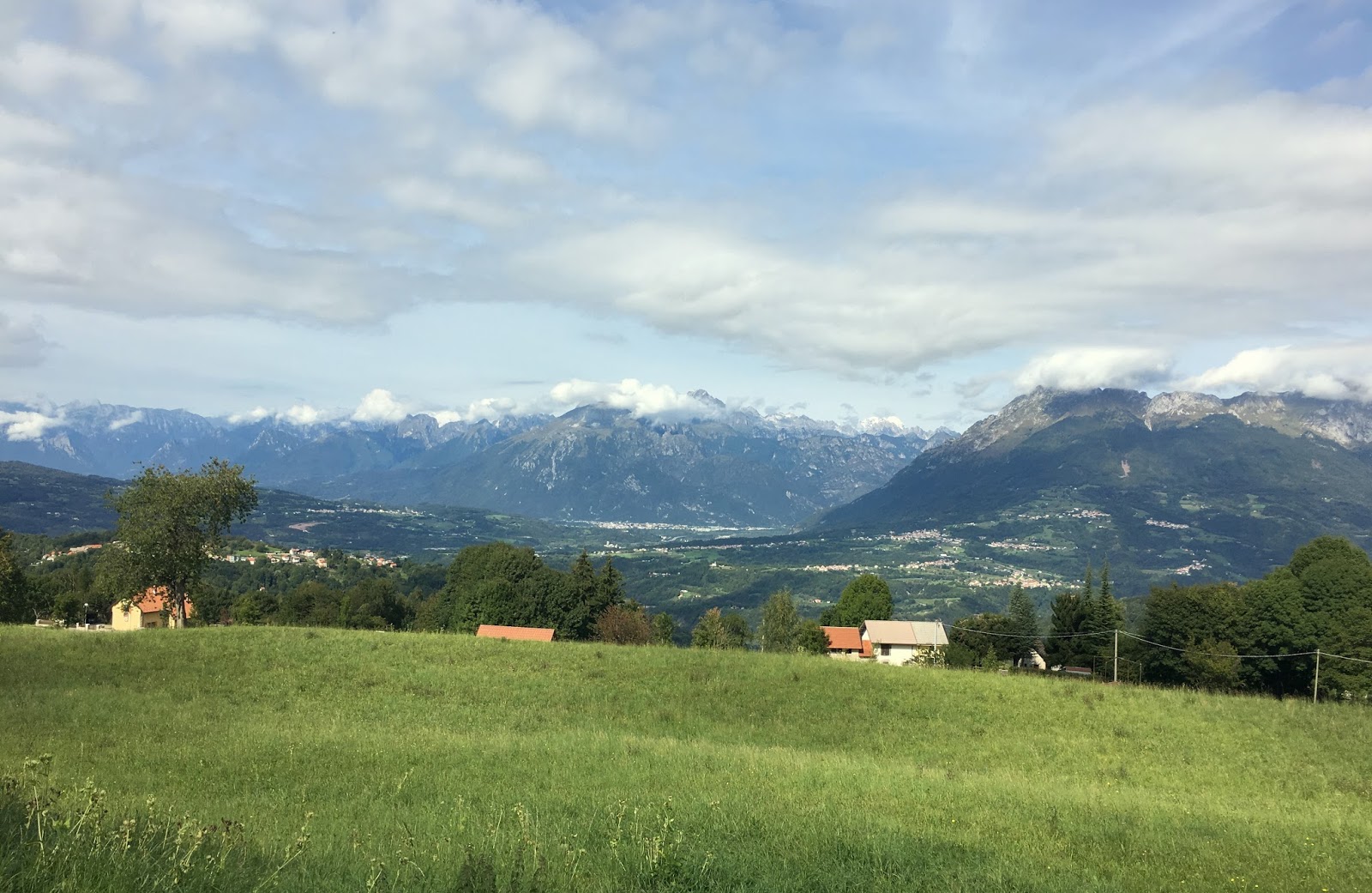
| Alpago panorama from Col Indes |


 |
| Monte Messer |

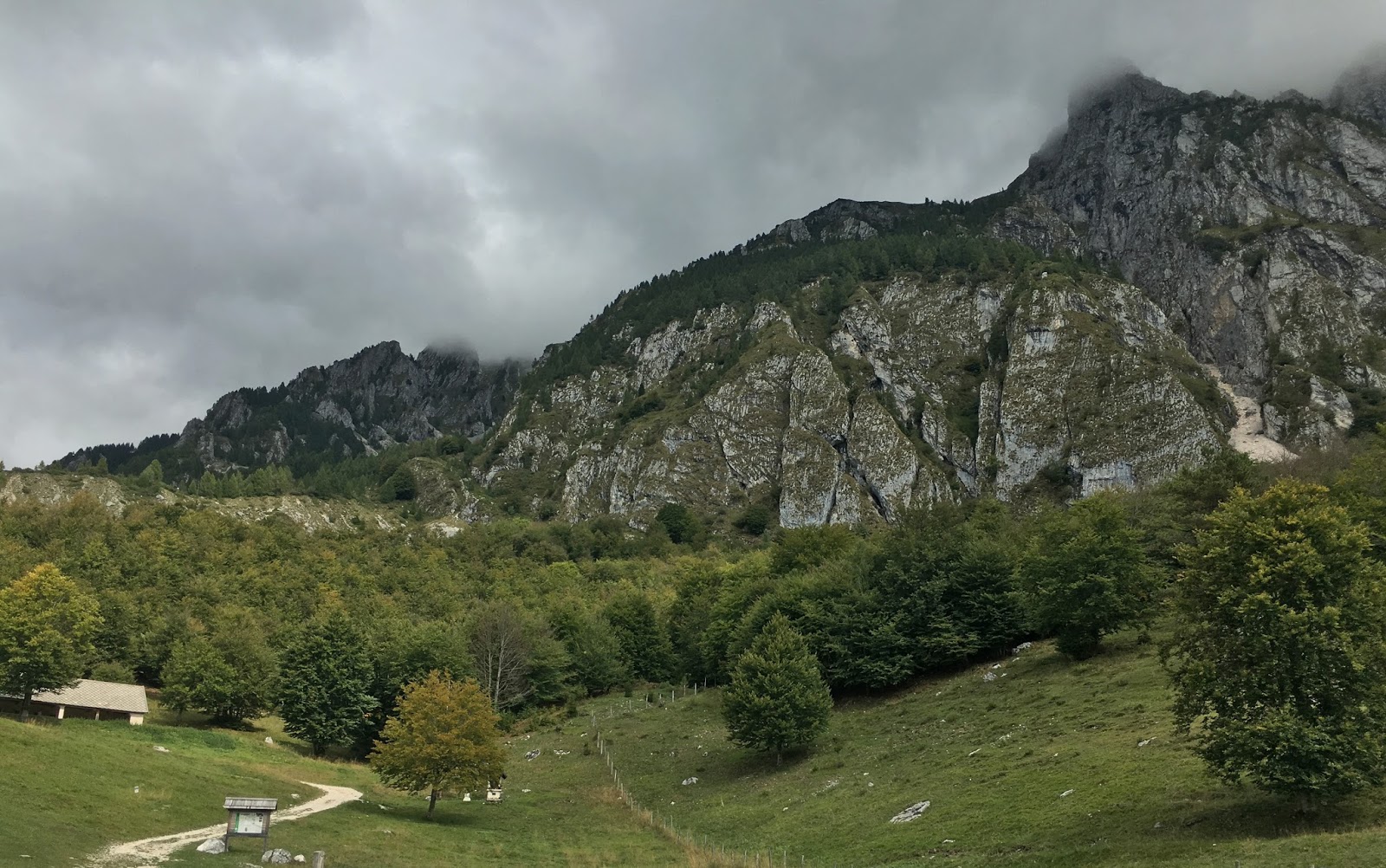 |
| Pian Formosa |
 |
| Monte Messer close up |
 |
| The high pastureland of Pian Formosa |
 |
| Sarone La Crosetta climb; I refused to use the 34-34 gear out of vanity |
 |
| Pian Formosa climb |
No comments:
Post a Comment
Note: Only a member of this blog may post a comment.