Saturday, July 31, 2010

Pian Formosa

Tried another climb in the beautiful Alpago area to redeem myself for bonking so hard on Wednesday. Today it's the climb up to Pian Formosa from Puos d'Alpago. Skipped the warm up from Vittorio Veneto this time, but the starting 5 km climb from Puos up to Chies d'Alpago isn't too bad, beginning at 5-6% and then gradually increasing to 9-10%.

After Chies it gets steeper, with long stretches of 10-11% on the 3 km climb to Alpe di Mont. Here the fun begins: 300 meters of 16.7%, then 400 meters of 15%, followed by a half kilometer of 13%. I tried pedaling at a lower cadence when standing than last time to stay within my lungs' limits, and it seemed to work. Imagine stomping grapes versus dancing on tiptoes, and you get the picture. Also the very steep bit was about half as long today, which made a big difference.

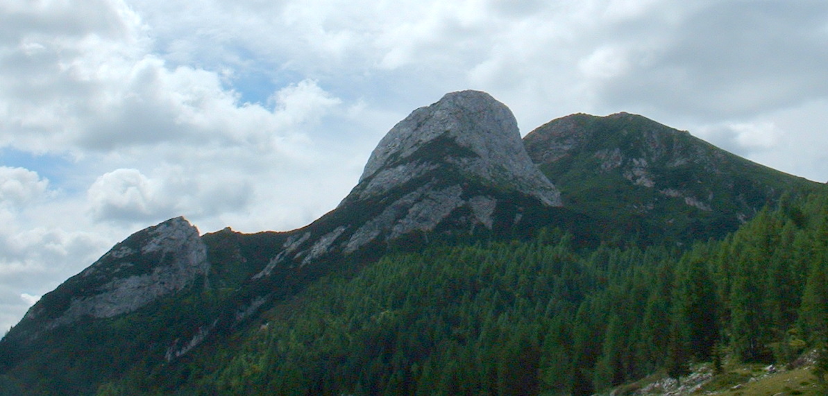
Pian Formosa (1204 meters) is a pretty meadow with cows and a few farm buildings in the shade of a rocky ridge leading up to Monte Messer, 2230 meters. There are also some nice big beech trees in the area.

Instead of going down the same way, I turned down the road to Malga Cate, which goes along the edge of the gorge to Tambre. There you rejoin the wide main road which loops and swerves all the way back down to Puos. Very fun scenic ride.


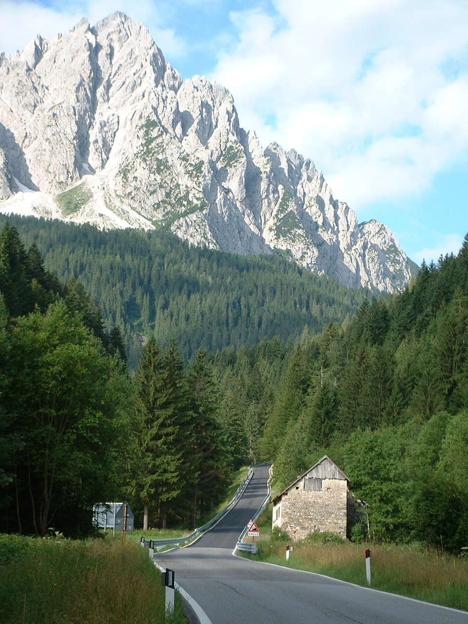
Monte Dodala from Pian Formosa


Irrighe with Monte Teverone looming above


Molini just to the west of Irrighe


Ridge above Pian Formosa


Beech trees between Pian Formosa and the ridge


Lago Santa Croce and Monte Faverghera (1641 meters)


Mountains toward Belluno


Gradient from Chies d'Alpago to Pian Formosa


Wednesday, July 28, 2010

Monte Dolada (Rifugio Dolomieu)


Toughest climb I've done, hands down.

After warming up on the easy climb from Vittorio Veneto (155 meters) to Sella Fadalto (487 meters), I followed the western shore of Lago Santa Croce to Paludea. Here the climb begins for Rifugio Dolomieu (1494 meters) on Monte Dolada (1938 meters, pictured above on left).

Starts off nice enough- it averages 7% for the first 6.5 km up through Tignes, and Pieve d'Alpago, steepening to one km of 10-11% below Plois.

But the last 6 km from Plois to Rifugio Dolomieu averages 10.7%. This breaks down to one half km of 15%, a stretch of 10-12% followed by another half km of 15%, more 11-12%, and another half km of 15%. The steepness is unrelenting- you keep thinking it must flatten a bit after the next bend, but instead it only gets steeper. I stood in the pedals and tried to inhale enough oxygen to fuel this ascent but on five or six occasions I had to stop and breath for a few minutes to catch up. The problem was finding a place to stop and rest with a wide enough roadway to restart with clipless pedals. I was lucky except for one stop, where I had to walk maybe 50 meters to find a restarting point.

The bottom two thirds of the climb are exposed to the sun, so quite hot. The last third is covered in trees, which helped stave off heat exhaustion. The pavement is mostly good, so no added complications there. Oddly the Ediciclo guidebook rates this climb easier than Monte Crostis or Passo Cason di Lanza. Maybe if I try again in Fall when it's cooler and skip the warm up climb from Vittorio Veneto it will be easier.


Mountains on north shore of Lago Santa Croce


To the northeast, Monte Teverone, 2345 meters


Steepness


Lago Santa Croce from above


To the east Monte Cavallo (2251 meters, on right) and Monte Messer (2230 meters, on left)


This guy scared me zooming down from Rifugio Dolomieu. I was taking a picture of mountains and suddenly heard this whooshing noise as his hang glider swooped directly above me


Beautiful landscape of Alpago


More mountainside villages


The gradient above Plois


Close up of ascent route


Sunday, July 25, 2010

Passo Cason di Lanza da Paularo

Tough climb into the backcountry near the Austrian border- beautifully forested but strenuous workout.

Warmed up riding from Cedarchis, following Torrente Chiarsò up the wooded valley to Paularo (640 meters). Here the steepness begins. The narrow mountain road winds up the mountainside to Plan di Zermula (1100 meters), hugging cliffs above the white water below, with a 2.5 km stretch of 10%.

Then the road descends to a bridge over Rio Lanza at 970 meters. Immediately after, you hit the first of 3 stretches of +14%, each half a kilometer long, with several 16-17% ramps. I stood on the pedals for most of these 5 km. Luckily it was nice and cool out, so I didn't vapor-lock.

The pass (1552 meters) was rather crowded with cars and people eating at the rifugio, so I didn't stay up there long. I went back the way I came, holding the brakes all the way down to avoid building up speed. Not a safe road for high speed descents.

Later I will try the other half of the ride, from Pontebba up to Cason di Lanza. Some reports say it is unrideable on a roadbike, others say you can- I'll check it and see.


View toward Paularo and dolomite mountains 10 AM


Rio Lanza rapids down in the gorge


From bridge over Rio Lanza


Looking from the pass toward Austria


Mountains south of the pass


Southwest toward Veneto

Waterfalling from high above


Waterfalling down into the bottomless gorge


4 mountain bikers winding up the tornanti


The grade from Paularo to Passo Cason di Lanza


Wednesday, July 21, 2010

Sella Valcalda - Monte Crostis

Another double-header today; first Arta Terme (506 meters) to Sella Valcalda (958 meters). Then the main event- Sella Valcalda to Monte Cristis (1934 meters).

Sella Valcalda was the warm-up for Monte Zoncolan in the 2010 Giro. It isn't bad, but has a healthy 3km stretch of 10-12% toward the top. I climbed standing on the steeper parts to save strength for the ascent to come.

After riding around a bit to cool down at Ravascletto, the ski resort at Sella Valcalda, I headed up the big slope toward Monte Crostis. It's a narrow mountain lane through wonderfully shady fir forest. The gradient dithers around 8-10% mostly, with two stretches of 13% about 1 kilometer long each. So the average grade works out to 9.1% for 10 km, taking you from 958 meters up to 1870 meters. It's strenuous but I took it easy and stood often to avoid lower back strain. Didn't seem as bad as my guidebook made it sound "Salita di estrema difficolta".

Around 1650 meters the road exits the shady fir forest and enters a grass covered alpine zone. A bit warm in the sun (even at 10 AM) but not bad. After some long switchbacks in the open, the pavement ends abruptly at 1870 meters. I read through several Italian cycling forums and opinion was divided on whether the rocky, unpaved "strada panoramica delle vette" was cyclable on a roadbike. The first stretch certainly was ok- tightly packed and mostly small red stone chips. There were some quite rough rocky stretches too. My advice is don't bring fancy wheels or tires or a bike you don't want the paint chipped. Other than that you'll be fine- I didn't fall on 6 km of this road, though I did a lot of standing and changing my line to avoid the worst stone piles.

At one point I came across a man and a cute black and white spaniel. I heard a loud whistling, like when someone puts 2 fingers in their mouth and blows hard. I figured it was the guy calling the dog, but no. I looked toward the source of the shrieking sound, and about 40 meters upslope was a big marmot standing on a boulder. I noticed the dog wasn't cooperating with the man, and I asked if the dog was scared of the marmot. The man said no, it was his friend's dog and wasn't used to him. So he put the dog on a leash for a walk up the grassy slopes. I pointed out the marmot and the man, whose vision was better than mine, noted it had a little juvenile marmot with it. So I'm presuming the mother was trying to scare off the dog to protect her baby.

Eventually the strada sterrata joined the paved road coming up from Tualis and Comeglians. This is the highest paved road in Friuli, at 1934 meters. There is a sheep and goat farm in the meadow below so you can hear the babies calling. To the west, beautiful views of the mountains toward Cortina ( though quite hazy and partly cloudy by now). It was cool looking down at the little towns along the Val Degana.

Very steep curvy descent to Tualis at 890 meters. This route would be a harder climb- maybe I'll do it someday. At Tualis I took the cliff-hanging road via Salars to Ravascletto, then down the hill to Arta Terme.

Great ride- do it on your mountain bike or a rugged road bike. You won't be disappointed.

I'm afraid many of my fotos were unusable as the sweat vapor in my jersey pocket seems to have steamed up the inside of the lens- I couldn't wipe it off. It apparently dried off on the sunny strada sterrata. Still quite hazy skies today- my apologies.


Looking down the forested slopes from strada panoramica delle vette


Mama marmot and baby


On the lookout for predators


Cows and horses enjoying a picnic in the alpine meadows


The level roadbed of the strada sterrata


Looking down through the haze at Tualis and Comeglians


Vertiginous grassy hillsides with scenic gravel road


Val Degana and mountains toward Cortina


Cloudy peaks to the west


The grade on the paved road from Ravascletto up to 1870 meters


Monday, July 19, 2010

Cima Sappada - Sorgente del Piave

Today was one climb stacked atop another- first Cima Sappada (1290 meters) from Comeglians (522 meters), then Sorgente Piave (1836 meters) from Cima Sappada.

Got started at 0730 from Comeglians- nice and cool out. Headed up Val Degano to Forni Avoltri (888 meters), then continued up the easy grade to Piani di Luzza. Here the easy grade ends, with an 800 meter ramp of 15%, followed by switchbacks averaging 8.3% to the top. Rested a bit and snapped some pictures, then headed on to part 2.

The route to Sorgente del Piave is a narrow mountain road, with lots of short steep switchbacks, and numerous stretches of 14-16%. It follows the beautiful Val Sesis through the fir forest, with plentiful rapids and waterfalls. Further on, a few meadows open up, with cows and their clanking bells, like a distant gamelan orchestra. The altopiano is covered in tufted grass, surrounded by high dolomite peaks. At end of pavement is a spring where the Piave River begins. I made it to the top at 10 AM, rested, and took some fotos.

I got quite cold on the way down. Felt great, knowing how hot it would be when I got home.

Highly recommend this climb if you get a chance- beautiful backcountry, and though it's steep, it's certainly rideable. Enjoy!


Monte Siera from Piani di Luzza


Monte Pieros (2314 m) from Piani di Luzza


Beginning of the 15% ramp after Piani di Luzza


Monte Curie (2036 m) from Cima Sappada


Monte Siera (2443 m) from Cima Sappada


Mountains to southwest of Cima Sappada


Waterfall on the Piave River


Chutes on the river


Another lovely waterfall


Monte Rinaldo (2471 m) from altopiano


Sorgente del Piave w/statue of Italian WW I helmet


Monte Peralba (2693 m) east of altopiano


Dolomite spire above Rifugio Calvi


Monte Lastron (2449 m) west of altopiano


Dolomite towers along ridgeline


Close up of dolomite formation


Rapids on Piave River


Small waterfall on Piave


Pretty little waterfall on Piave